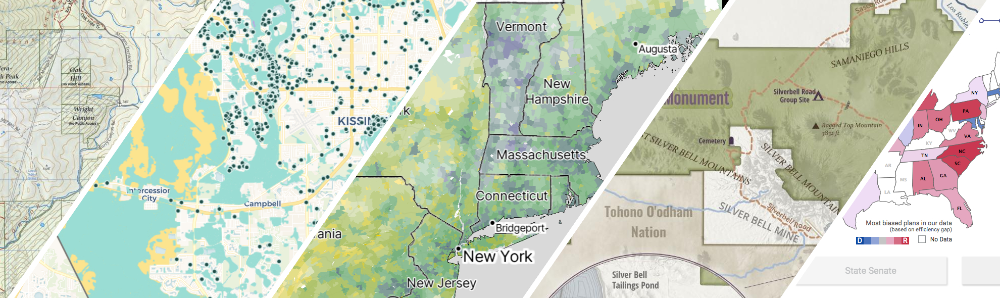
Portfolio
GreenInfo works on both a wide range of projects in the public interest and across many disciplines. We offer information design, cartographic, web design, design research, and accessibility services to partners working in conservation, social and environmental justice, public health, voting rights and democracy.
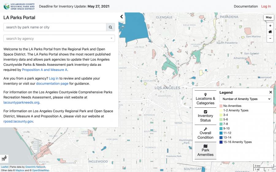
An inventory of parks for Los Angeles County
With the passing of the 2016 Measure A (Safe, Clean Neighborhood Parks and Benches Measure) came a greater need to organize and inventory the various parks across in LA County. Greeninfo partnered with Los Angeles Regional Park and Open Space District to create a portal where various agencies can update their data in a streamlined environment in accordance with this new demand.
Read more about An inventory of parks for Los Angeles County
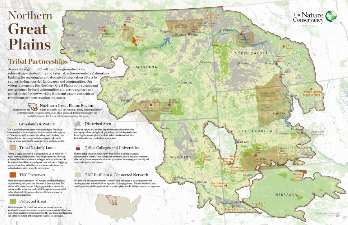
Mapping the resilient Northern Great Plains
The Nature Conservancy has a big, landscape-scale story to tell about its work with Native tribes and ranchers across the prairies of the Northern Great Plains. We made a series of six showcase maps of the work, including three thematic views of the whole regions and three highlights of specific TNC preserves. These maps won First Place for a Map Series or Atlas at the 2020 Esri User Conference, the world’s largest mapping industry event.
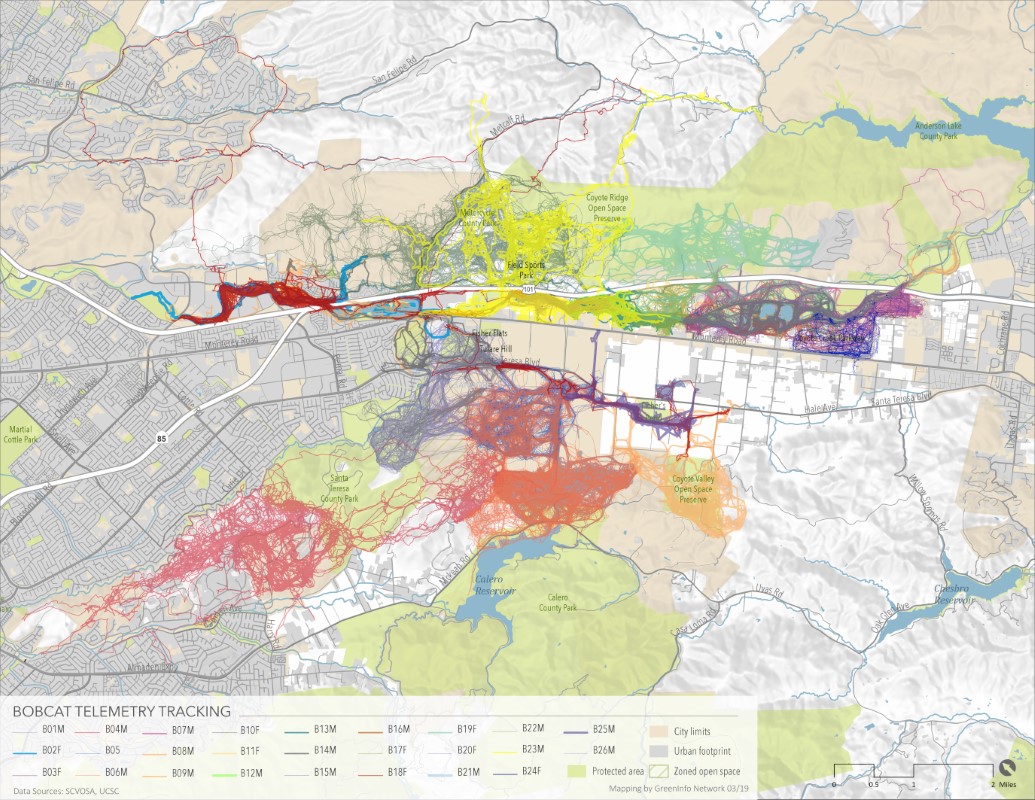
Mapping Wildlife Crossings in San Jose
Greeninfo developed a series of maps for Santa Clara Valley Open Space Authority to map wildlife crossings in the San Jose Area, specifically Coyote Valley which serves as a key habitat connector between coastal and inland habitats.
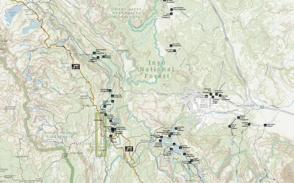
John Muir Trail Maps
The John Muir Trail Foundation partnered with GreenInfo Network to create definitive poster and detail maps of the John Muir Trail. The 220-mile trail was established back in 1915 and stretches across the high Sierra Nevada of California.
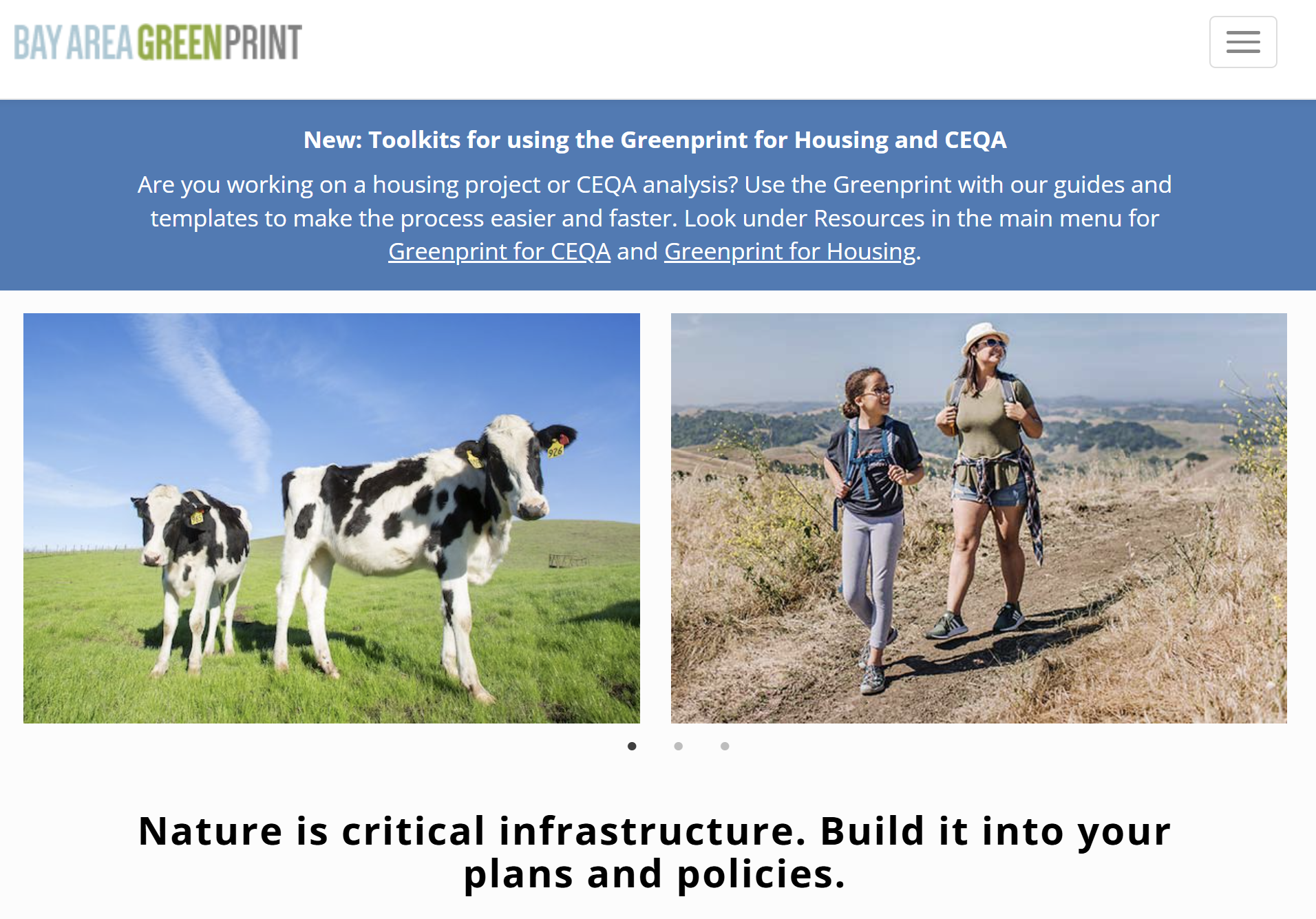
Bay Area Greenprint application
Bay Area Greenprint is a multi-year collaborative project created for TNC California alongside help from TOGETHER Bay Area, Greenbelt Alliance, and the American Farmland Trust California. It has grown into a website which provides a series of tools for reporting and analyzing various environmental factors across the Bay Area region.
Conservation Lands Network 2.0
Conservation Lands Network 2.0 is a long-term regional strategy and framework to set goals, provide tools, and catalyzes on-the-ground land conservation in the Bay Area. Working closely with TOGETHER Bay Area (formerly the Bay Area Open Space Council), Greeninfo Network worked to completely update and relaunch the Conservation Lands Network and associated web tools. This foundational dataset has been a key guide for regional conservation funding and habitat protection for more than a decade. The update included a complete rerunning of the underlying analysis from 1.0, alongside an extensive reimagining of the online Explorer tool and the Conservation Portfolio report.
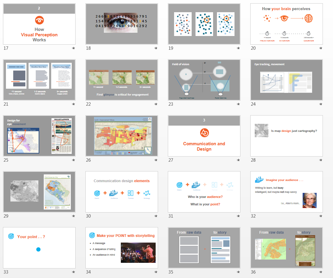
Visual Design Presentation
GreenInfo has long been supported by Esri, the leading GIS publisher, and its conservation program which donates ArcGIS software used heavily by GreenInfo. Ever year, Esri holds a major User Conference with over 15,000 GIS users, featuring hundreds of workshops and other learning sessions. Based on discussions between GreenInfo and Esri at the 2013 conference about the quality of maps being exhibited by users, Esri underwrote the development of a three part presentation series for 2014, co-created by GreenInfo and Esri staff which has been exhibited between the years 2014 to 2018.
Putting 10,000 school campuses on the map
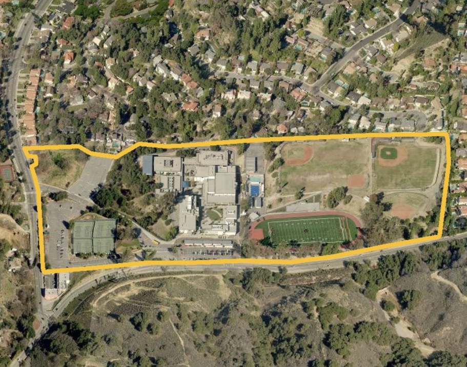
Schools should be safe spaces where kids can learn and thrive. Public health researchers have long studied the negative impacts of commercial tobacco sales and marketing near schools. But they were working from imprecise and often inaccurate maps until we created the California School Campus Database.

Mapping California’s public lands
Before GreenInfo created the California Protected Areas Database, there was no single source of data about protected lands in California. Now, the database has become a national model and a foundation for a huge range of conservation and park equity work.
3D illustration map of fire history in Pt. Reyes National Seashore
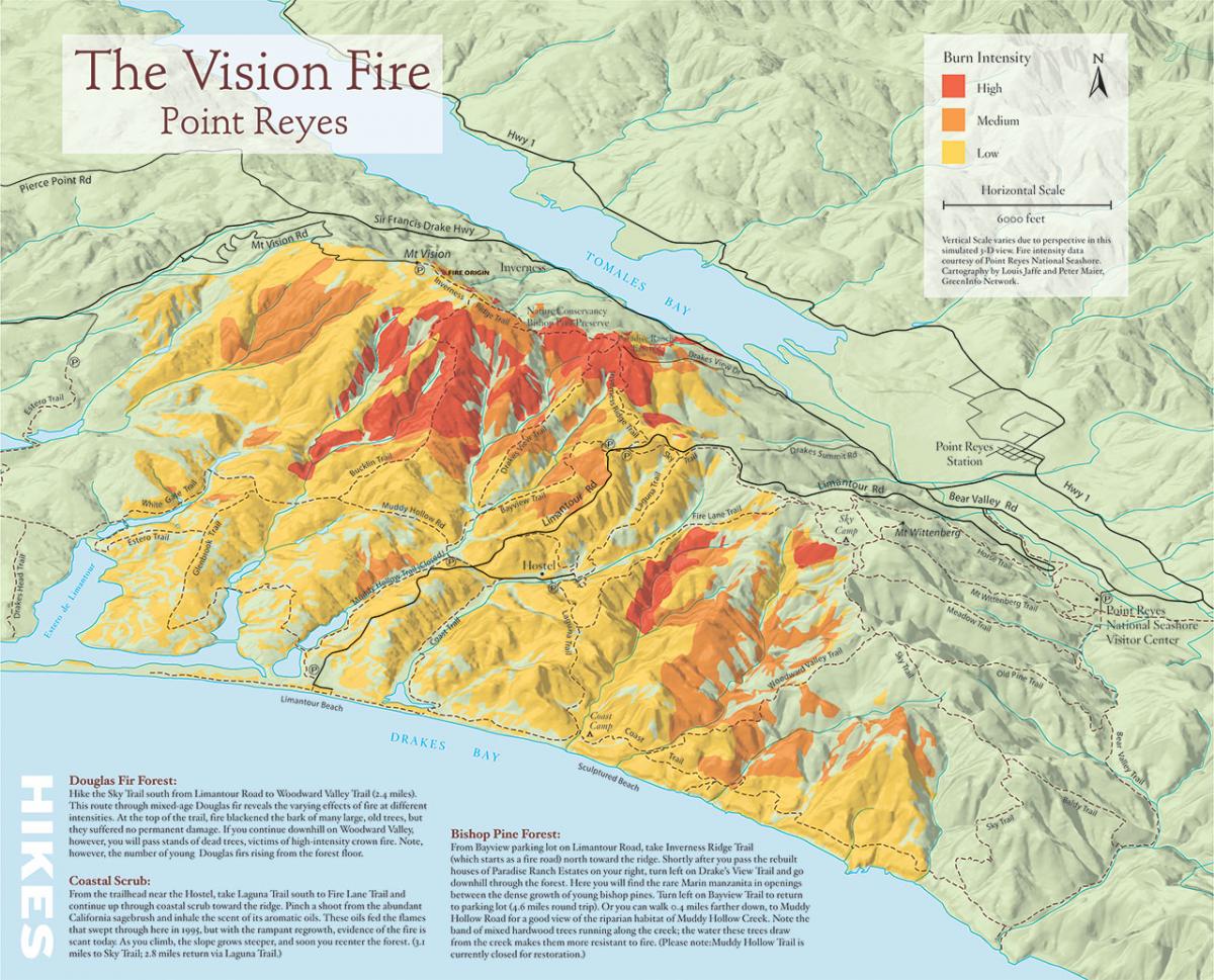
In 2005, Greeninfo partnered with Bay Nature magazine prepare an 11"x17" map to illustrate a story on the changes that have occurred since a major fire in the Pt. Reyes National Seashore.
Read more about 3D illustration map of fire history in Pt. Reyes National Seashore