Mapping Wildlife Crossings in San Jose
Santa Clara Valley Open Space Authority
GreenInfo team: Maegan Leslie Torres
Project years: 2018
Tags: Conservation Environment GIS Services Government Agencies
Overview
What challenges is this project trying to solve?
- Coyote Valley is a wildlife corridor which bisects several roads and highways, and collisions between cars and wildlife are a constant concern.
What were the client’s objectives?
- To plot the records of collisions within the area to better understand the concentration of collisions.
Results
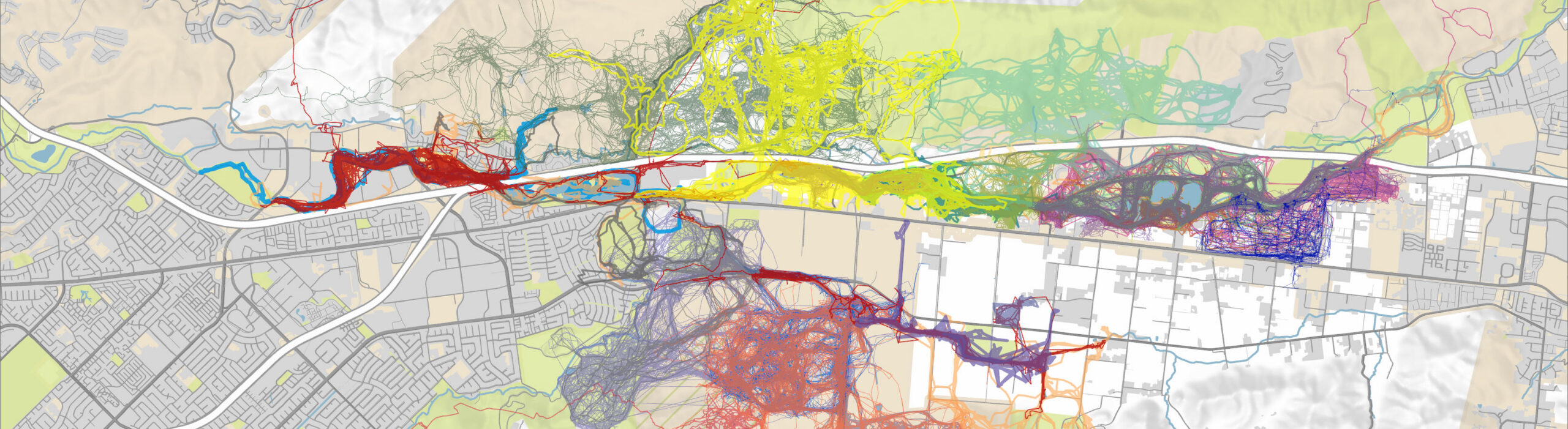
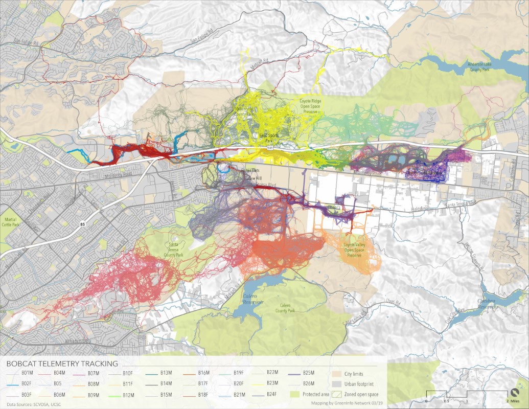
- We made maps plotting telemetry data from bobcats, using thousands of data points to give a rich view of their movements and habits. and documented roadkill locations so that planners could identify priority areas.
The Work
Background
Coyote Valley south of San José is a key habitat connector between coastal and inland habitats. It’s also bisected by Highway 101, Monterey Road, and a number of other streets. So collisions between cars and wildlife are a constant concern. We developed a series of maps for new new report and recommendations developed by the Peninsula Open Space Trust and a consortium of other land trusts and local agencies.
The study focuses on Monterey Road where there’s a significant amount of roadkill in that area, since it is a main thoroughfare in the area.
Approach
Greeninfo made maps plotting telemetry data from bobcats, using thousands of data points to give a rich view of their movements and habits. Using documented roadkill locations, we divide the road into segments with roadkill counts per 1,000 feet so planners could identify priority regions.
All maps were developed with ArcGIS Pro.