Portfolio
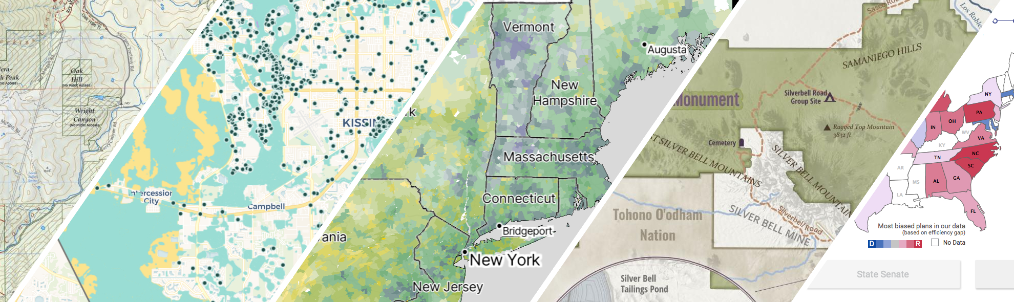
GreenInfo works on both a wide range of projects in the public interest and across many disciplines. We offer information design, cartographic, web design, design research, and accessibility services to partners working in conservation, social and environmental justice, public health, voting rights and democracy.
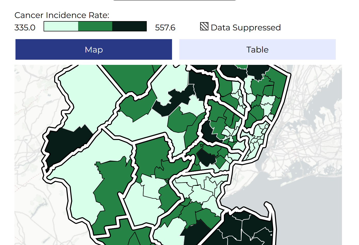
Making New Jersey’s cancer map more accessible
GreenInfo Network helped the New Jersey State Cancer Registry make its interactive cancer map more accessible, with clearer controls, stronger visual contrast, and new ways to explore data beyond the map. Building on a mapping platform we developed several years earlier, we refreshed the interface, added alternatives to visual displays, and expanded the data people can explore.
Read more about Making New Jersey’s cancer map more accessible
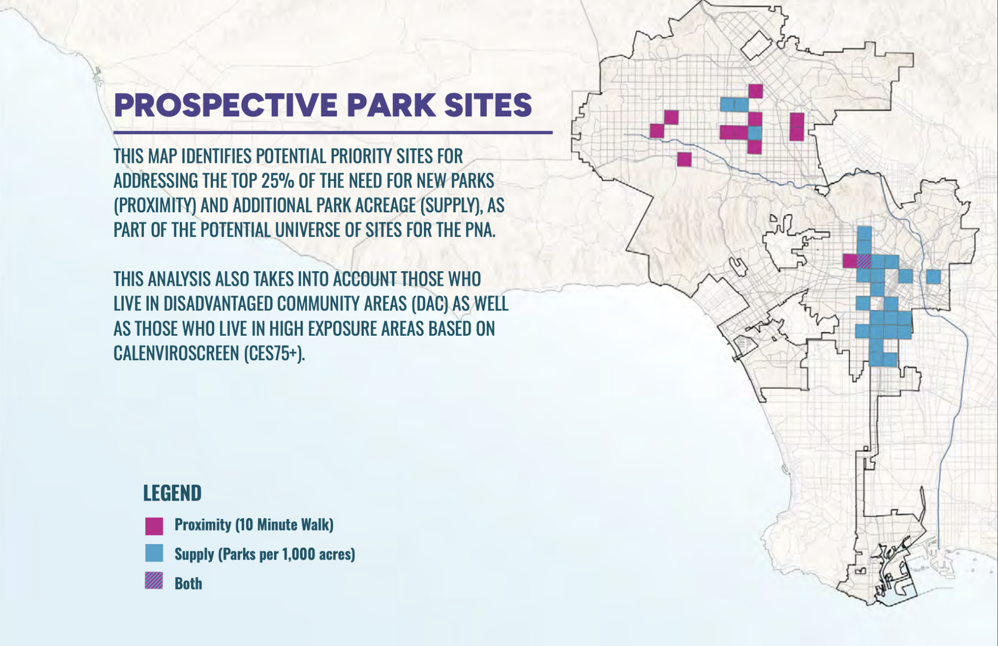
PerSquareMile data supports first park needs assessment in Los Angeles since 2009
In early 2025, the City of Los Angeles undertook its first Park Needs Assessment since 2009. GreenInfo joined the team to help determine where new parks would have the most impact. We developed the PerSquareMile tool with UCLA to select 36 locations where new parks would most benefit people who lack park access.
Read more about PerSquareMile data supports first park needs assessment in Los Angeles since 2009
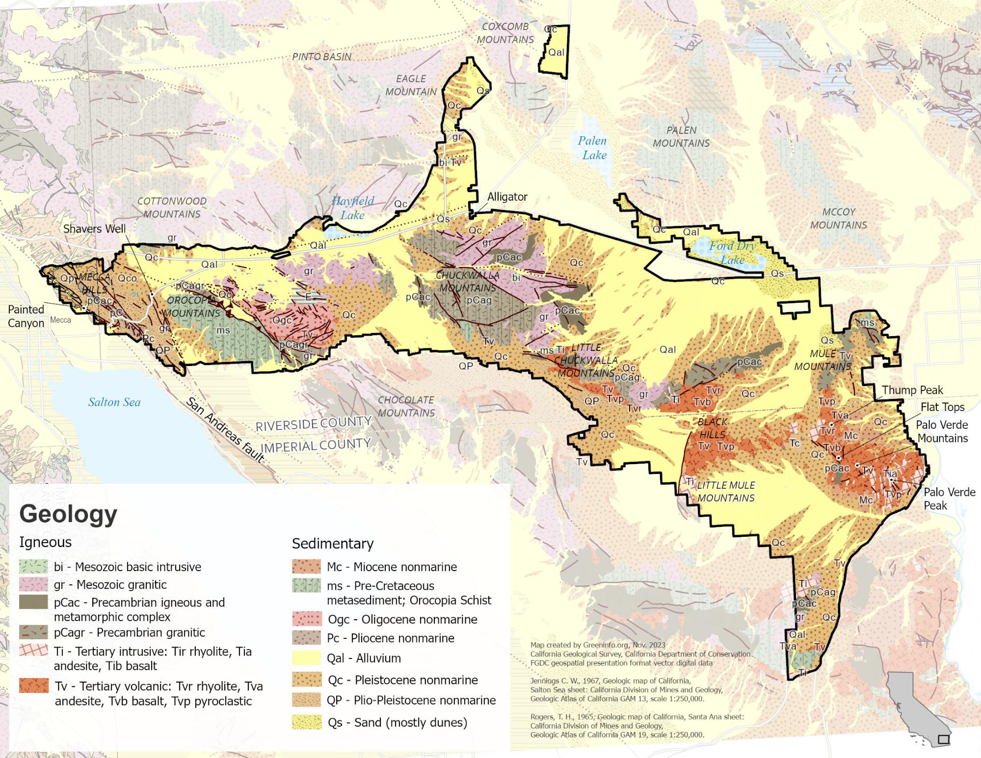
Mapping to Make Monuments
Our work with Tribes and conservation advocates in California was an essential part of campaigns that led to the designation of two new national monuments: Sattitla Highlands and Chuckwalla.
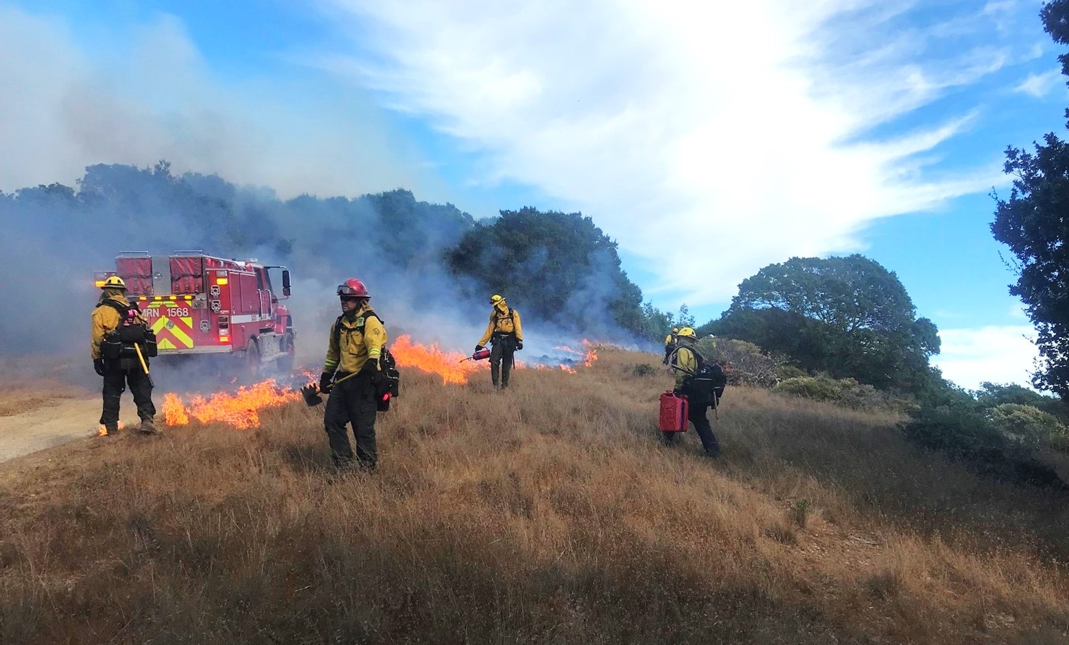
Reducing Wildfire in Marin County
Wildfire is a fact of life in California. In 2000, Marin County residents voted to fund a new agency, the Marin Wildfire Prevention Authority, to chart a path to a fire-resilient future. We helped them build a mapping and data program to track their progress.
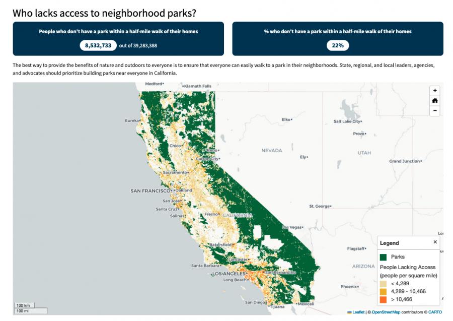
Equitable park access research project
The Equitable Outdoor Access Research Project uses public data to map people and public parks and open spaces across six states (Arizona, California, Georgia, Montana, New Mexico and Washington). Across those states, we found that nearly 23 million people don’t have a neighborhood park within a 10-minute walk from their homes.
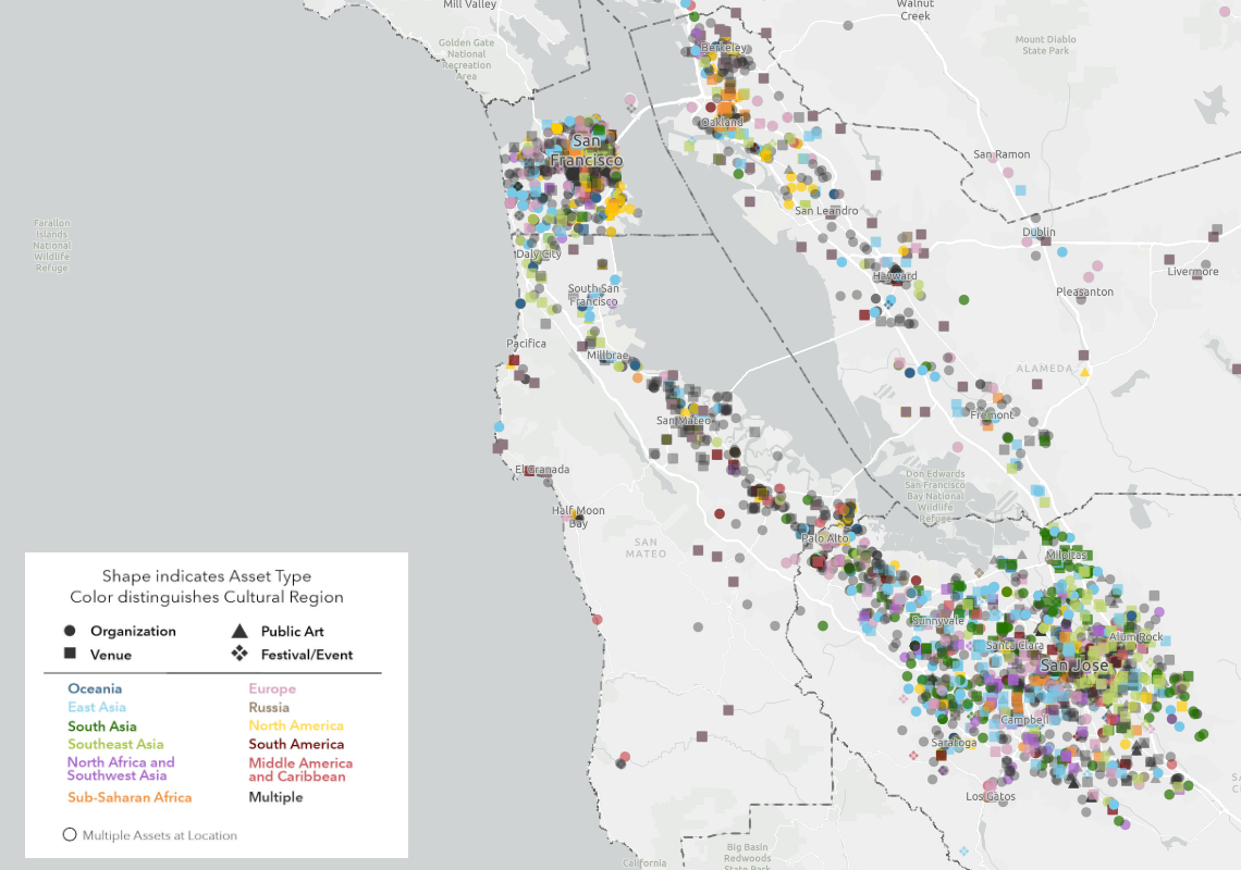
Mapping the Mosaic America atlas
The Mosaic Atlas is a project created by Mosaic America and San Jose State University to highlight culturally significant sites across the San Francisco Bay Area. Mosaic America came to Greeninfo to help visualize these locations on an interactive map,
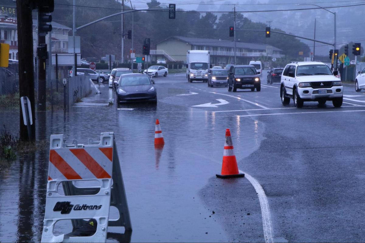
Helping transportation planners adapt to sea level rise
San Francisco Bay Area roads are at risk from sea level rise. In Marin County, major highways often run on low-lying lands that were once marshes. Marin County’s Public Works Department wanted to provide data about sea level rise to planners and engineers who work on road projects. GreenInfo Network and Tom Robinson Consulting built Marin County’s Resilient Roads application for that purpose.
Read more about Helping transportation planners adapt to sea level rise

Intertidal Strategies design research
The California Department of Fish and Wildlife (CDFW) manages California’s diverse fish resources and habitats. One way the department collects data is the fishery logbook, a form where people record catches or attempts for specific fish species. Greeninfo was contacted by Intertidal Strategies, who partnered with CDFW in creating a more efficient logbook entry platform.
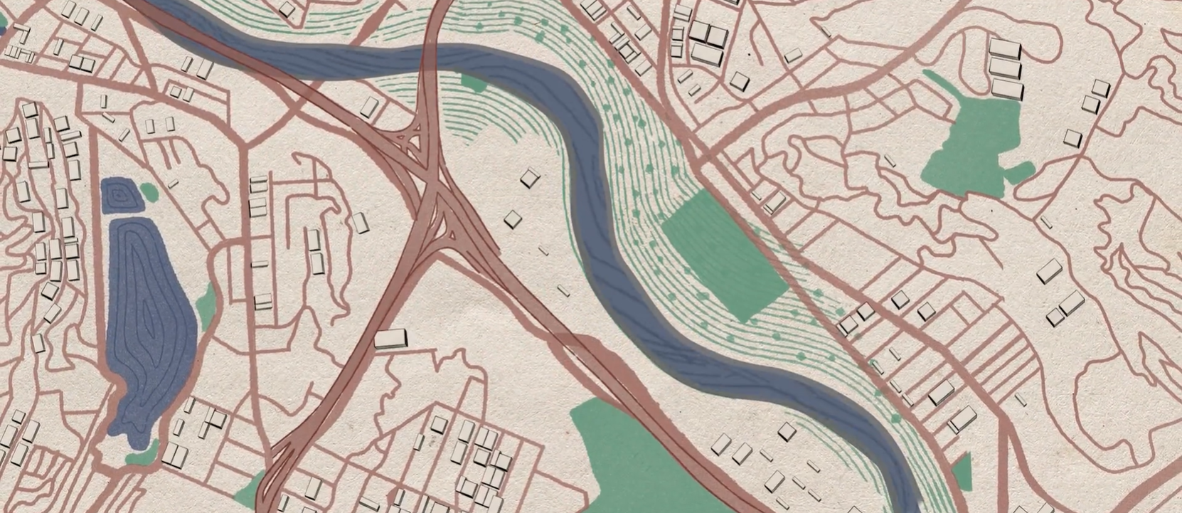
A cultural atlas of the LA River
Take Me to Your River: A Cultural Atlas of the LA River is a three-year project initiated by the Los Angeles-based arts organization Clockshop with a mapping component done in collaboration with Greeninfo Network.
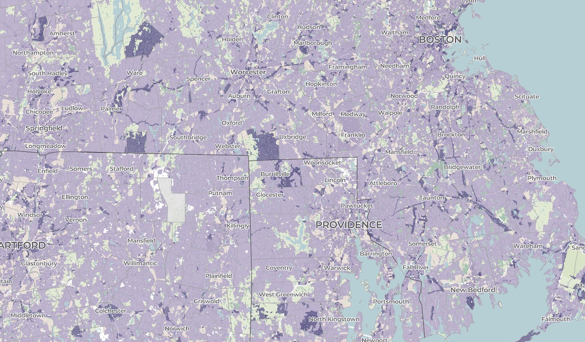
A crowdsourced zoning map for the nation
Zoning laws dictate much of what can be built in communities across the United States. But the details of the laws are often locked in lengthy and complicated PDF documents. The National Zoning Atlas crowdsources these incredibly influential laws by depicting their key attributes in an online, user-friendly map.