Portfolio
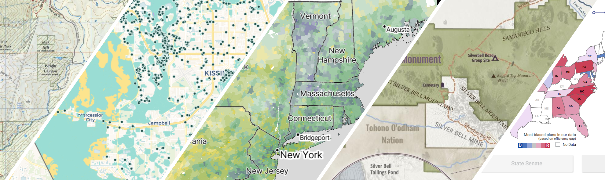
GreenInfo works on both a wide range of projects in the public interest and across many disciplines. We offer information design, cartographic, web design, design research, and accessibility services to partners working in conservation, social and environmental justice, public health, voting rights and democracy.
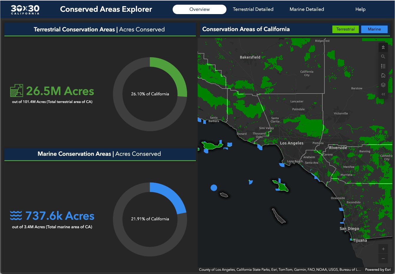
Conserving 30% of California by 2030
GreenInfo Network is the data partner for California's efforts to conserve 30% of its lands by 2030. We work closely with the state Natural Resources Agency to gather, process, and publish the data California uses to track progress toward this major milestone.
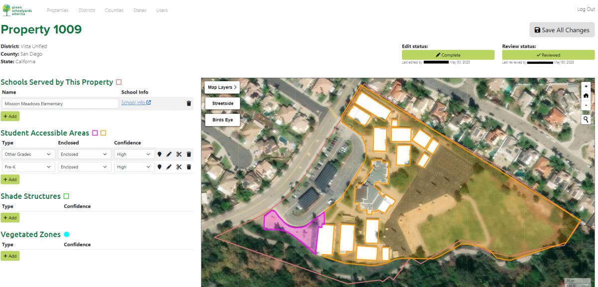
Analyzing tree canopy in schoolyards
Green Schoolyards America (GSA) seeks to transform asphalt-covered school grounds into park-like green spaces that improve children’s well-being, learning, and play while contributing to their communities' ecological health and climate resilience. GreenInfo Network began working with GSA back in 2022 to support their goals in this work by mapping tree canopy coverage in child-accessible areas in California school grounds.
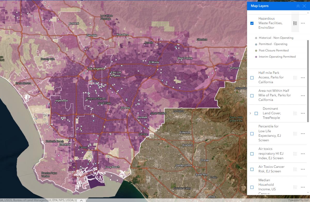
Powerbuilding with Maps
Prevention Institute’s People, Parks, and Power (P3) is the first national funding initiative in the U.S. to support powerbuilding by community-based organizations to reverse deep seated park and green space inequities in Black, Latino, and Indigenous communities across the country. GreenInfo Network was brought in to assist with our mapping expertise.
Kelpwatch.org design and development
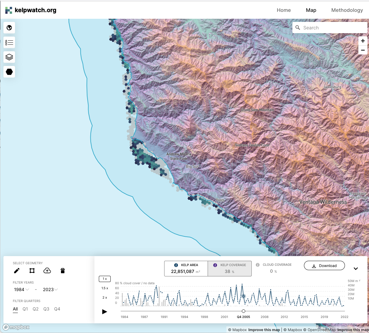
Working with academic and government partners, TNC staff had designed, built, and launched kelpwatch.org as an MVP demonstrating how earth observation data can be made actionable in California. They came to GreenInfo and we recruited help from our partners at Development Seed to grow the site into the world’s largest dynamic map of canopy-forming kelps.
Florida green stormwater infrastructure photo library
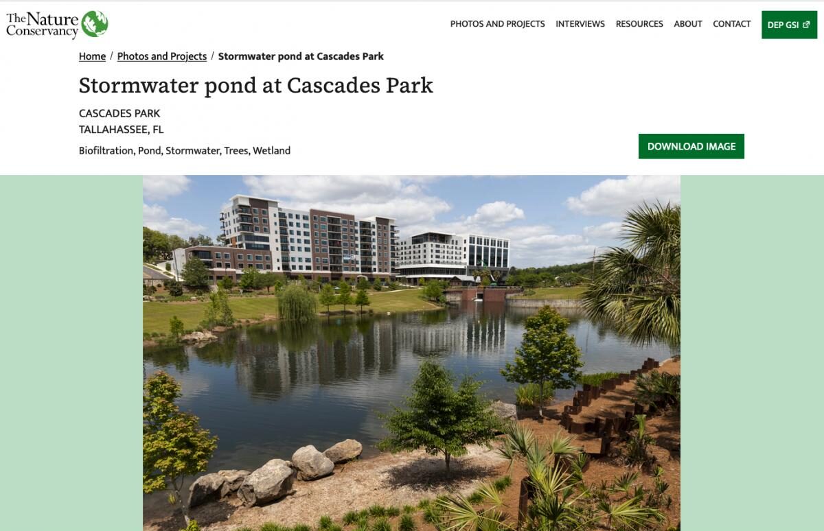
TNC Florida parterned with Greeninfo to create an interactive library that advocates for and showcases the positive impacts of Green Stormwater Infrastructures with concrete examples that make the case for more sustainable stormwater management Resulting from this work is a public website that includes a photo search and project search, along with key facts about each project with the purpose of educating and promoting Green Stormwater Infrastructures.
Read more about Florida green stormwater infrastructure photo library
Showcasing Important Migration Routes
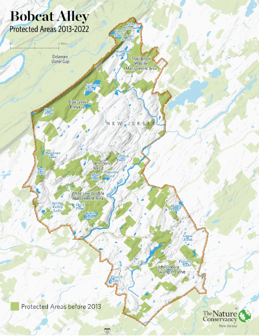
Within New Jersey is Bobcat Alley, a 96,000 acre wildlife corridor managed by The Nature Conservancy New Jersey to assist in the recovery of the bobcat population. TNC NJ partnered with Greeninfo Network to create a set of maps whose purpose was to (1) promote Bobcat Alley and (2) to visually map the migration routes of bobcats within the area.
Updating Maps and Creating GIS Best Practices
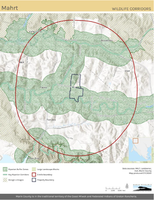
Back in 2022, Marin Resource Conservation District (RCD) worked with GIN in developing and implementing a robust new GIS system. Over several months we did monthly training for ArcGIS Pro and data management. Collaboratively we consolidated and updated existing data into organized geodatabases.
Read more about Updating Maps and Creating GIS Best Practices

Guiding $1.5 billion for equitable park access
California voters have often supported bond measures to help build local parks. The Department of Parks and Recreation is charged with distributing those funds. We created parksforcalifornia.org to showcase that work. It also hosts tools that make it easier for local park advocates to apply for funding, and for the state to ensure those funds are equitably distributed.
Read more about Guiding $1.5 billion for equitable park access
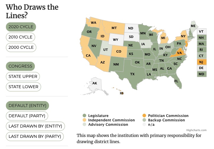
All About Redistricting
Every 10 years, the geographic boundaries that define our democracy are redrawn. It’s an obscure but very important process. And it can be done fairly — or not. Legal Scholar Justin Levitt is a nationally known expert on redistricting, and we helped create the online home of his All About Redistricting project.
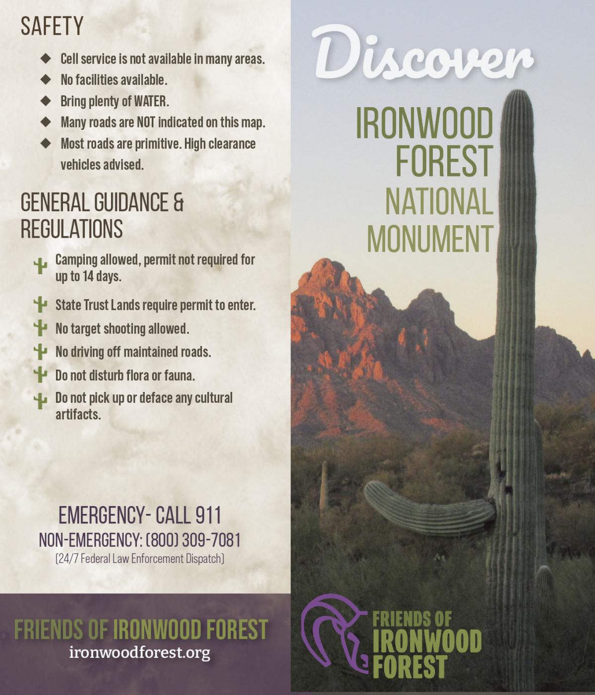
Discover Ironwood Forest National Monument
Friends of Ironwood Forest is a local non-profit organization that works for the permanent protection of the biological, geological, archaeological, and historical resources and values for which the Ironwood Forest National Monument was established. GreenInfo Network was excited to partner with Friends of Ironwood Forest to help increase public awareness about Ironwood Forest via updating the Ironwood Forest National Monument map and overall informational brochure.