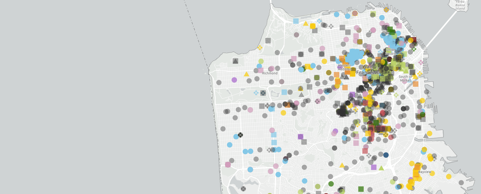
Mapping the Mosaic America atlas
Mosaic America
GreenInfo team: Maegan Leslie Torres
Project years: 2023-2024
Tags: Economic Development Education Government Agencies Human Services Interactive Solutions Philanthropy Public Health Recreation Social Justice/Equity Web Mapping
Overview
What challenges is this project trying to solve?
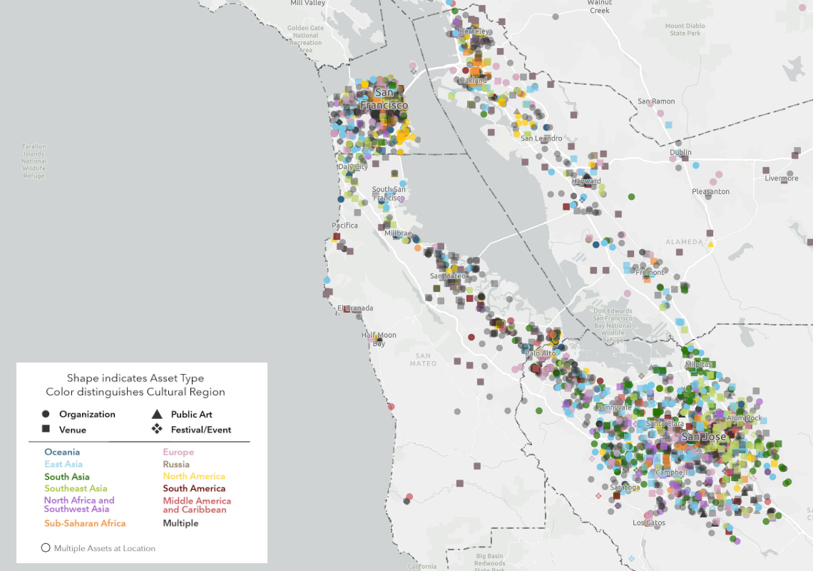
- The San Francisco Bay Area is full of diverse stories and understanding the scale at which these cultural spaces occupy can be difficult.
- Access to cultural stories may be difficult due to lack of access and/or resources that document these experiences
What were the client’s objectives?
- To create an interactive website that allows users to discover various cultural sites throughout the Bay Area
- To educate the public about the various diverse and p
Results
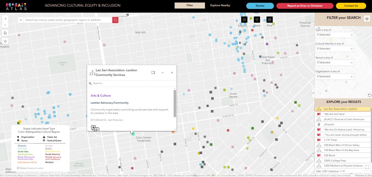
- The result of this partnership is the 'Explorer' tool on Mosaic Atlas' website that allows users to explore cultural sites throughout the Bay Area
The Work
Background
Mosaic America and San Jose State University teamed up to collect information about culturally significant places across the San Francisco Bay Area and together created a project called the Mosaic Atlas. Mosaic America came to Greeninfo Network to help visualize the data and assets that they collected, and to to update the data to geospatial formats.