Portfolio
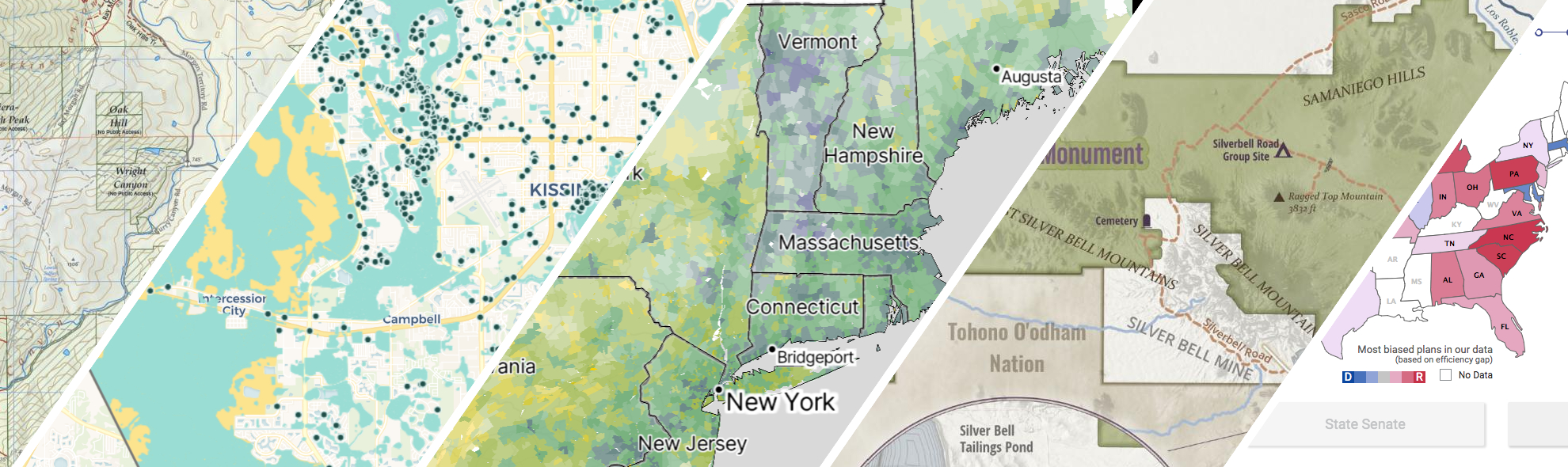
GreenInfo works on both a wide range of projects in the public interest and across many disciplines. We offer information design, cartographic, web design, design research, and accessibility services to partners working in conservation, social and environmental justice, public health, voting rights and democracy.
Expanded portfolio
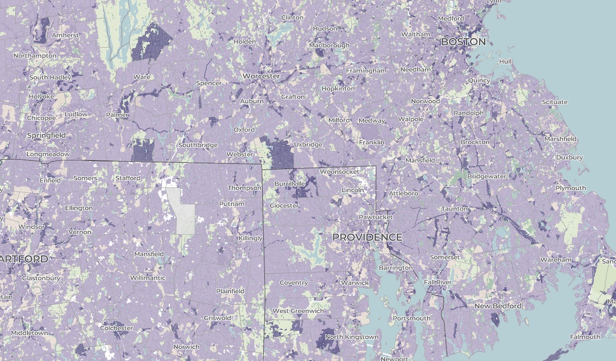
A crowdsourced zoning map for the nation
Zoning laws dictate much of what can be built in communities across the United States. But the details of the laws are often locked in lengthy and complicated PDF documents. The National Zoning Atlas crowdsources these incredibly influential laws by depicting their key attributes in an online, user-friendly map.
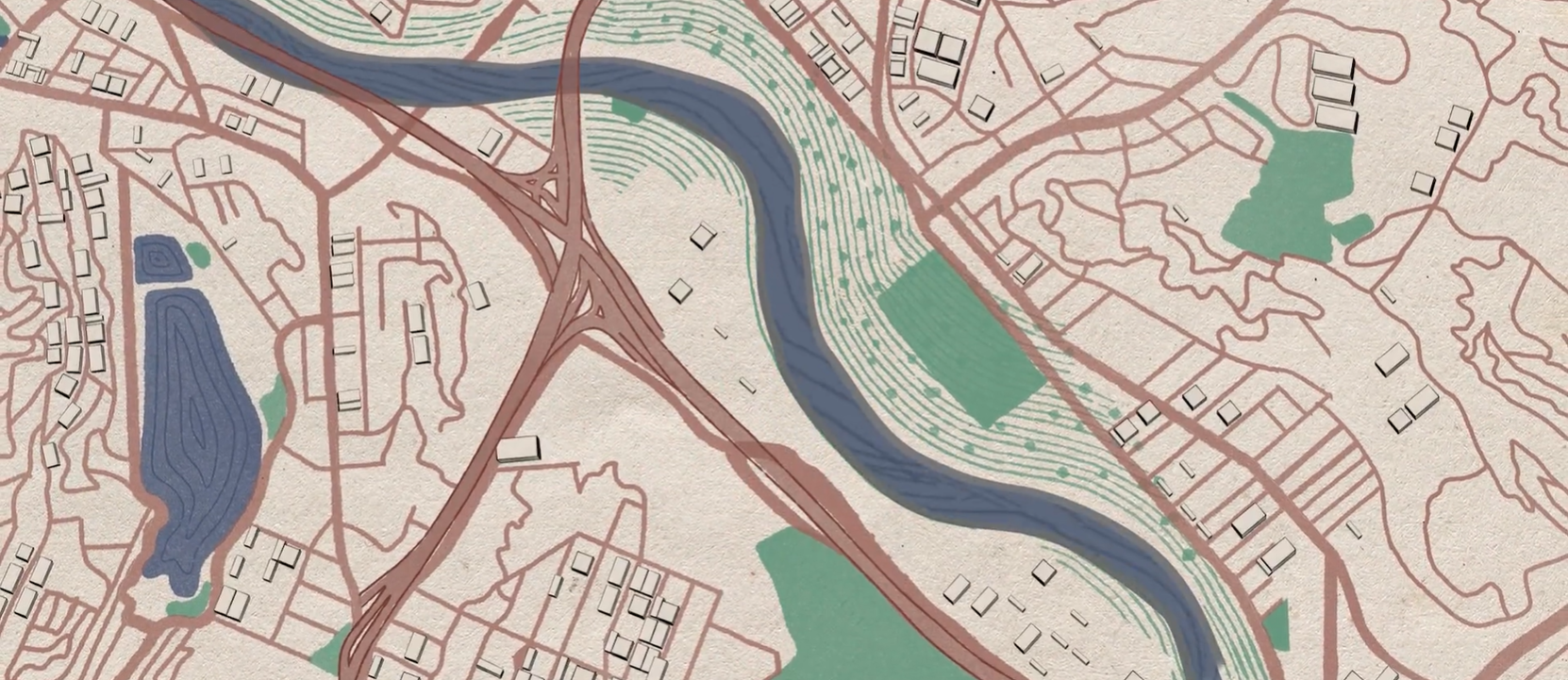
A cultural atlas of the LA River
Take Me to Your River: A Cultural Atlas of the LA River is a three-year project initiated by the Los Angeles-based arts organization Clockshop with a mapping component done in collaboration with Greeninfo Network.
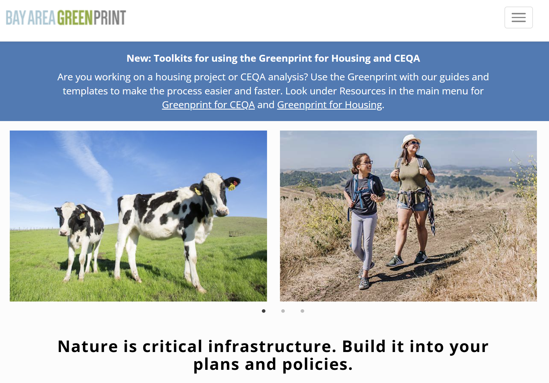
Bay Area Greenprint application
Bay Area Greenprint is a multi-year collaborative project created for TNC California alongside help from TOGETHER Bay Area, Greenbelt Alliance, and the American Farmland Trust California. It has grown into a website which provides a series of tools for reporting and analyzing various environmental factors across the Bay Area region.
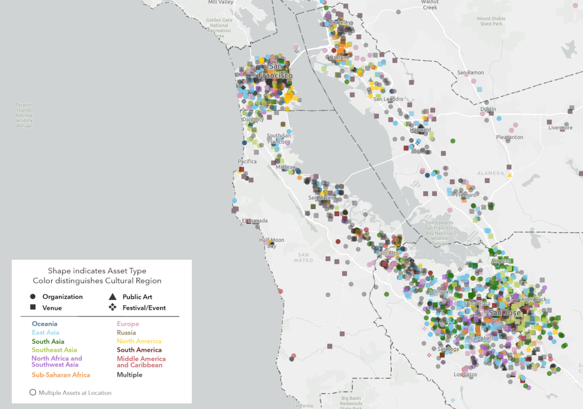
Mapping the Mosaic America atlas
The Mosaic Atlas is a project created by Mosaic America and San Jose State University to highlight culturally significant sites across the San Francisco Bay Area. Mosaic America came to Greeninfo to help visualize these locations on an interactive map,
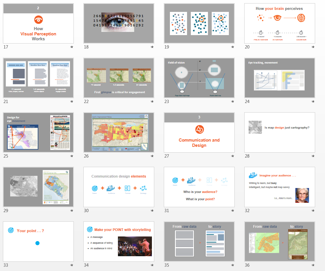
Visual Design Presentation
GreenInfo has long been supported by Esri, the leading GIS publisher, and its conservation program which donates ArcGIS software used heavily by GreenInfo. Ever year, Esri holds a major User Conference with over 15,000 GIS users, featuring hundreds of workshops and other learning sessions. Based on discussions between GreenInfo and Esri at the 2013 conference about the quality of maps being exhibited by users, Esri underwrote the development of a three part presentation series for 2014, co-created by GreenInfo and Esri staff which has been exhibited between the years 2014 to 2018.