Portfolio
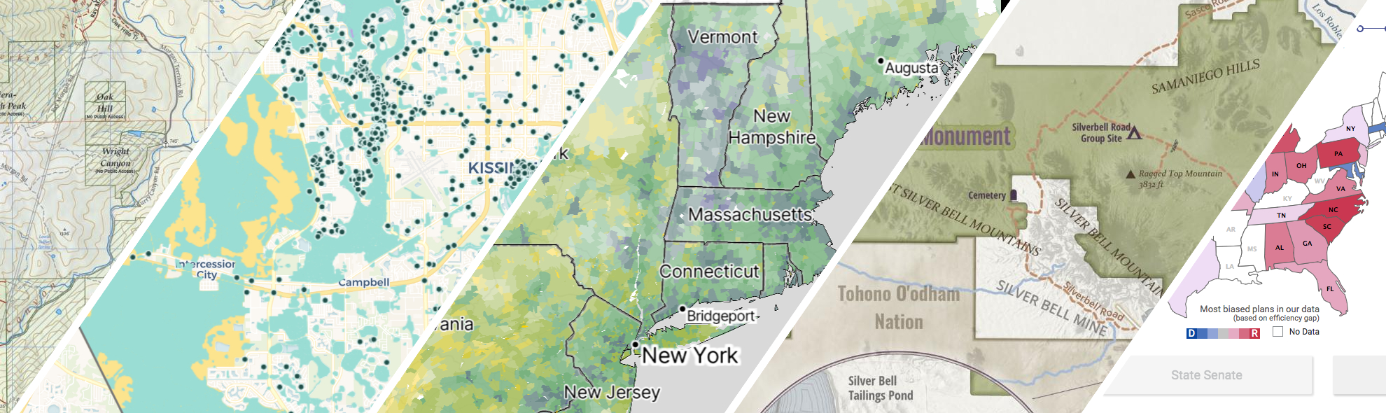
GreenInfo works on both a wide range of projects in the public interest and across many disciplines. We offer information design, cartographic, web design, design research, and accessibility services to partners working in conservation, social and environmental justice, public health, voting rights and democracy.
Expanded portfolio
Equitable park access research project
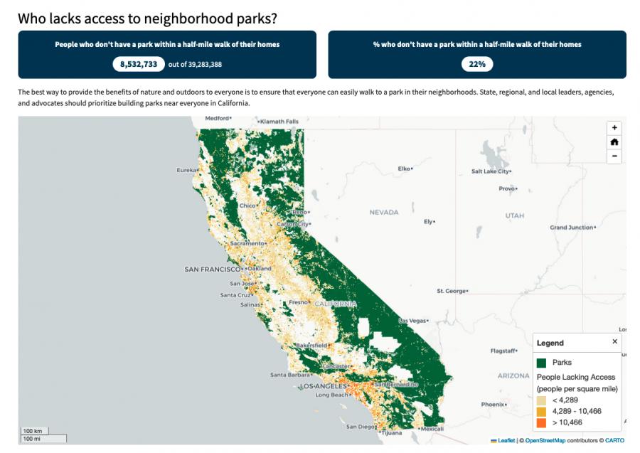
The Equitable Outdoor Access Research Project uses public data to map people and public parks and open spaces across six states (Arizona, California, Georgia, Montana, New Mexico and Washington). Across those states, we found that nearly 23 million people don’t have a neighborhood park within a 10-minute walk from their homes.
Mapping the Mosaic America atlas
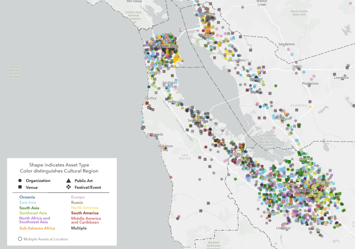
The Mosaic Atlas is a project created by Mosaic America and San Jose State University to highlight culturally significant sites across the San Francisco Bay Area. Mosaic America came to Greeninfo to help visualize these locations on an interactive map,
Putting 10,000 school campuses on the map
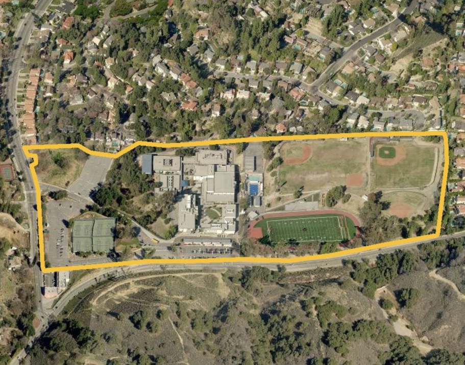
Schools should be safe spaces where kids can learn and thrive. Public health researchers have long studied the negative impacts of commercial tobacco sales and marketing near schools. But they were working from imprecise and often inaccurate maps until we created the California School Campus Database.