Portfolio
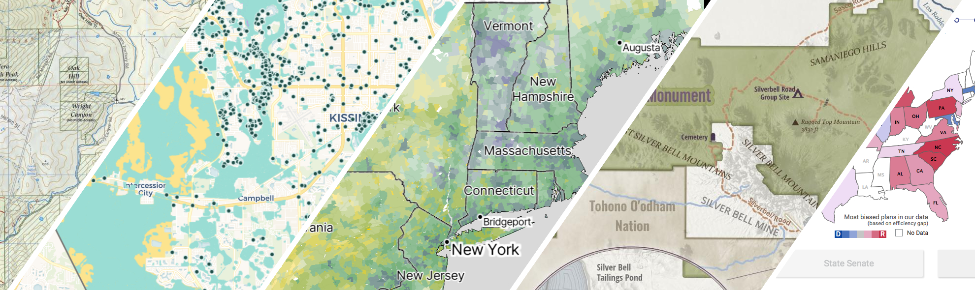
GreenInfo works on both a wide range of projects in the public interest and across many disciplines. We offer information design, cartographic, web design, design research, and accessibility services to partners working in conservation, social and environmental justice, public health, voting rights and democracy.
Expanded portfolio
A crowdsourced zoning map for the nation
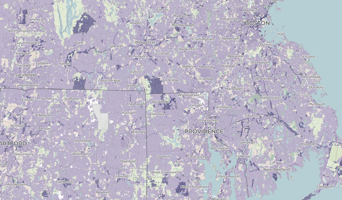
Zoning laws dictate much of what can be built in communities across the United States. But the details of the laws are often locked in lengthy and complicated PDF documents. The National Zoning Atlas crowdsources these incredibly influential laws by depicting their key attributes in an online, user-friendly map.
All About Redistricting
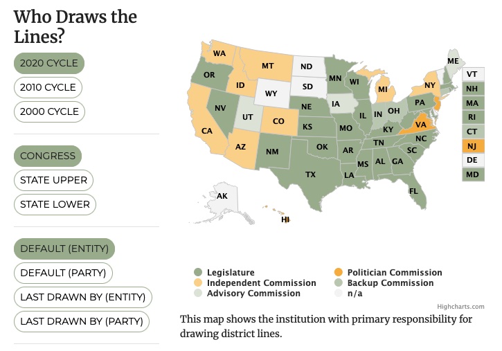
Every 10 years, the geographic boundaries that define our democracy are redrawn. It’s an obscure but very important process. And it can be done fairly — or not. Legal Scholar Justin Levitt is a nationally known expert on redistricting, and we helped create the online home of his All About Redistricting project.
Bay Area Greenprint application
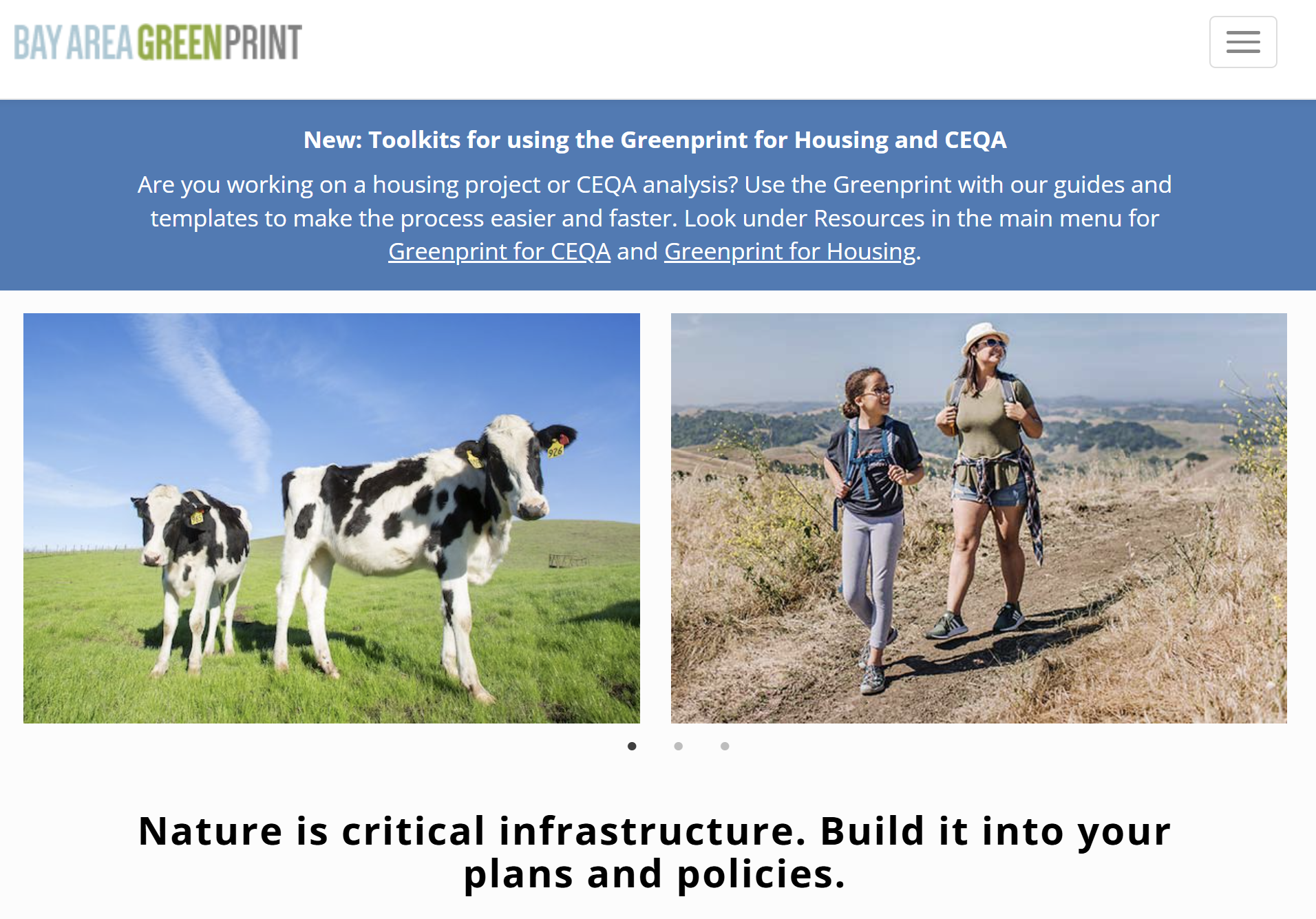
Bay Area Greenprint is a multi-year collaborative project created for TNC California alongside help from TOGETHER Bay Area, Greenbelt Alliance, and the American Farmland Trust California. It has grown into a website which provides a series of tools for reporting and analyzing various environmental factors across the Bay Area region.
Conservation Lands Network 2.0
Conservation Lands Network 2.0 is a long-term regional strategy and framework to set goals, provide tools, and catalyzes on-the-ground land conservation in the Bay Area. Working closely with TOGETHER Bay Area (formerly the Bay Area Open Space Council), Greeninfo Network worked to completely update and relaunch the Conservation Lands Network and associated web tools. This foundational dataset has been a key guide for regional conservation funding and habitat protection for more than a decade. The update included a complete rerunning of the underlying analysis from 1.0, alongside an extensive reimagining of the online Explorer tool and the Conservation Portfolio report.
Discover Ironwood Forest National Monument
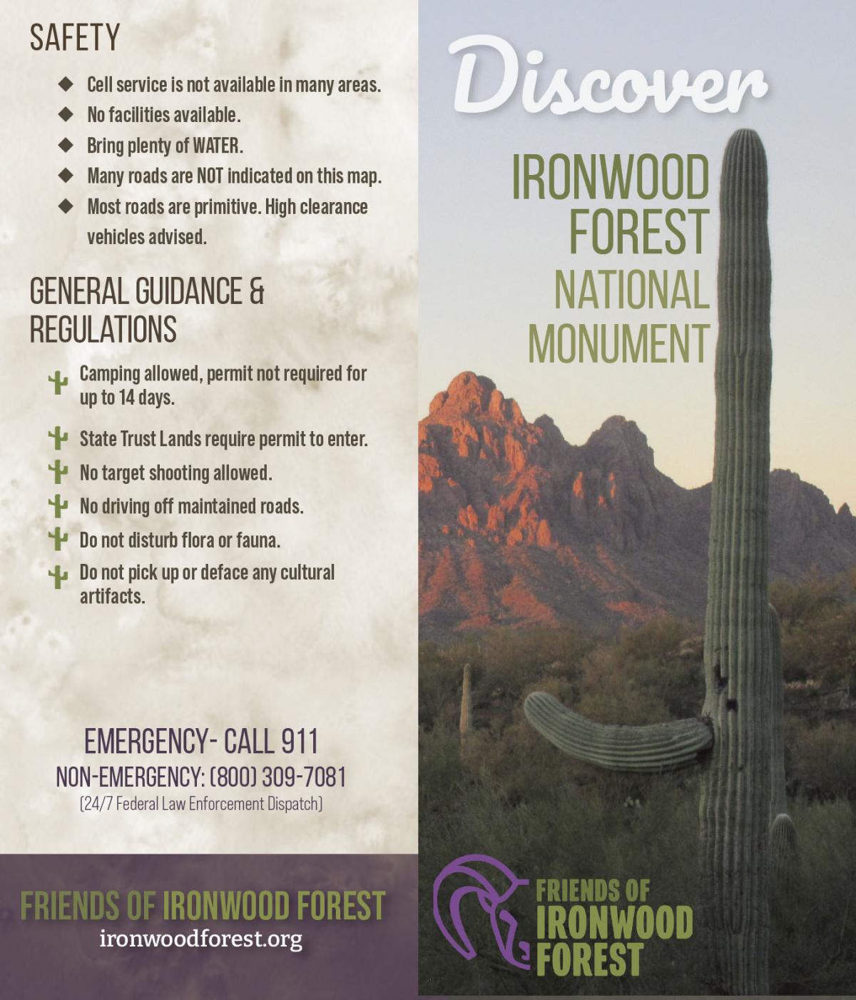
Friends of Ironwood Forest is a local non-profit organization that works for the permanent protection of the biological, geological, archaeological, and historical resources and values for which the Ironwood Forest National Monument was established. GreenInfo Network was excited to partner with Friends of Ironwood Forest to help increase public awareness about Ironwood Forest via updating the Ironwood Forest National Monument map and overall informational brochure.

Intertidal Strategies design research
The California Department of Fish and Wildlife (CDFW) manages California’s diverse fish resources and habitats. One way the department collects data is the fishery logbook, a form where people record catches or attempts for specific fish species. Greeninfo was contacted by Intertidal Strategies, who partnered with CDFW in creating a more efficient logbook entry platform.
Kelpwatch.org design and development
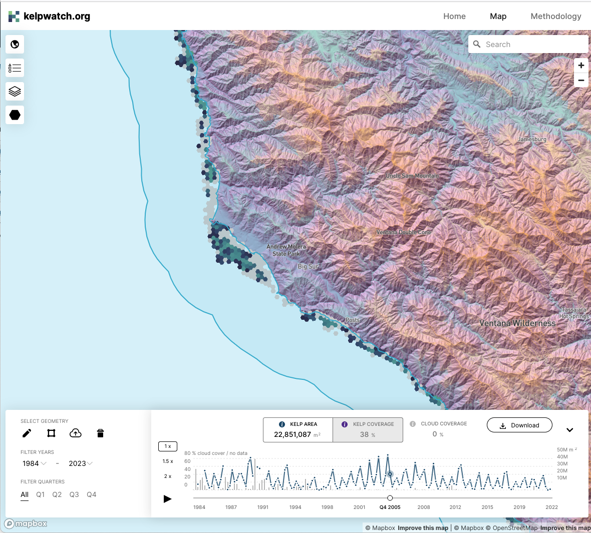
Working with academic and government partners, TNC staff had designed, built, and launched kelpwatch.org as an MVP demonstrating how earth observation data can be made actionable in California. They came to GreenInfo and we recruited help from our partners at Development Seed to grow the site into the world’s largest dynamic map of canopy-forming kelps.

Mapping California’s public lands
Before GreenInfo created the California Protected Areas Database, there was no single source of data about protected lands in California. Now, the database has become a national model and a foundation for a huge range of conservation and park equity work.
Mapping the Mosaic America atlas
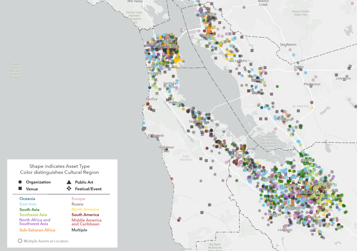
The Mosaic Atlas is a project created by Mosaic America and San Jose State University to highlight culturally significant sites across the San Francisco Bay Area. Mosaic America came to Greeninfo to help visualize these locations on an interactive map,
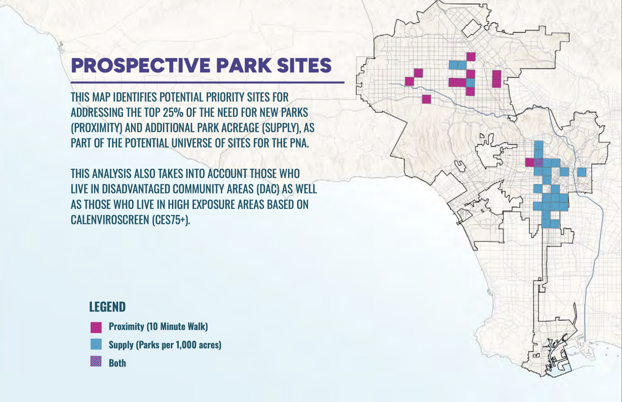
PerSquareMile data supports first park needs assessment in Los Angeles since 2009
In early 2025, the City of Los Angeles undertook its first Park Needs Assessment since 2009. GreenInfo joined the team to help determine where new parks would have the most impact. We developed the PerSquareMile tool with UCLA to select 36 locations where new parks would most benefit people who lack park access.
Read more about PerSquareMile data supports first park needs assessment in Los Angeles since 2009