Portfolio
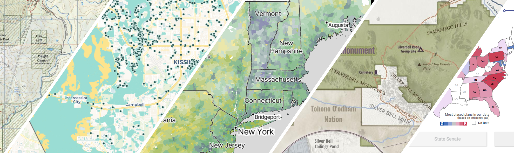
GreenInfo works on both a wide range of projects in the public interest and across many disciplines. We offer information design, cartographic, web design, design research, and accessibility services to partners working in conservation, social and environmental justice, public health, voting rights and democracy.
Expanded portfolio
A crowdsourced zoning map for the nation
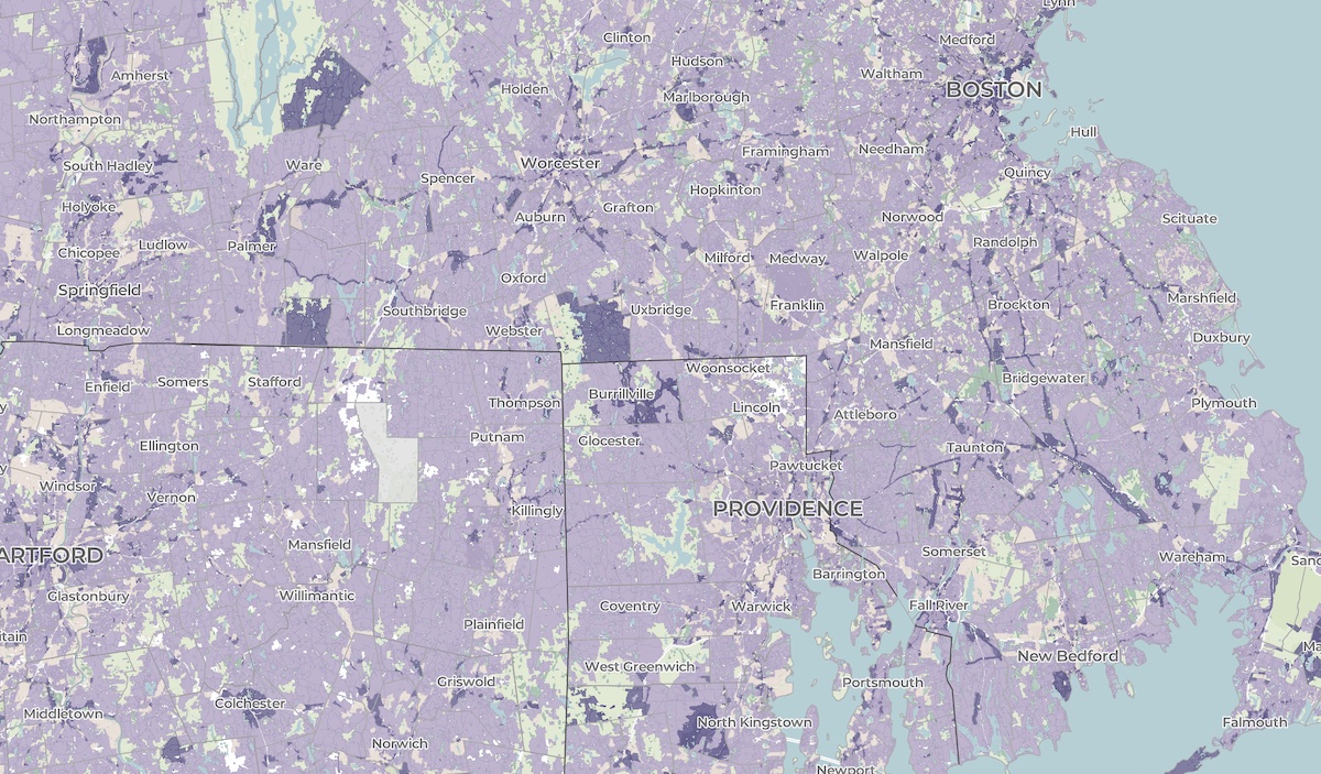
Zoning laws dictate much of what can be built in communities across the United States. But the details of the laws are often locked in lengthy and complicated PDF documents. The National Zoning Atlas crowdsources these incredibly influential laws by depicting their key attributes in an online, user-friendly map.
A cultural atlas of the LA River
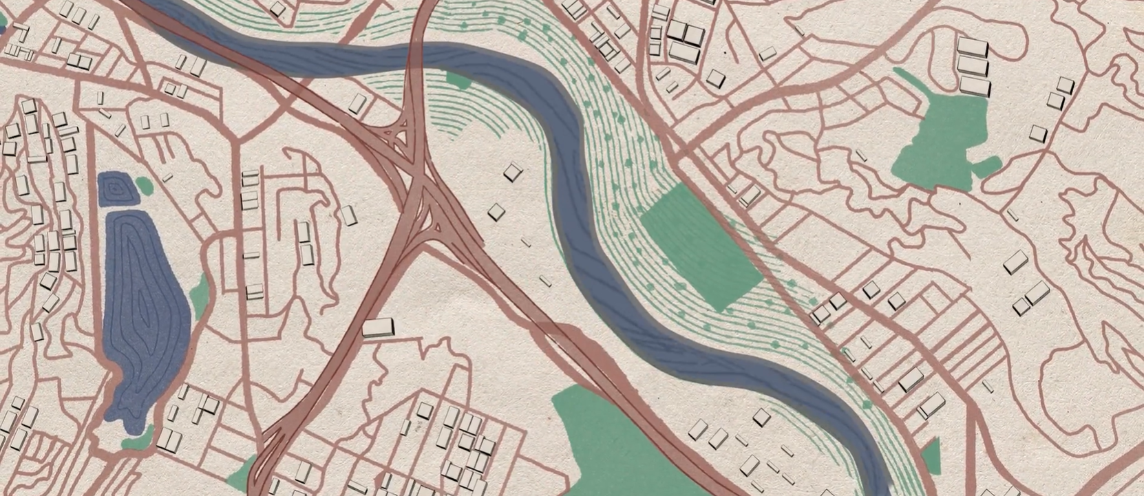
Take Me to Your River: A Cultural Atlas of the LA River is a three-year project initiated by the Los Angeles-based arts organization Clockshop with a mapping component done in collaboration with Greeninfo Network.
All About Redistricting
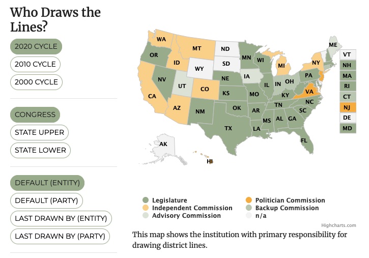
Every 10 years, the geographic boundaries that define our democracy are redrawn. It’s an obscure but very important process. And it can be done fairly — or not. Legal Scholar Justin Levitt is a nationally known expert on redistricting, and we helped create the online home of his All About Redistricting project.
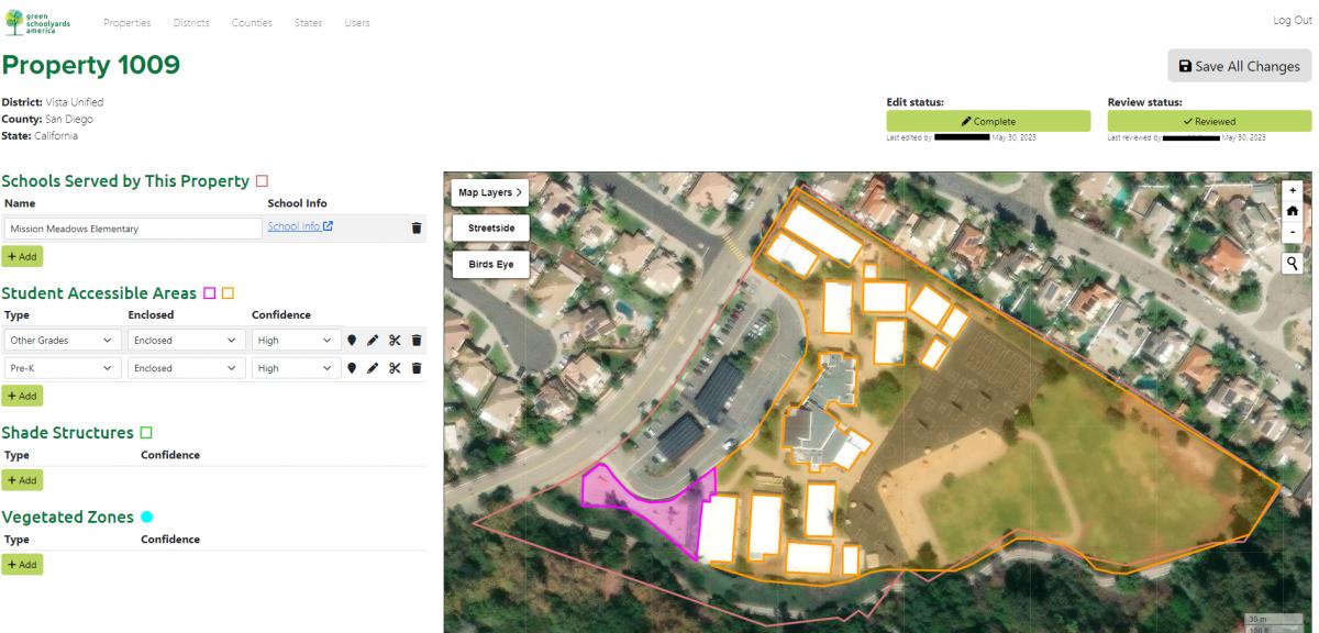
Analyzing tree canopy in schoolyards
Green Schoolyards America (GSA) seeks to transform asphalt-covered school grounds into park-like green spaces that improve children’s well-being, learning, and play while contributing to their communities' ecological health and climate resilience. GreenInfo Network began working with GSA back in 2022 to support their goals in this work by mapping tree canopy coverage in child-accessible areas in California school grounds.
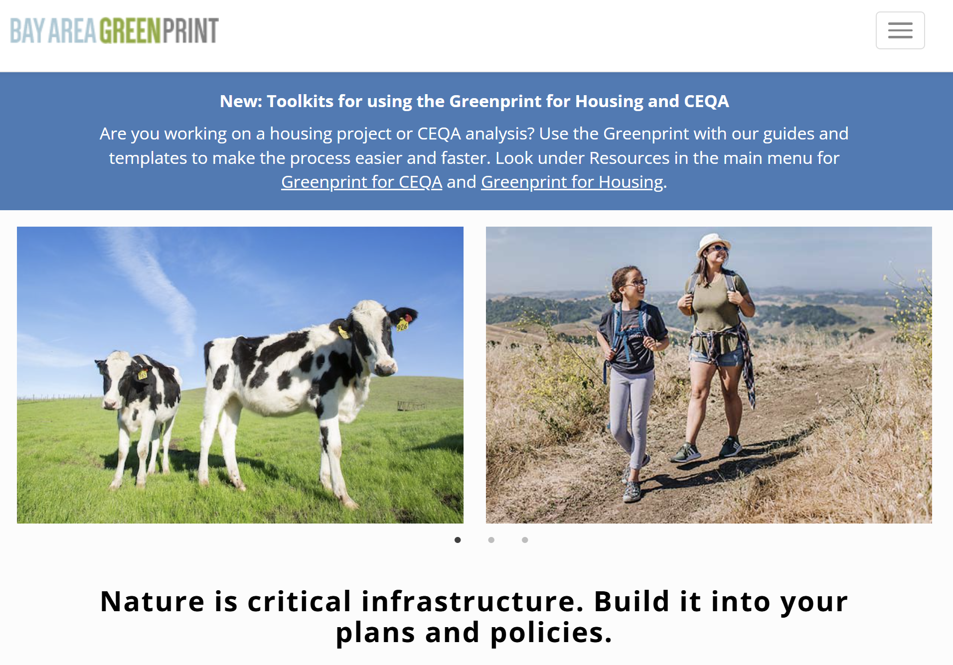
Bay Area Greenprint application
Bay Area Greenprint is a multi-year collaborative project created for TNC California alongside help from TOGETHER Bay Area, Greenbelt Alliance, and the American Farmland Trust California. It has grown into a website which provides a series of tools for reporting and analyzing various environmental factors across the Bay Area region.
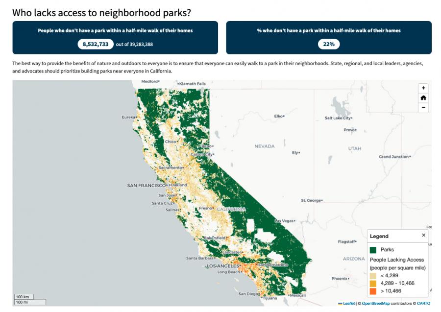
Equitable park access research project
The Equitable Outdoor Access Research Project uses public data to map people and public parks and open spaces across six states (Arizona, California, Georgia, Montana, New Mexico and Washington). Across those states, we found that nearly 23 million people don’t have a neighborhood park within a 10-minute walk from their homes.
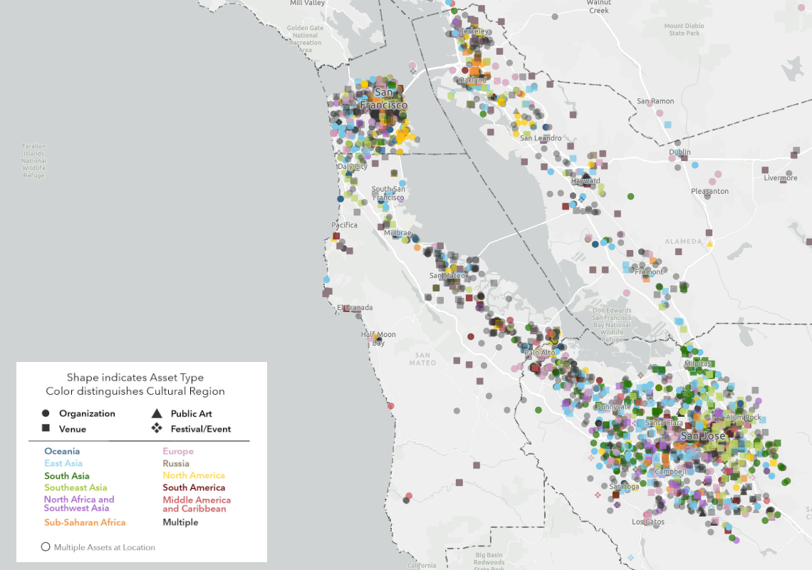
Mapping the Mosaic America atlas
The Mosaic Atlas is a project created by Mosaic America and San Jose State University to highlight culturally significant sites across the San Francisco Bay Area. Mosaic America came to Greeninfo to help visualize these locations on an interactive map,
Mapping the resilient Northern Great Plains
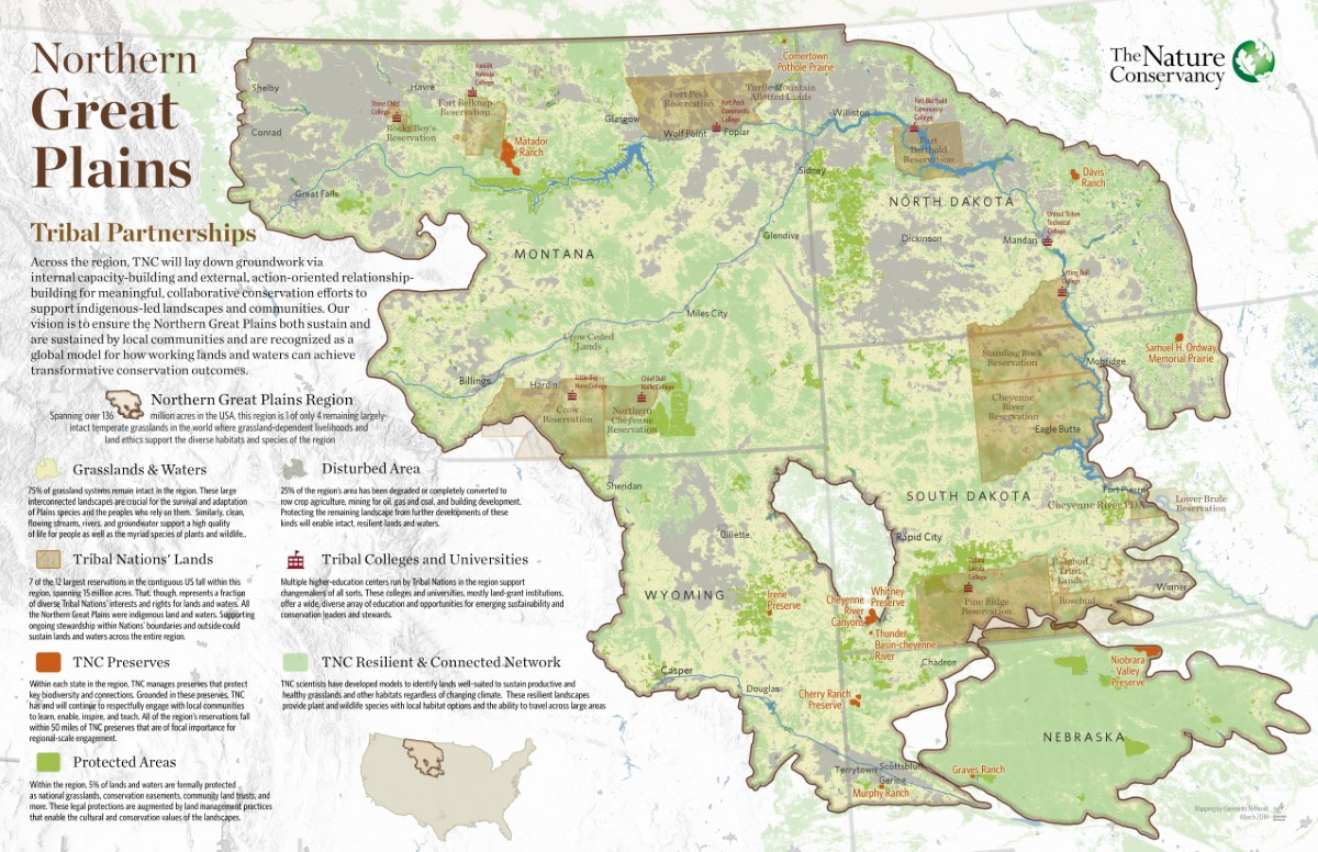
The Nature Conservancy has a big, landscape-scale story to tell about its work with Native tribes and ranchers across the prairies of the Northern Great Plains. We made a series of six showcase maps of the work, including three thematic views of the whole regions and three highlights of specific TNC preserves. These maps won First Place for a Map Series or Atlas at the 2020 Esri User Conference, the world’s largest mapping industry event.
Mapping to Make Monuments
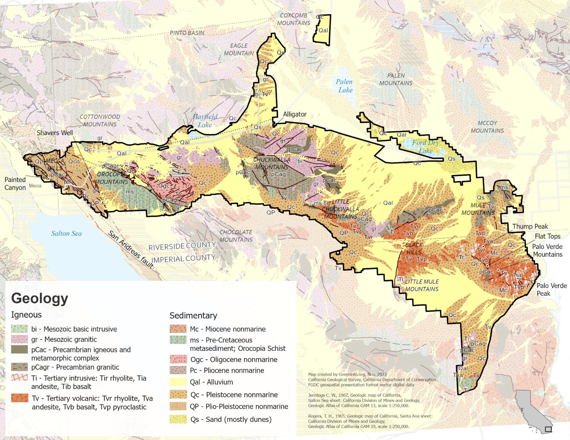
Our work with Tribes and conservation advocates in California was an essential part of campaigns that led to the designation of two new national monuments: Sattitla Highlands and Chuckwalla.
PerSquareMile data supports first park needs assessment in Los Angeles since 2009
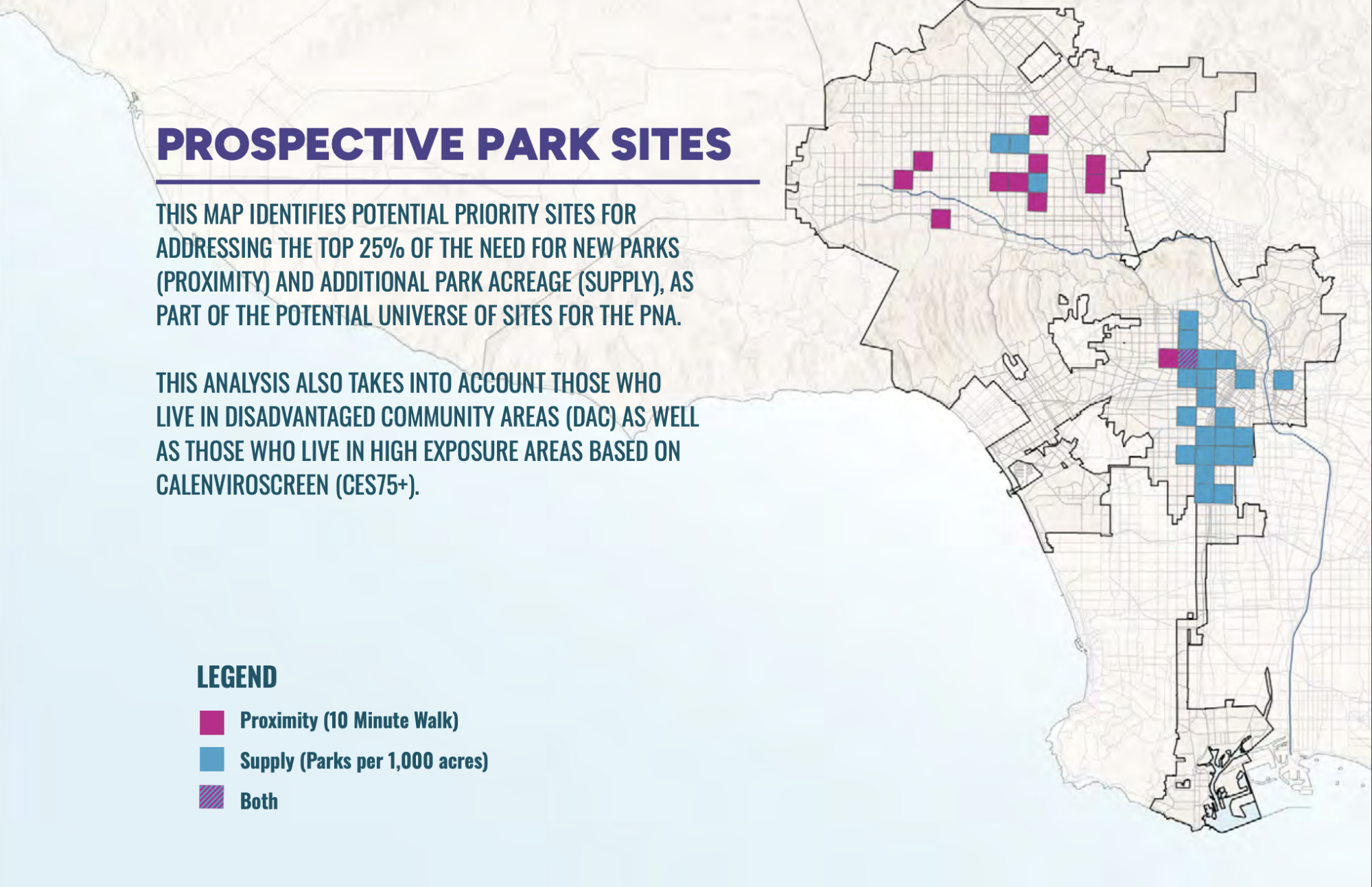
In early 2025, the City of Los Angeles undertook its first Park Needs Assessment since 2009. GreenInfo joined the team to help determine where new parks would have the most impact. We developed the PerSquareMile tool with UCLA to select 36 locations where new parks would most benefit people who lack park access.
Read more about PerSquareMile data supports first park needs assessment in Los Angeles since 2009