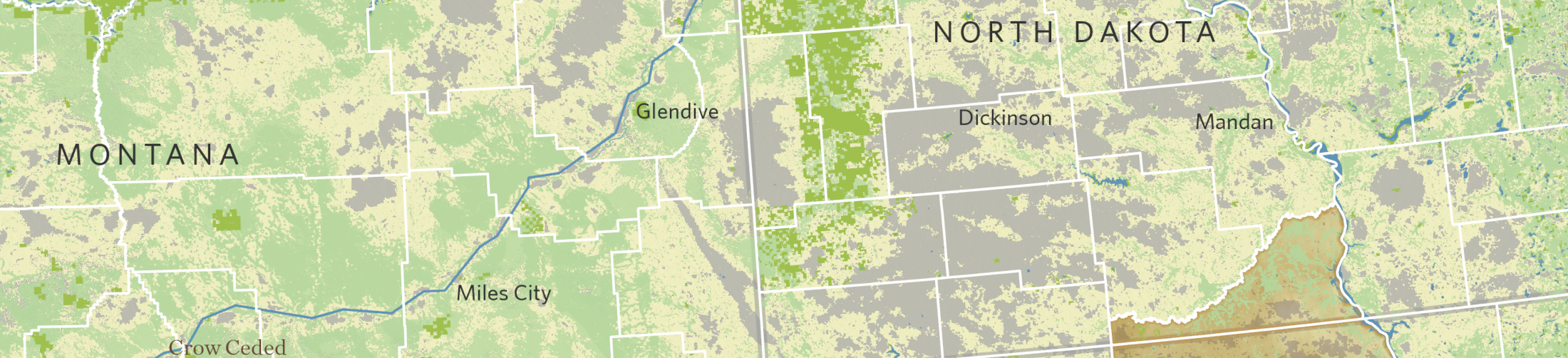
Mapping the resilient Northern Great Plains
The Nature Conservancy
GreenInfo team: Maegan Leslie Torres
Project years: 2019
Tags: Analysis GIS Services Public Health Social Justice/Equity
Overview
What challenges is this project trying to solve?
- The Nature Conservancy has worked with Native tribes and ranchers across the Northern Great Plains across various states and wants to showcase their work in that region
- Showing the scale of these projects to the general public would be a challenge in visual and creative mapping.
What were the client’s objectives?
- To create a series of maps that provided both distinct messaging and visually-compelling imagery that highlights the lands in question.
- To communicate about TNC's work and partnerships within the Northern Great Plains Region with tribal partners and local ranchers.
Results
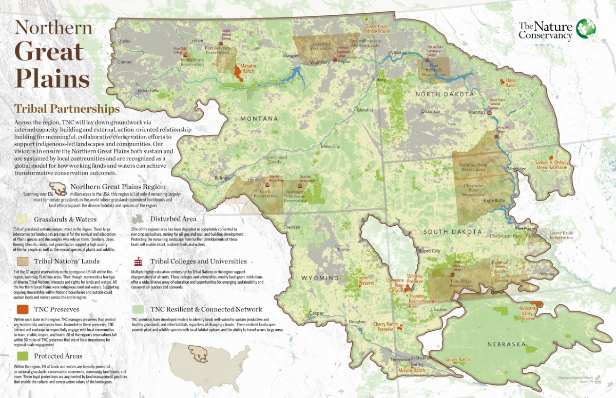
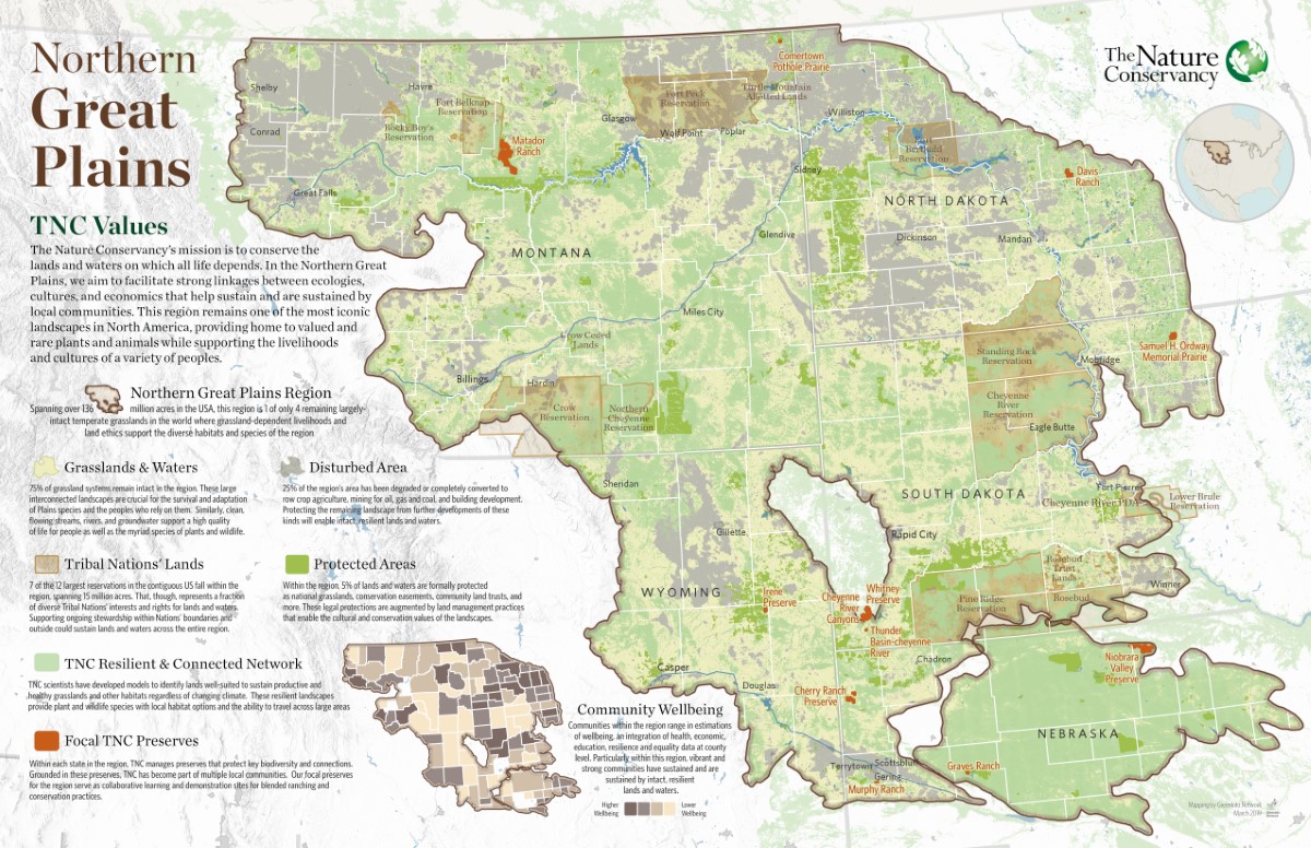
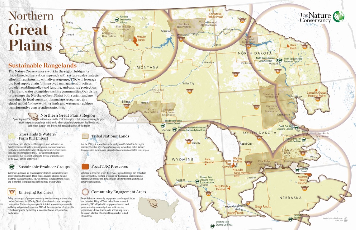
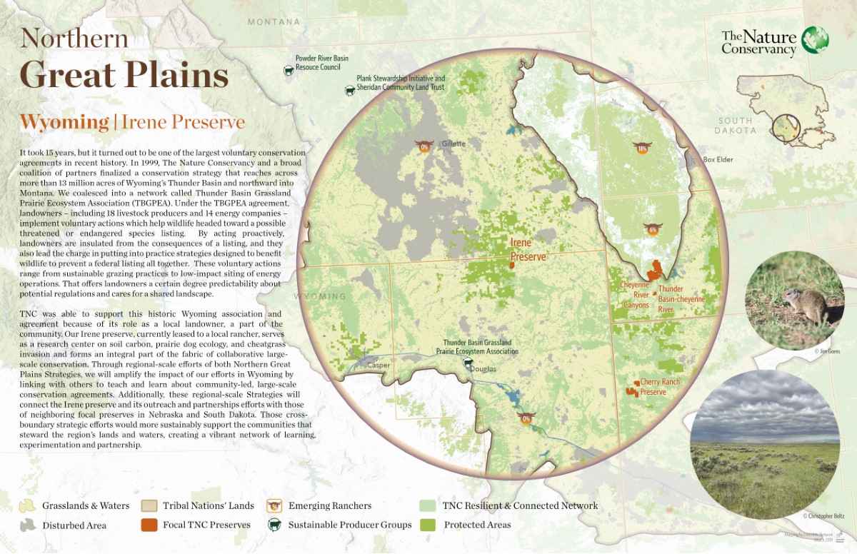
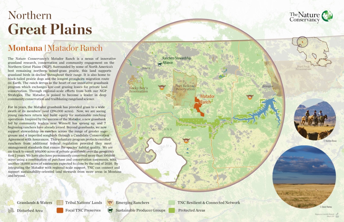
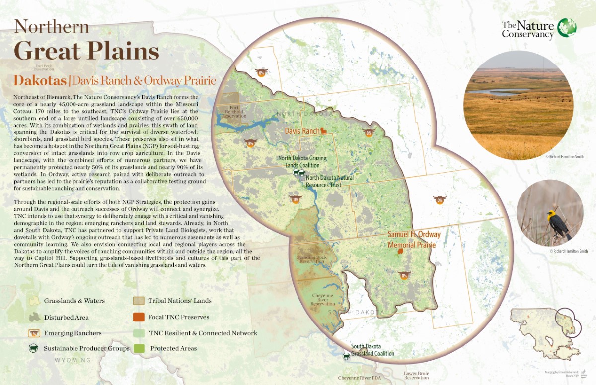
- A series of six showcase maps, including three thematic views of the region and three highlights of specific TNC preserves.
- These maps won First Place for a Map Series or Atlas at the 2020 Esri User Conference, the world’s largest mapping industry event.
The Work
The Nature Conservancy has a big, landscape-scale story to tell about its work with Native tribes and ranchers across the prairies of the Northern Great Plains. So we made a series of six showcase maps of the work, including three thematic views of the whole regions and three highlights of specific TNC preserves.
This project presented a challenge to incorporate complex messaging and vastly different map scales across several maps that we wanted to have a clear family resemblance while also each presenting its distinct message.