Portfolio
GreenInfo works on both a wide range of projects in the public interest and across many disciplines. We offer information design, cartographic, web design, design research, and accessibility services to partners working in conservation, social and environmental justice, public health, voting rights and democracy.
Expanded portfolio
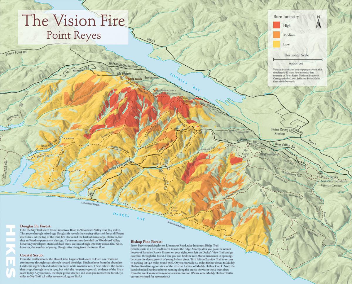
3D illustration map of fire history in Pt. Reyes National Seashore
In 2005, Greeninfo partnered with Bay Nature magazine prepare an 11"x17" map to illustrate a story on the changes that have occurred since a major fire in the Pt. Reyes National Seashore.
Read more about 3D illustration map of fire history in Pt. Reyes National Seashore
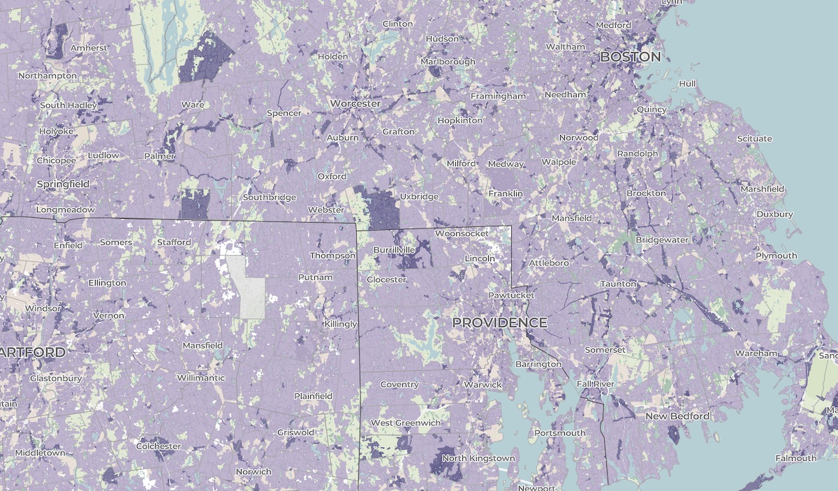
A crowdsourced zoning map for the nation
Zoning laws dictate much of what can be built in communities across the United States. But the details of the laws are often locked in lengthy and complicated PDF documents. The National Zoning Atlas crowdsources these incredibly influential laws by depicting their key attributes in an online, user-friendly map.
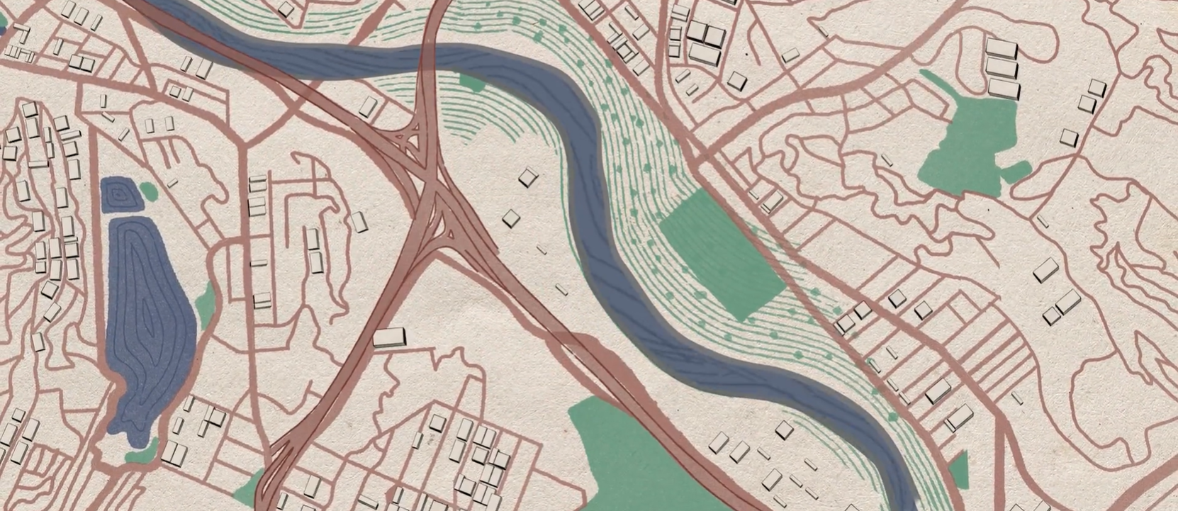
A cultural atlas of the LA River
Take Me to Your River: A Cultural Atlas of the LA River is a three-year project initiated by the Los Angeles-based arts organization Clockshop with a mapping component done in collaboration with Greeninfo Network.
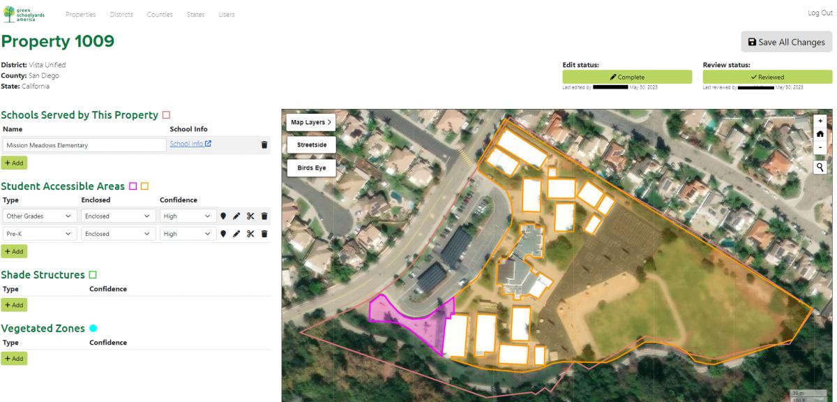
Analyzing tree canopy in schoolyards
Green Schoolyards America (GSA) seeks to transform asphalt-covered school grounds into park-like green spaces that improve children’s well-being, learning, and play while contributing to their communities' ecological health and climate resilience. GreenInfo Network began working with GSA back in 2022 to support their goals in this work by mapping tree canopy coverage in child-accessible areas in California school grounds.
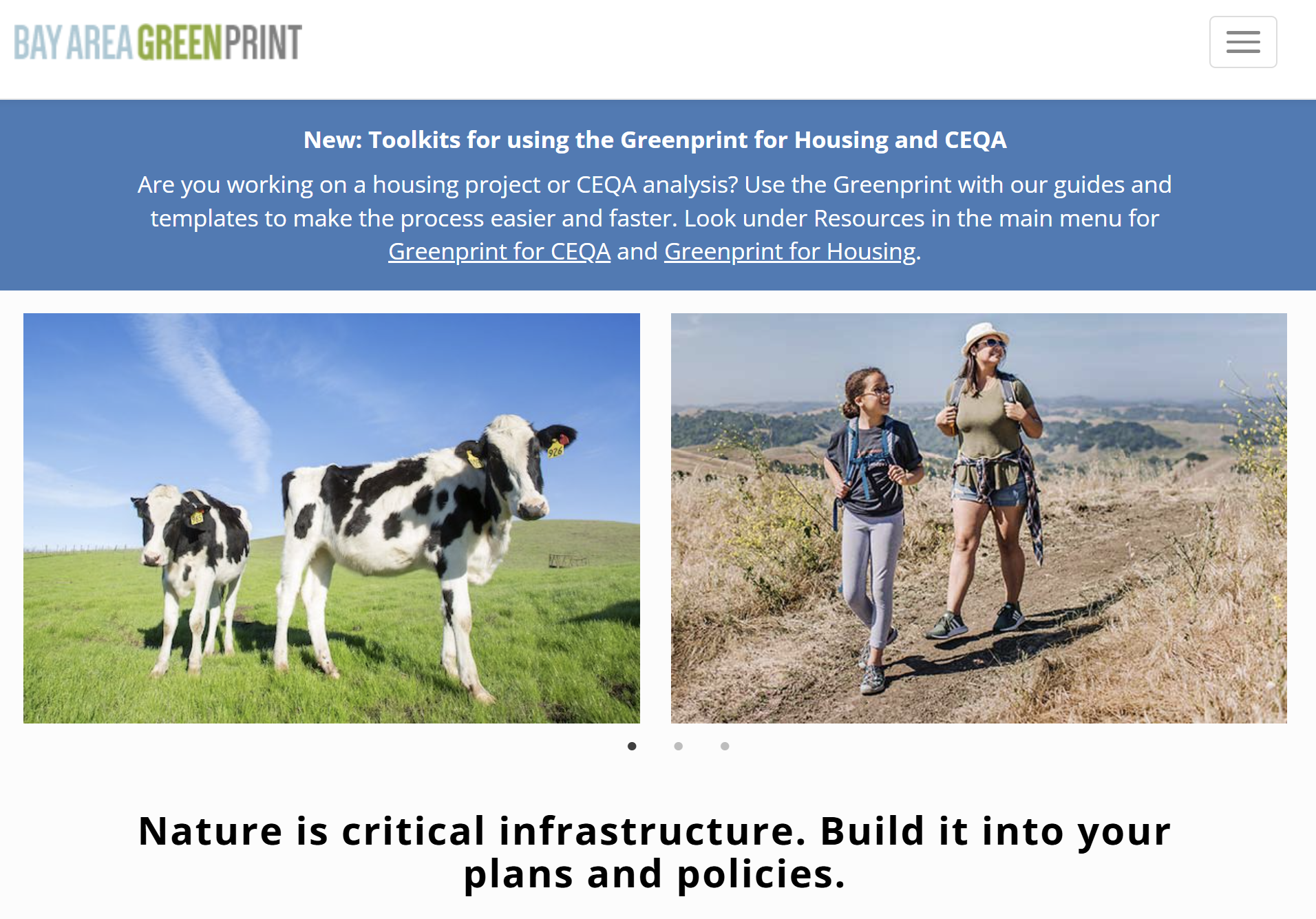
Bay Area Greenprint application
Bay Area Greenprint is a multi-year collaborative project created for TNC California alongside help from TOGETHER Bay Area, Greenbelt Alliance, and the American Farmland Trust California. It has grown into a website which provides a series of tools for reporting and analyzing various environmental factors across the Bay Area region.
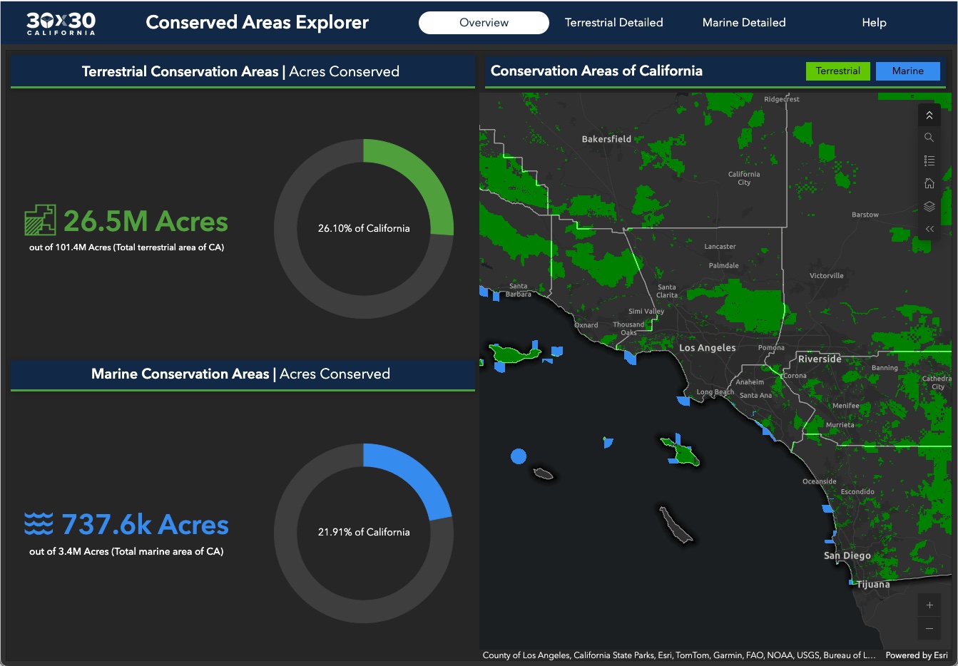
Conserving 30% of California by 2030
GreenInfo Network is the data partner for California's efforts to conserve 30% of its lands by 2030. We work closely with the state Natural Resources Agency to gather, process, and publish the data California uses to track progress toward this major milestone.
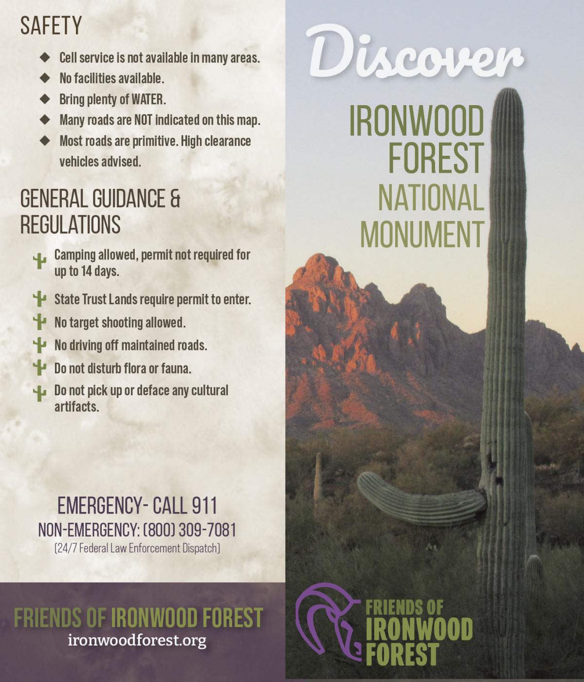
Discover Ironwood Forest National Monument
Friends of Ironwood Forest is a local non-profit organization that works for the permanent protection of the biological, geological, archaeological, and historical resources and values for which the Ironwood Forest National Monument was established. GreenInfo Network was excited to partner with Friends of Ironwood Forest to help increase public awareness about Ironwood Forest via updating the Ironwood Forest National Monument map and overall informational brochure.
Equitable park access research project
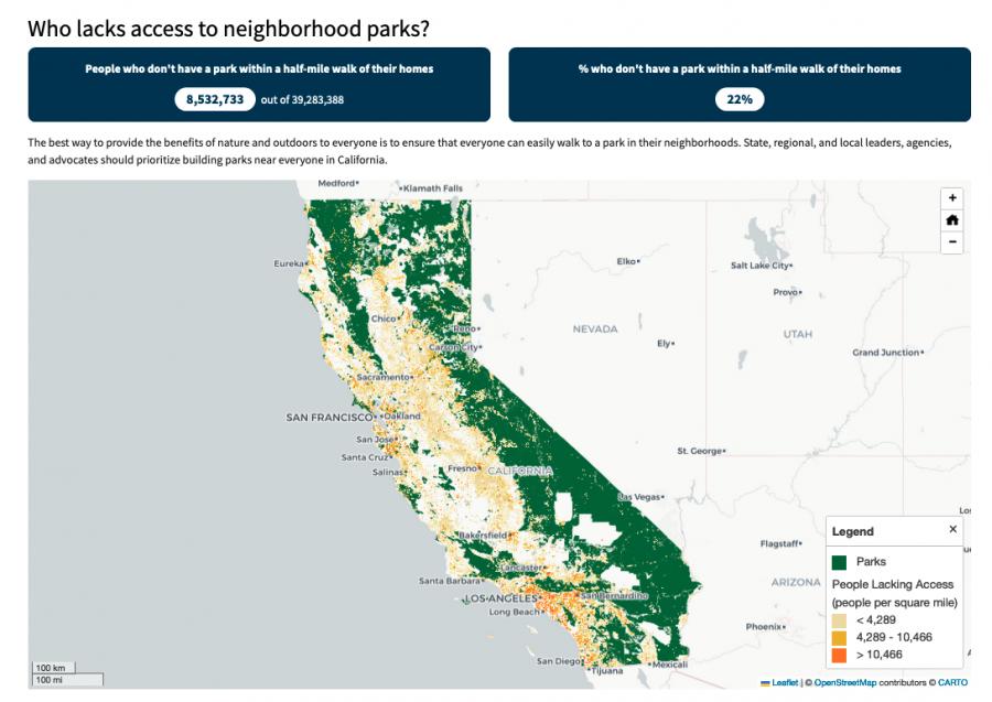
The Equitable Outdoor Access Research Project uses public data to map people and public parks and open spaces across six states (Arizona, California, Georgia, Montana, New Mexico and Washington). Across those states, we found that nearly 23 million people don’t have a neighborhood park within a 10-minute walk from their homes.

Guiding $1.5 billion for equitable park access
California voters have often supported bond measures to help build local parks. The Department of Parks and Recreation is charged with distributing those funds. We created parksforcalifornia.org to showcase that work. It also hosts tools that make it easier for local park advocates to apply for funding, and for the state to ensure those funds are equitably distributed.
Read more about Guiding $1.5 billion for equitable park access

Intertidal Strategies design research
The California Department of Fish and Wildlife (CDFW) manages California’s diverse fish resources and habitats. One way the department collects data is the fishery logbook, a form where people record catches or attempts for specific fish species. Greeninfo was contacted by Intertidal Strategies, who partnered with CDFW in creating a more efficient logbook entry platform.