Portfolio
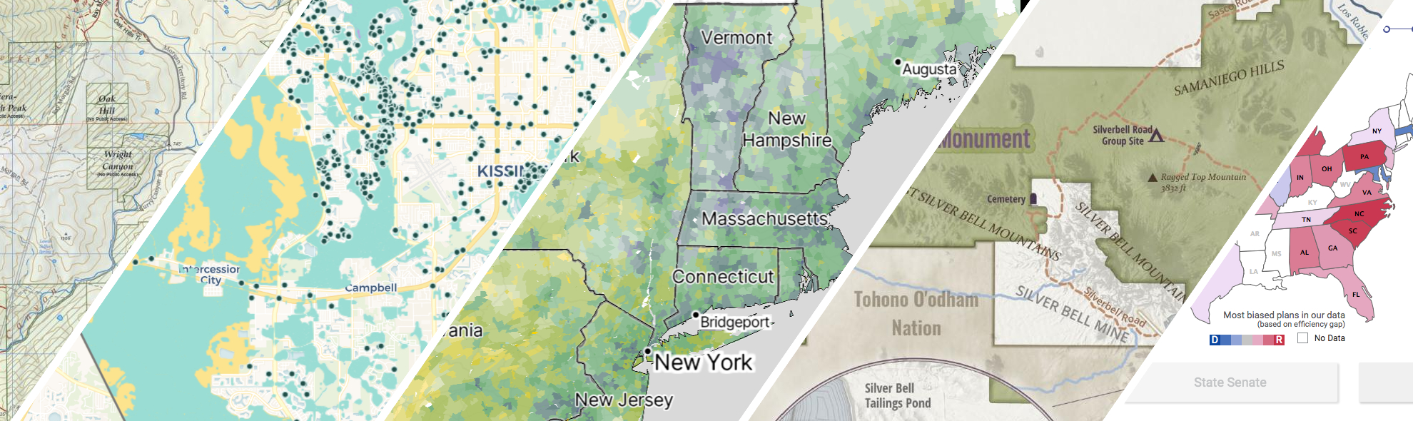
GreenInfo works on both a wide range of projects in the public interest and across many disciplines. We offer information design, cartographic, web design, design research, and accessibility services to partners working in conservation, social and environmental justice, public health, voting rights and democracy.
Expanded portfolio
Kelpwatch.org design and development
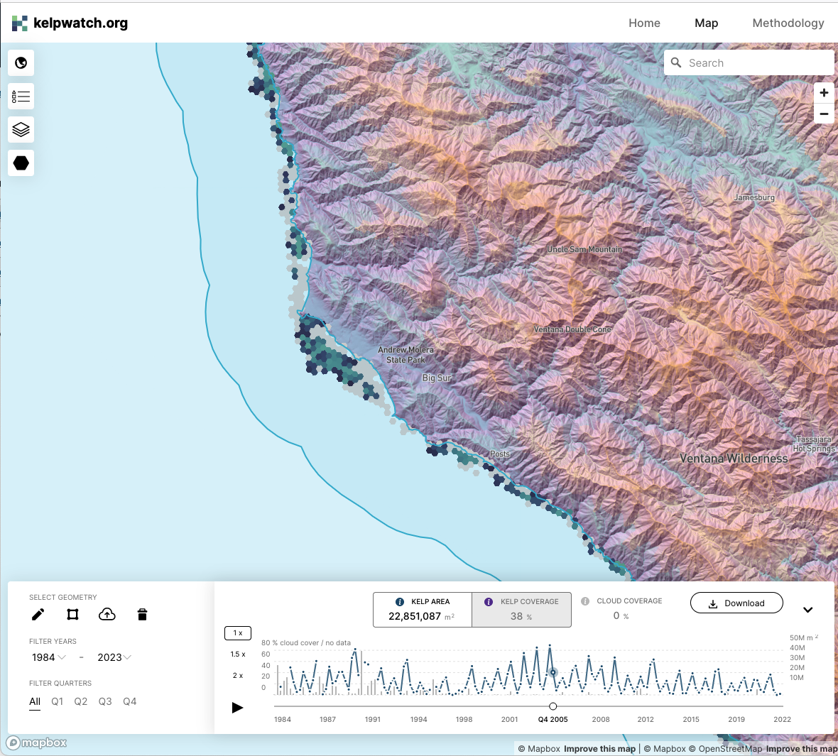
Working with academic and government partners, TNC staff had designed, built, and launched kelpwatch.org as an MVP demonstrating how earth observation data can be made actionable in California. They came to GreenInfo and we recruited help from our partners at Development Seed to grow the site into the world’s largest dynamic map of canopy-forming kelps.
Mapping the resilient Northern Great Plains
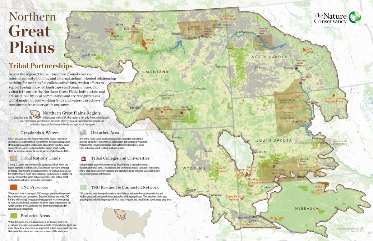
The Nature Conservancy has a big, landscape-scale story to tell about its work with Native tribes and ranchers across the prairies of the Northern Great Plains. We made a series of six showcase maps of the work, including three thematic views of the whole regions and three highlights of specific TNC preserves. These maps won First Place for a Map Series or Atlas at the 2020 Esri User Conference, the world’s largest mapping industry event.
Mapping Wildlife Crossings in San Jose
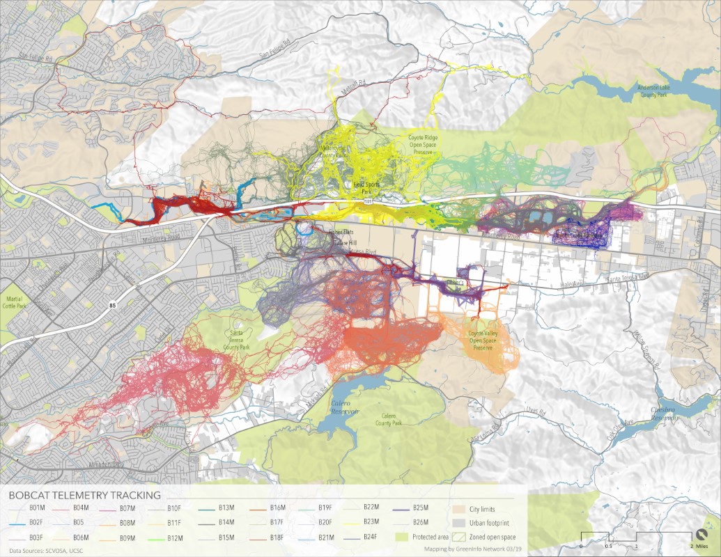
Greeninfo developed a series of maps for Santa Clara Valley Open Space Authority to map wildlife crossings in the San Jose Area, specifically Coyote Valley which serves as a key habitat connector between coastal and inland habitats.
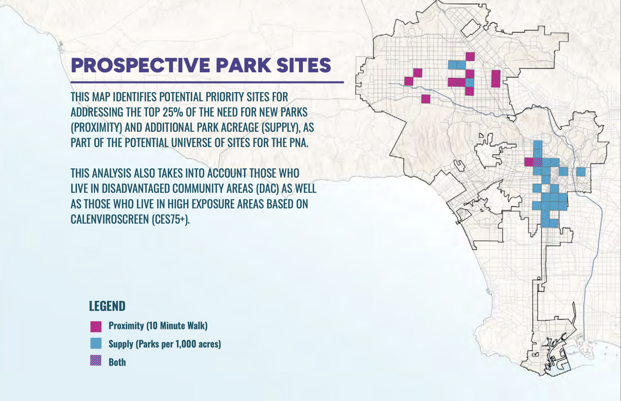
PerSquareMile data supports first park needs assessment in Los Angeles since 2009
In early 2025, the City of Los Angeles undertook its first Park Needs Assessment since 2009. GreenInfo joined the team to help determine where new parks would have the most impact. We developed the PerSquareMile tool with UCLA to select 36 locations where new parks would most benefit people who lack park access.
Read more about PerSquareMile data supports first park needs assessment in Los Angeles since 2009
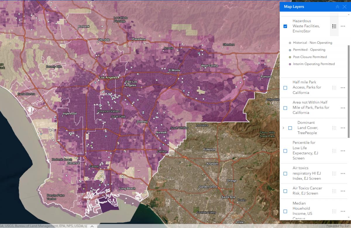
Powerbuilding with Maps
Prevention Institute’s People, Parks, and Power (P3) is the first national funding initiative in the U.S. to support powerbuilding by community-based organizations to reverse deep seated park and green space inequities in Black, Latino, and Indigenous communities across the country. GreenInfo Network was brought in to assist with our mapping expertise.
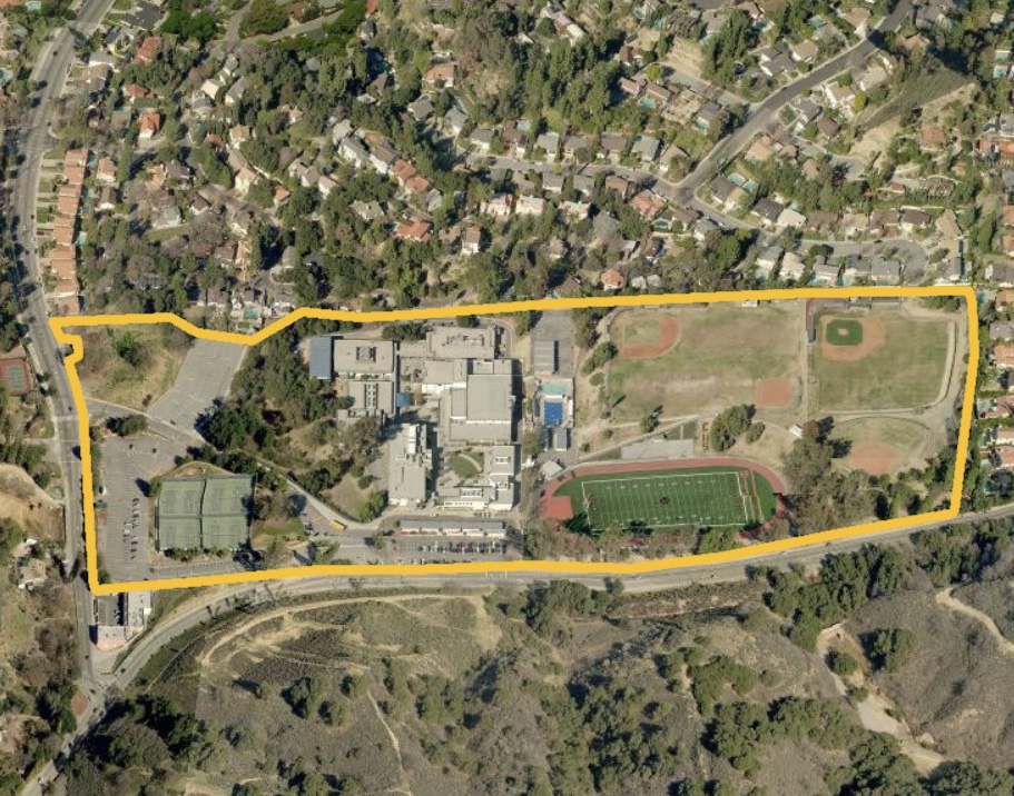
Putting 10,000 school campuses on the map
Schools should be safe spaces where kids can learn and thrive. Public health researchers have long studied the negative impacts of commercial tobacco sales and marketing near schools. But they were working from imprecise and often inaccurate maps until we created the California School Campus Database.
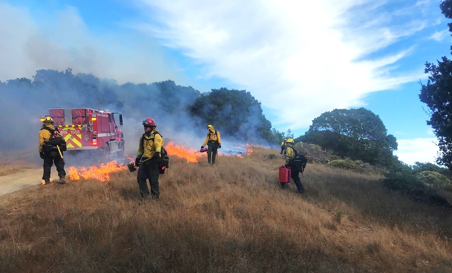
Reducing Wildfire in Marin County
Wildfire is a fact of life in California. In 2000, Marin County residents voted to fund a new agency, the Marin Wildfire Prevention Authority, to chart a path to a fire-resilient future. We helped them build a mapping and data program to track their progress.
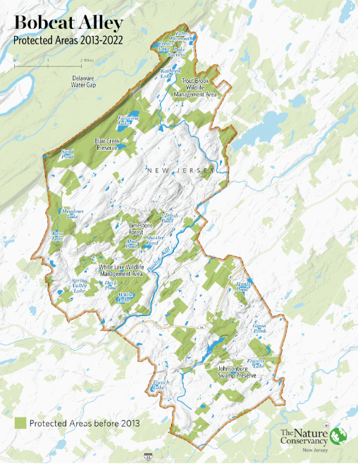
Showcasing Important Migration Routes
Within New Jersey is Bobcat Alley, a 96,000 acre wildlife corridor managed by The Nature Conservancy New Jersey to assist in the recovery of the bobcat population. TNC NJ partnered with Greeninfo Network to create a set of maps whose purpose was to (1) promote Bobcat Alley and (2) to visually map the migration routes of bobcats within the area.
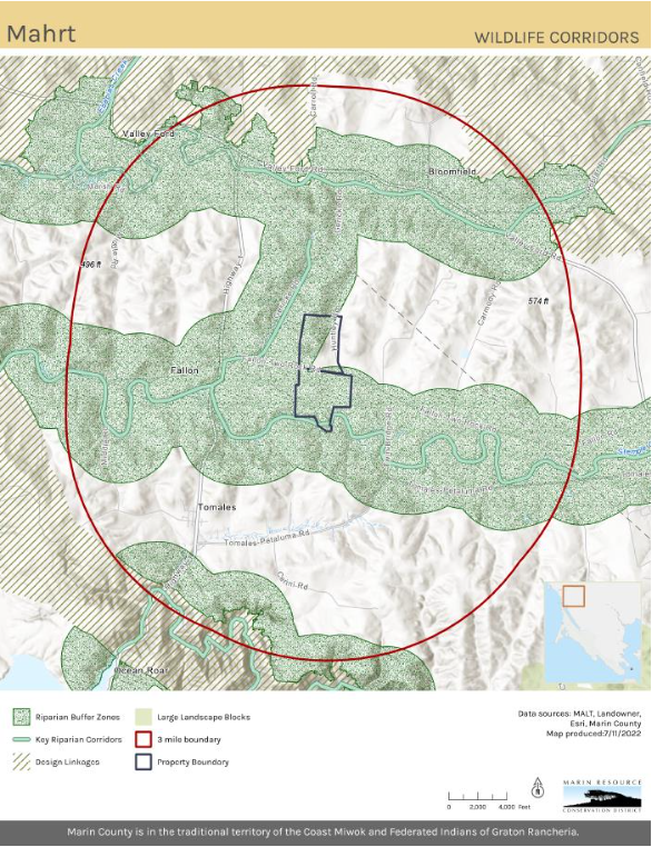
Updating Maps and Creating GIS Best Practices
Back in 2022, Marin Resource Conservation District (RCD) worked with GIN in developing and implementing a robust new GIS system. Over several months we did monthly training for ArcGIS Pro and data management. Collaboratively we consolidated and updated existing data into organized geodatabases.
Read more about Updating Maps and Creating GIS Best Practices