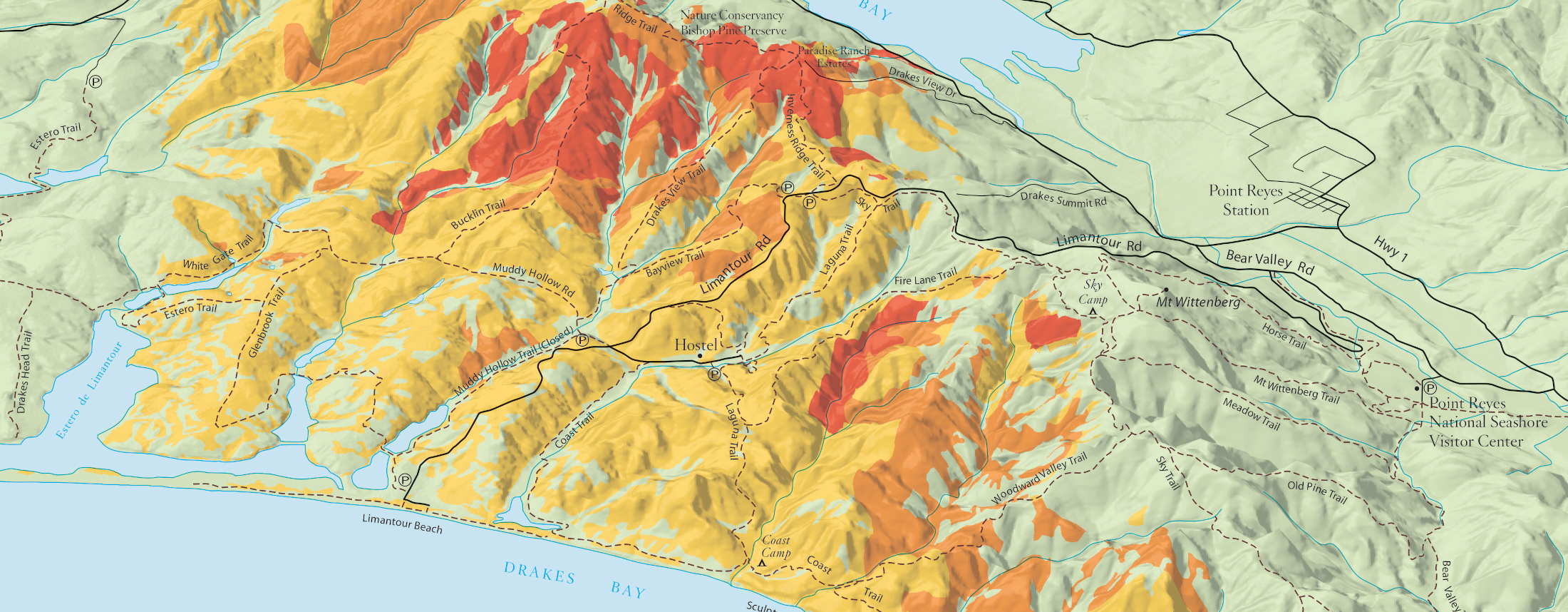
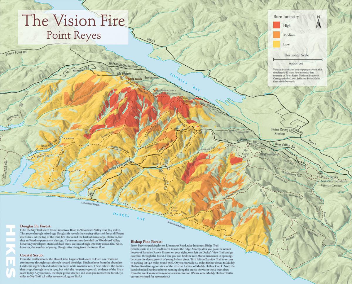
3D illustration map of fire history in Pt. Reyes National Seashore
Bay Nature
GreenInfo team: Louis Jaffe
Project years: 2005
Tags: Communications Conservation GIS Services Government Agencies Graphic Design Publications Strategy
Overview
What challenges is this project trying to solve?
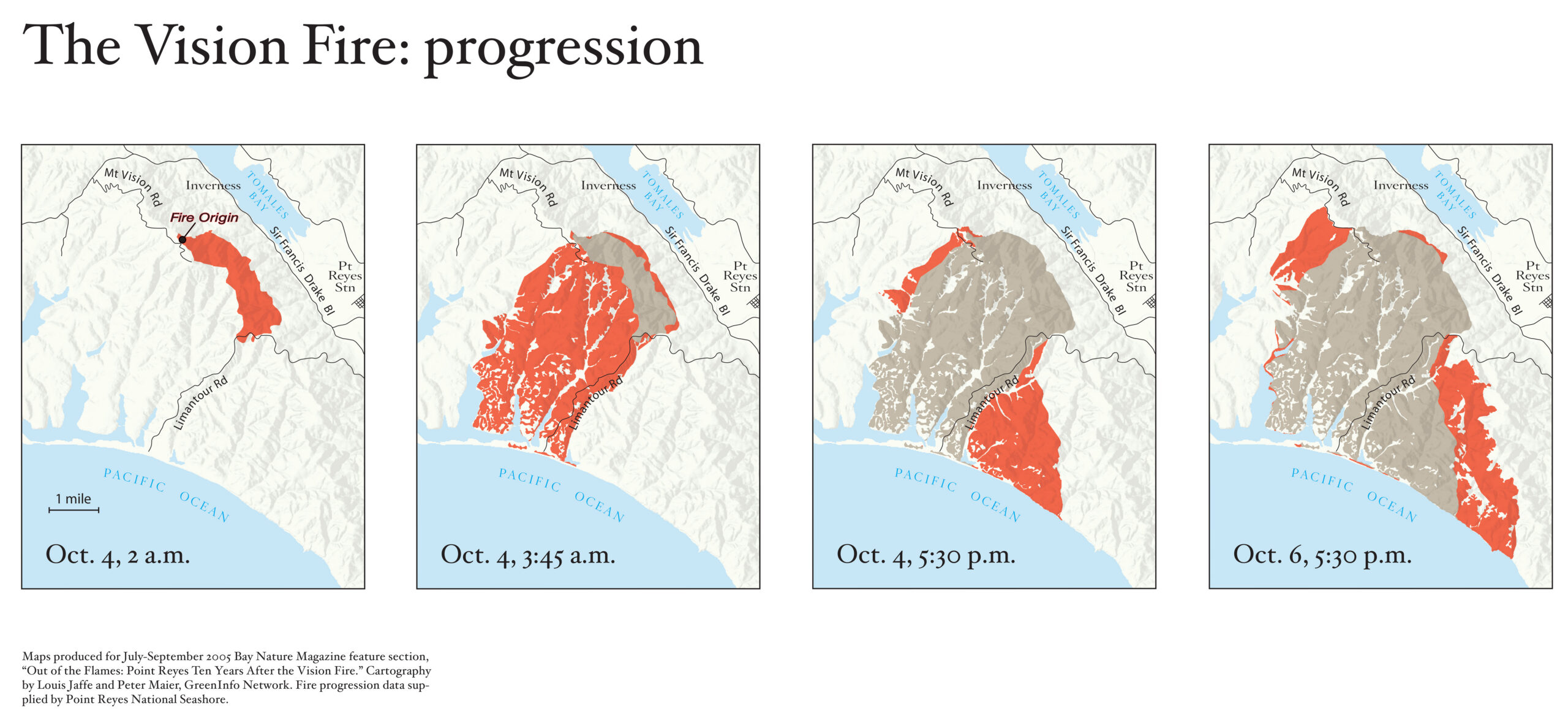
- Bay Nature magazine is a quarterly publication that covers the natural history and current affairs of the San Francisco Bay region. This map was prepared as an 11"x17" centerfold to illustrate a story on the changes that have occurred since a major fire (around Mt Vision) in the Pt. Reyes National Seashore.
What were the client’s objectives?
- Bay Nature magazine wanted to create a visual map depicting the ecological changes wrought by the 1995 California's Pt. Reyes National and asked GreenInfo to create such maps.
Results
- GreenInfo's fire map helped Bay Nature succeed with its coverage of ecological restoration after a massive wildfire.
The Work
Bay Nature magazine is a quarterly publication that covers the natural history and current affairs of the San Francisco Bay region. This map was prepared as an 11″x17″ centerfold to illustrate a story on the changes that have occurred since a major fire (around Mt Vision) in the Pt. Reyes National Seashore.
The map was prepared by Louis Jaffe, a GreenInfo Network board member, working with our GIS staff to export the spatial information needed. GIS software was used for mocking up the map, and illustration software was used for the final art. The map was used in a special supplement to Bay Nature magazine.