Portfolio
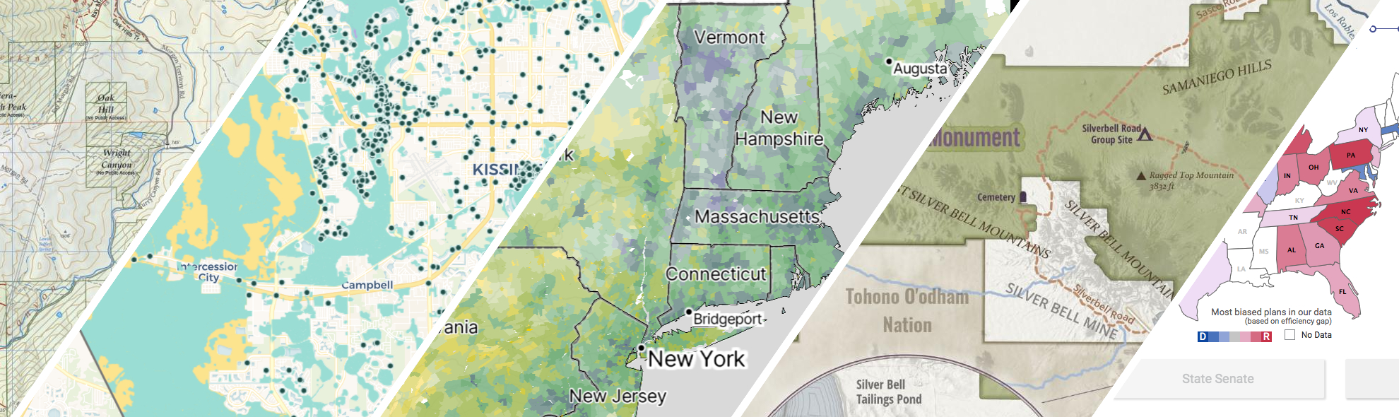
GreenInfo works on both a wide range of projects in the public interest and across many disciplines. We offer information design, cartographic, web design, design research, and accessibility services to partners working in conservation, social and environmental justice, public health, voting rights and democracy.
Expanded portfolio
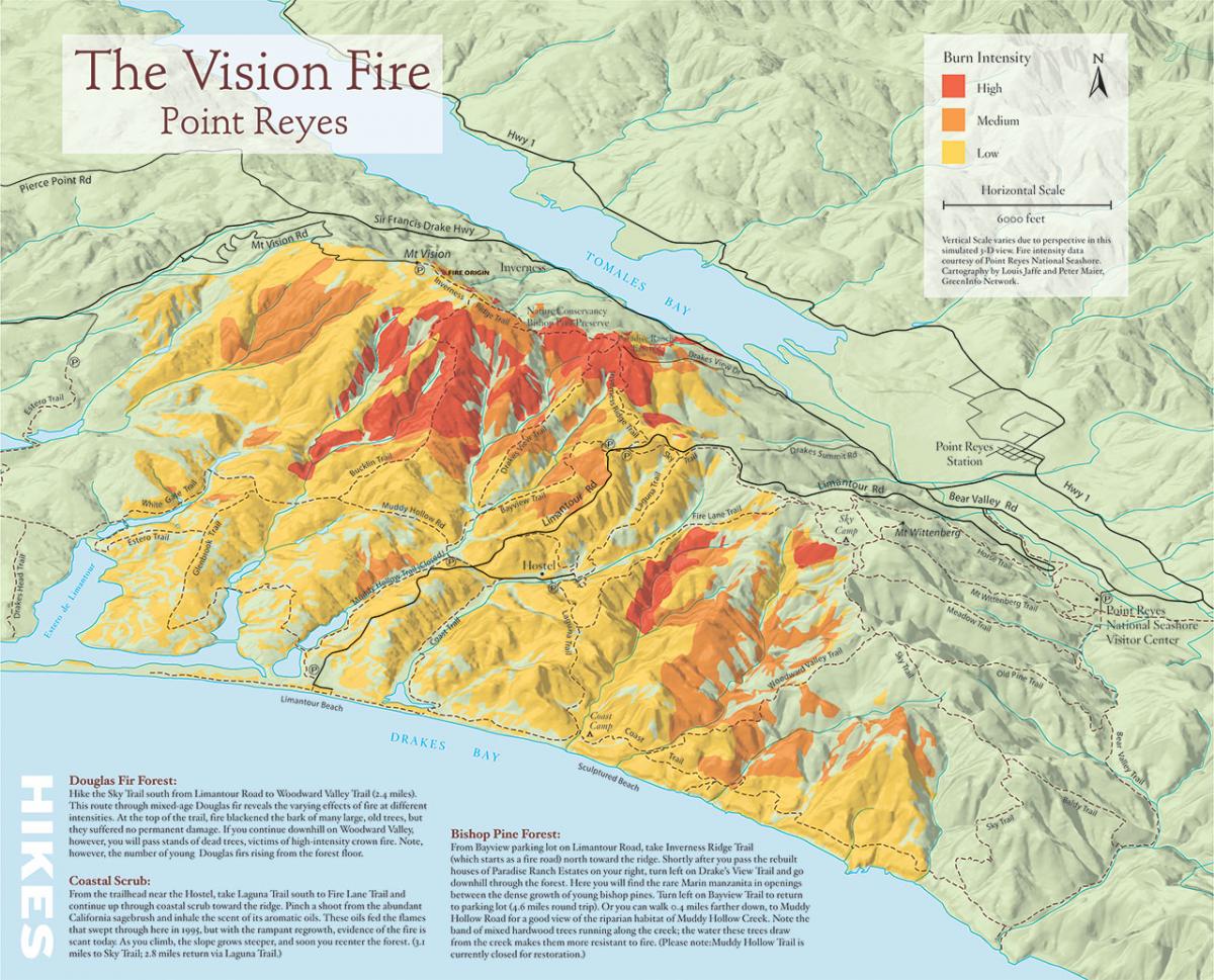
3D illustration map of fire history in Pt. Reyes National Seashore
In 2005, Greeninfo partnered with Bay Nature magazine prepare an 11"x17" map to illustrate a story on the changes that have occurred since a major fire in the Pt. Reyes National Seashore.
Read more about 3D illustration map of fire history in Pt. Reyes National Seashore
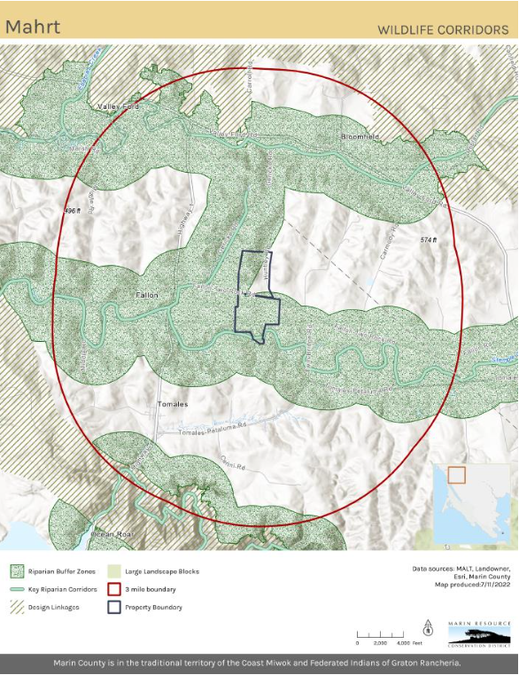
Updating Maps and Creating GIS Best Practices
Back in 2022, Marin Resource Conservation District (RCD) worked with GIN in developing and implementing a robust new GIS system. Over several months we did monthly training for ArcGIS Pro and data management. Collaboratively we consolidated and updated existing data into organized geodatabases.
Read more about Updating Maps and Creating GIS Best Practices
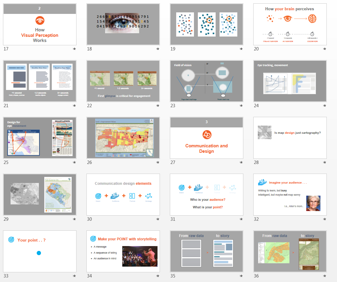
Visual Design Presentation
GreenInfo has long been supported by Esri, the leading GIS publisher, and its conservation program which donates ArcGIS software used heavily by GreenInfo. Ever year, Esri holds a major User Conference with over 15,000 GIS users, featuring hundreds of workshops and other learning sessions. Based on discussions between GreenInfo and Esri at the 2013 conference about the quality of maps being exhibited by users, Esri underwrote the development of a three part presentation series for 2014, co-created by GreenInfo and Esri staff which has been exhibited between the years 2014 to 2018.