Portfolio
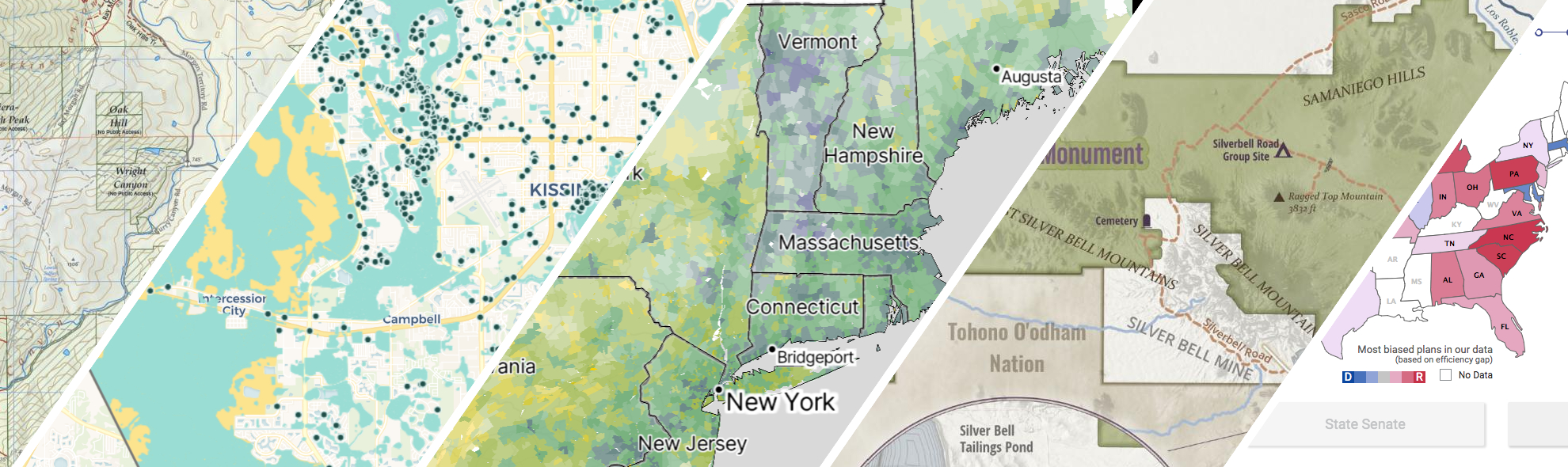
GreenInfo works on both a wide range of projects in the public interest and across many disciplines. We offer information design, cartographic, web design, design research, and accessibility services to partners working in conservation, social and environmental justice, public health, voting rights and democracy.
Expanded portfolio
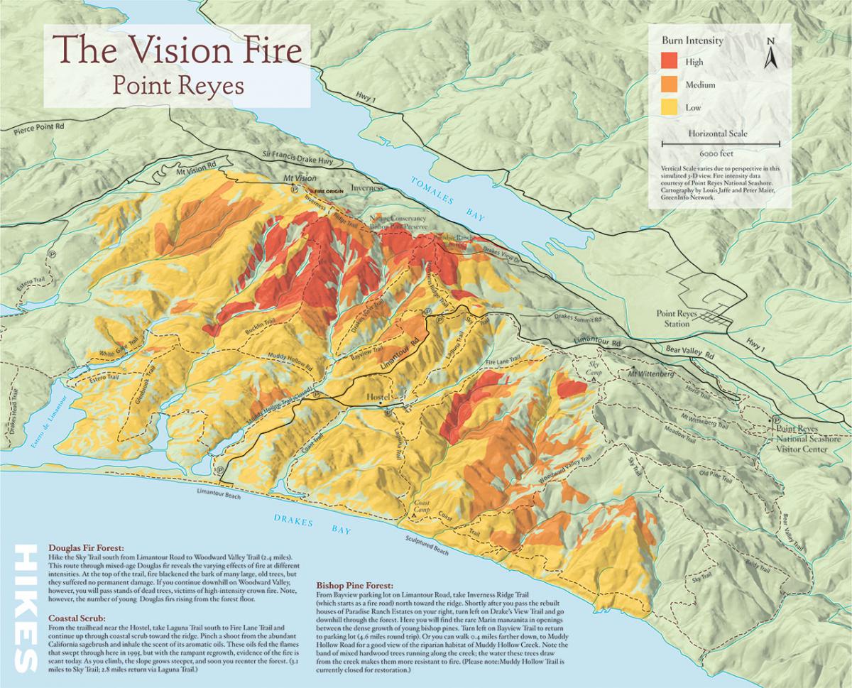
3D illustration map of fire history in Pt. Reyes National Seashore
In 2005, Greeninfo partnered with Bay Nature magazine prepare an 11"x17" map to illustrate a story on the changes that have occurred since a major fire in the Pt. Reyes National Seashore.
Read more about 3D illustration map of fire history in Pt. Reyes National Seashore
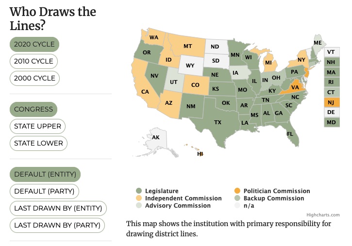
All About Redistricting
Every 10 years, the geographic boundaries that define our democracy are redrawn. It’s an obscure but very important process. And it can be done fairly — or not. Legal Scholar Justin Levitt is a nationally known expert on redistricting, and we helped create the online home of his All About Redistricting project.
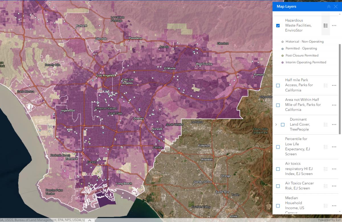
Powerbuilding with Maps
Prevention Institute’s People, Parks, and Power (P3) is the first national funding initiative in the U.S. to support powerbuilding by community-based organizations to reverse deep seated park and green space inequities in Black, Latino, and Indigenous communities across the country. GreenInfo Network was brought in to assist with our mapping expertise.
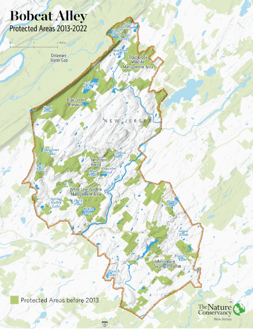
Showcasing Important Migration Routes
Within New Jersey is Bobcat Alley, a 96,000 acre wildlife corridor managed by The Nature Conservancy New Jersey to assist in the recovery of the bobcat population. TNC NJ partnered with Greeninfo Network to create a set of maps whose purpose was to (1) promote Bobcat Alley and (2) to visually map the migration routes of bobcats within the area.
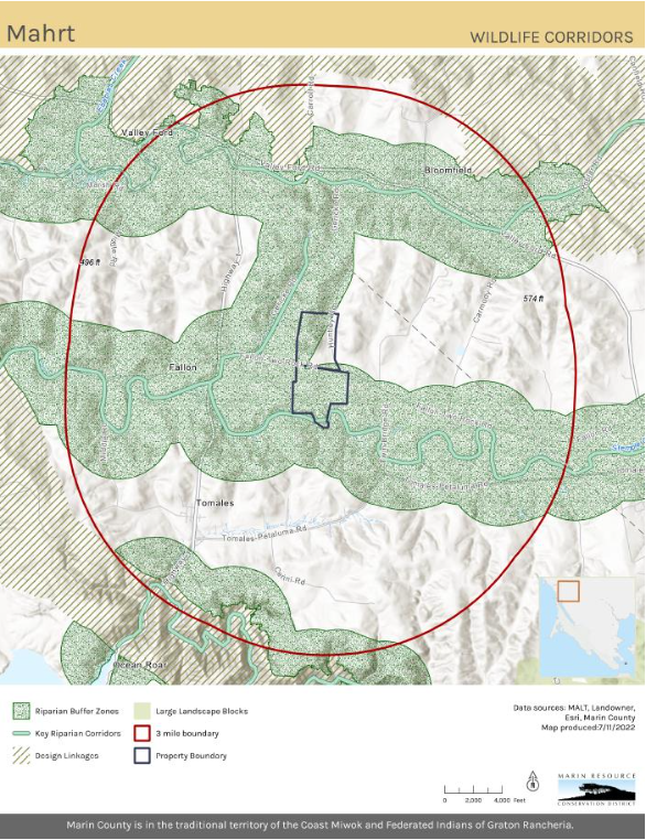
Updating Maps and Creating GIS Best Practices
Back in 2022, Marin Resource Conservation District (RCD) worked with GIN in developing and implementing a robust new GIS system. Over several months we did monthly training for ArcGIS Pro and data management. Collaboratively we consolidated and updated existing data into organized geodatabases.
Read more about Updating Maps and Creating GIS Best Practices