Portfolio
GreenInfo works on both a wide range of projects in the public interest and across many disciplines. We offer information design, cartographic, web design, design research, and accessibility services to partners working in conservation, social and environmental justice, public health, voting rights and democracy.
Expanded portfolio
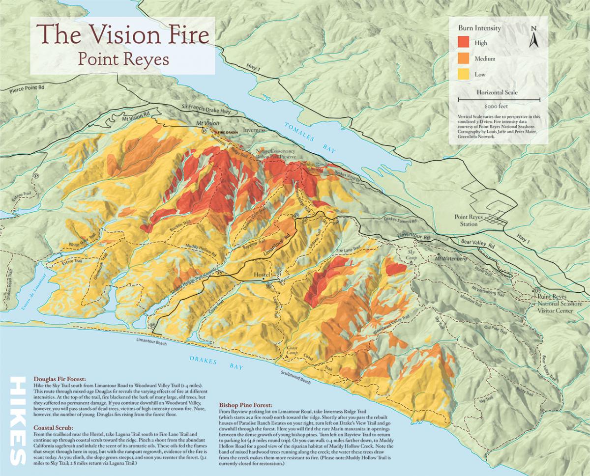
3D illustration map of fire history in Pt. Reyes National Seashore
In 2005, Greeninfo partnered with Bay Nature magazine prepare an 11"x17" map to illustrate a story on the changes that have occurred since a major fire in the Pt. Reyes National Seashore.
Read more about 3D illustration map of fire history in Pt. Reyes National Seashore
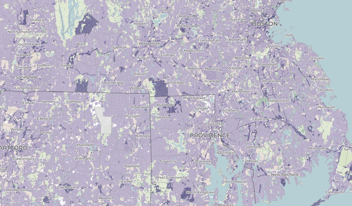
A crowdsourced zoning map for the nation
Zoning laws dictate much of what can be built in communities across the United States. But the details of the laws are often locked in lengthy and complicated PDF documents. The National Zoning Atlas crowdsources these incredibly influential laws by depicting their key attributes in an online, user-friendly map.
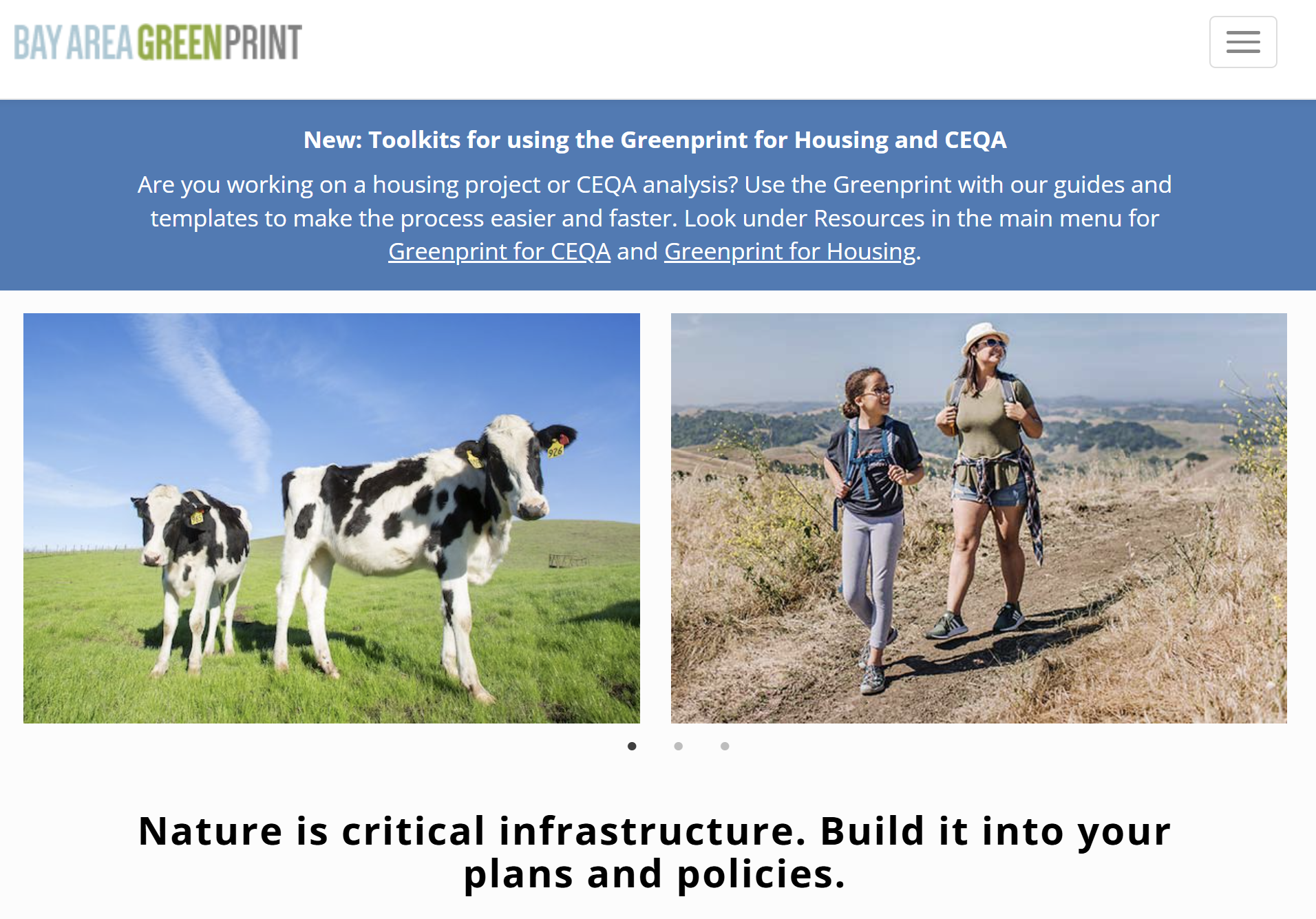
Bay Area Greenprint application
Bay Area Greenprint is a multi-year collaborative project created for TNC California alongside help from TOGETHER Bay Area, Greenbelt Alliance, and the American Farmland Trust California. It has grown into a website which provides a series of tools for reporting and analyzing various environmental factors across the Bay Area region.
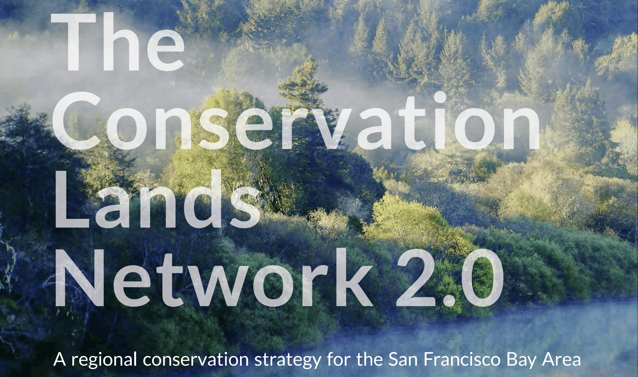
Conservation Lands Network 2.0
Conservation Lands Network 2.0 is a long-term regional strategy and framework to set goals, provide tools, and catalyzes on-the-ground land conservation in the Bay Area. Working closely with TOGETHER Bay Area (formerly the Bay Area Open Space Council), Greeninfo Network worked to completely update and relaunch the Conservation Lands Network and associated web tools. This foundational dataset has been a key guide for regional conservation funding and habitat protection for more than a decade. The update included a complete rerunning of the underlying analysis from 1.0, alongside an extensive reimagining of the online Explorer tool and the Conservation Portfolio report.
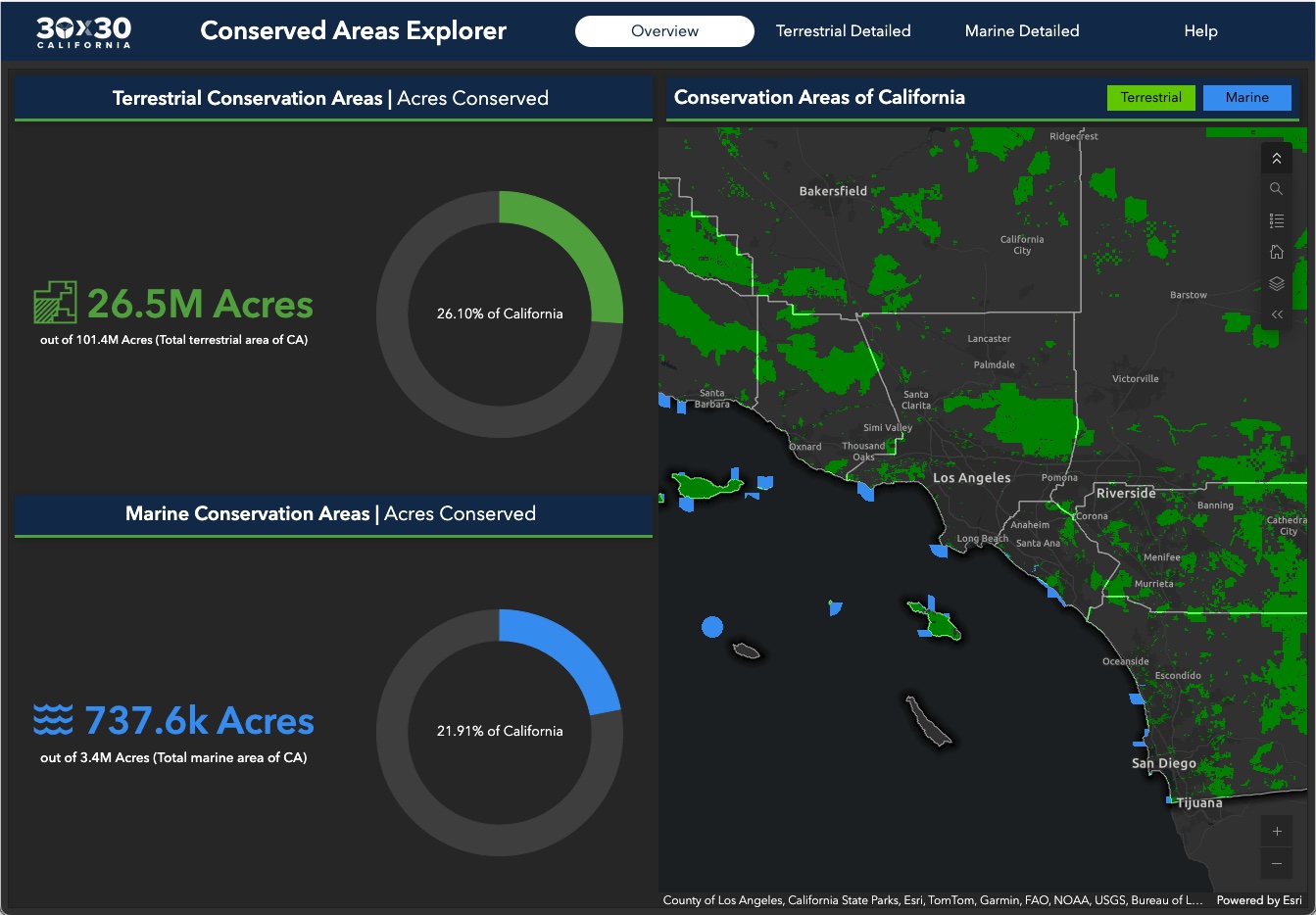
Conserving 30% of California by 2030
GreenInfo Network is the data partner for California's efforts to conserve 30% of its lands by 2030. We work closely with the state Natural Resources Agency to gather, process, and publish the data California uses to track progress toward this major milestone.
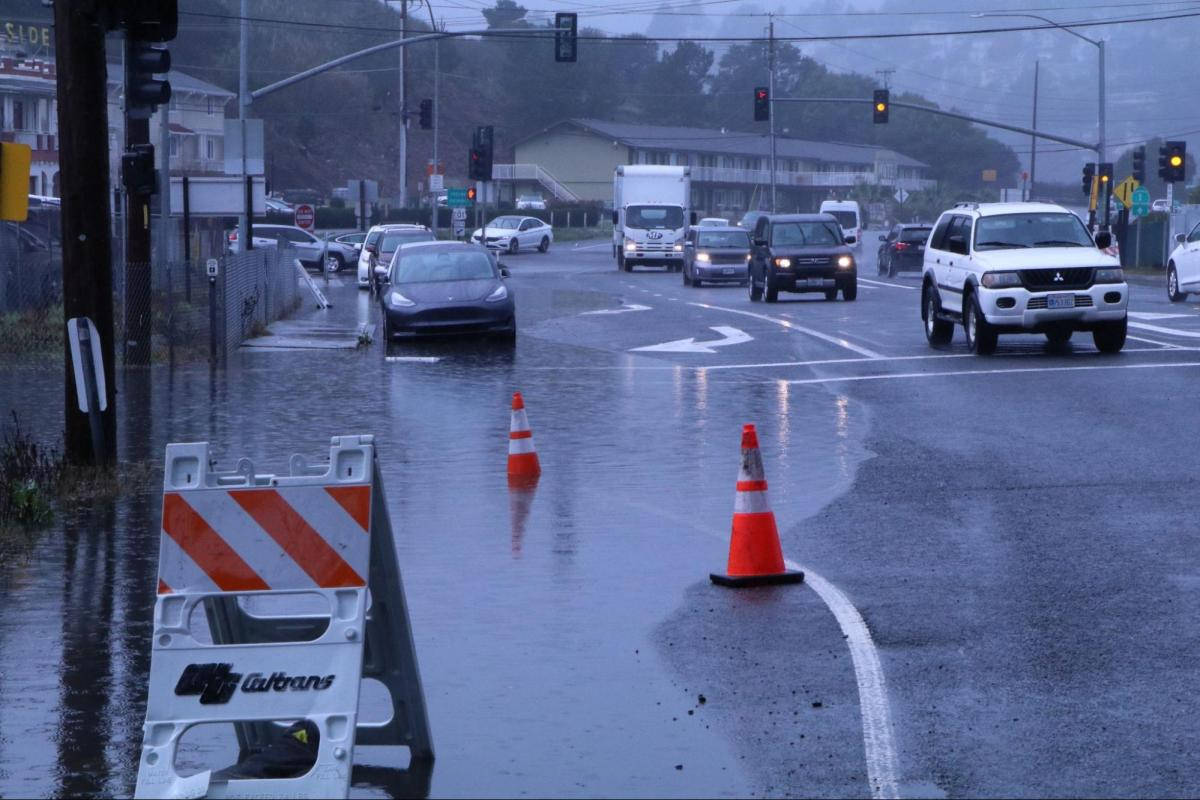
Helping transportation planners adapt to sea level rise
San Francisco Bay Area roads are at risk from sea level rise. In Marin County, major highways often run on low-lying lands that were once marshes. Marin County’s Public Works Department wanted to provide data about sea level rise to planners and engineers who work on road projects. GreenInfo Network and Tom Robinson Consulting built Marin County’s Resilient Roads application for that purpose.
Read more about Helping transportation planners adapt to sea level rise
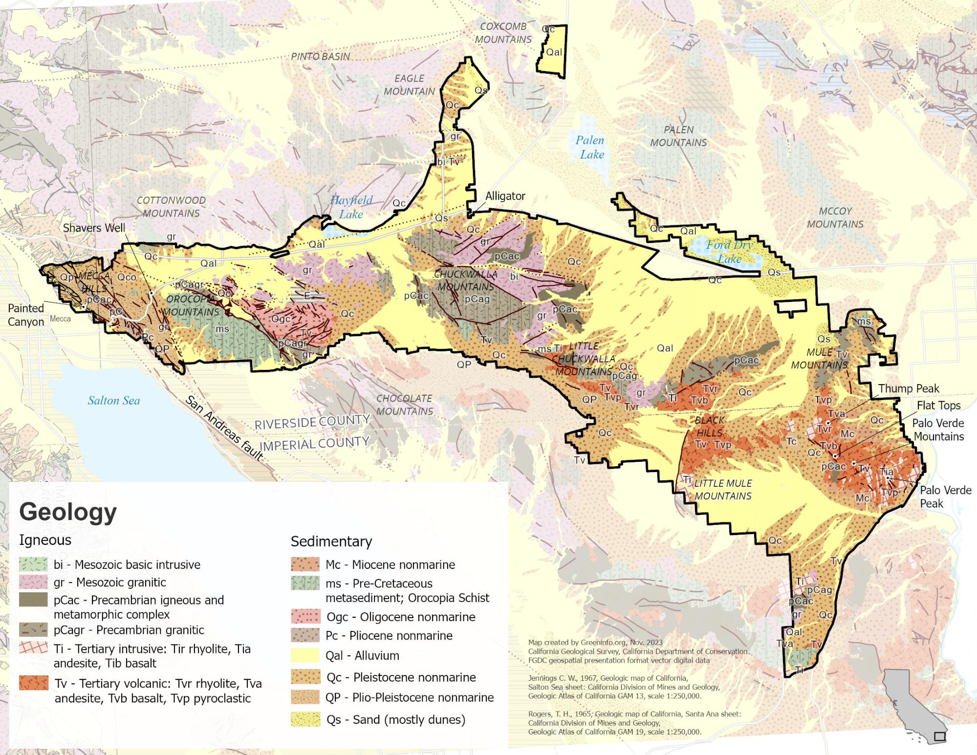
Mapping to Make Monuments
Our work with Tribes and conservation advocates in California was an essential part of campaigns that led to the designation of two new national monuments: Sattitla Highlands and Chuckwalla.
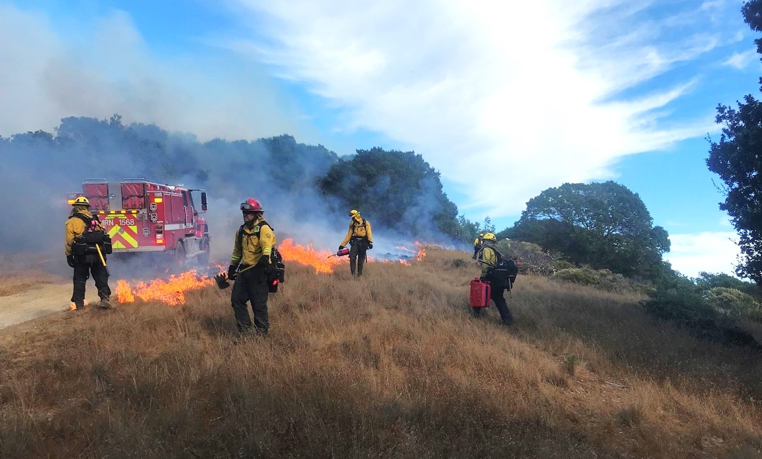
Reducing Wildfire in Marin County
Wildfire is a fact of life in California. In 2000, Marin County residents voted to fund a new agency, the Marin Wildfire Prevention Authority, to chart a path to a fire-resilient future. We helped them build a mapping and data program to track their progress.