Portfolio
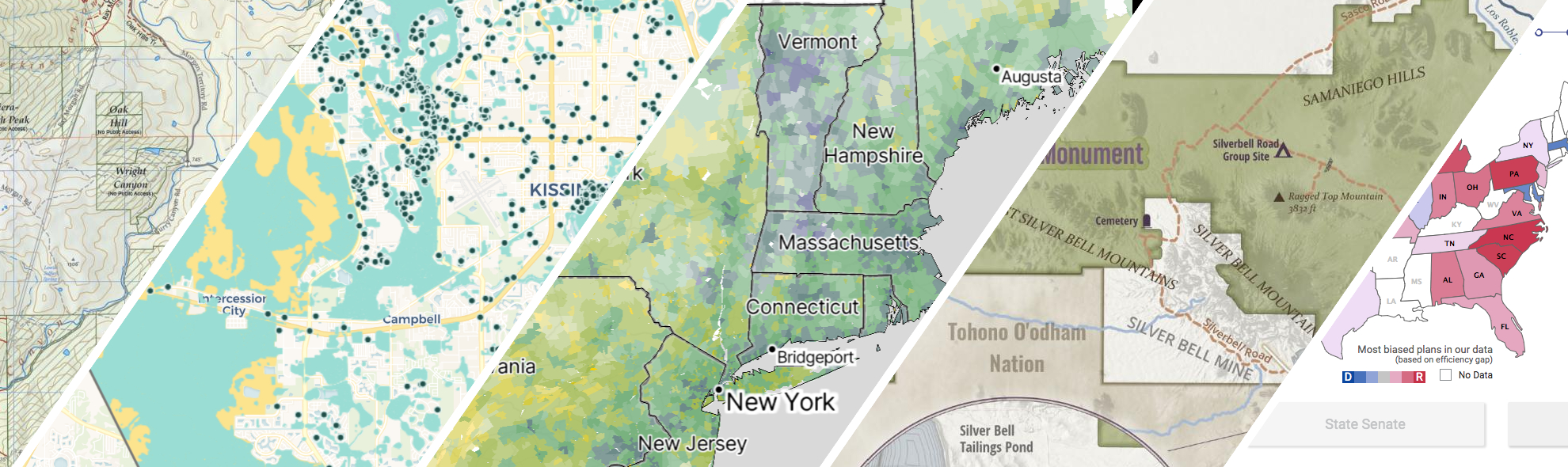
GreenInfo works on both a wide range of projects in the public interest and across many disciplines. We offer information design, cartographic, web design, design research, and accessibility services to partners working in conservation, social and environmental justice, public health, voting rights and democracy.
Expanded portfolio
Bay Area Greenprint application
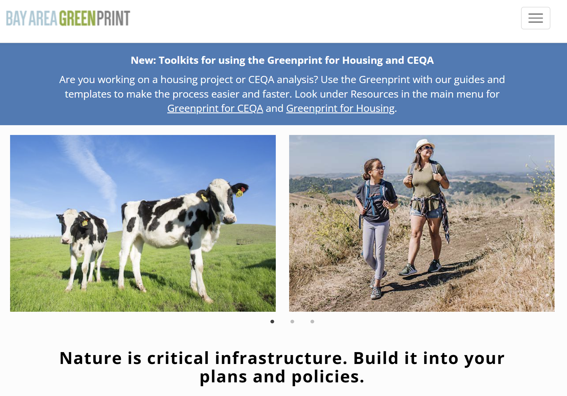
Bay Area Greenprint is a multi-year collaborative project created for TNC California alongside help from TOGETHER Bay Area, Greenbelt Alliance, and the American Farmland Trust California. It has grown into a website which provides a series of tools for reporting and analyzing various environmental factors across the Bay Area region.
Equitable park access research project
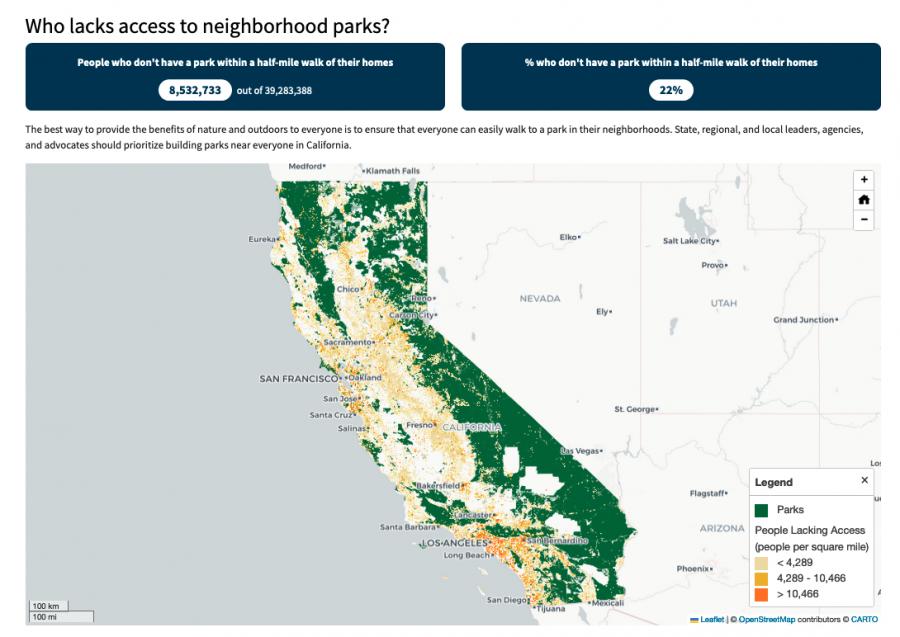
The Equitable Outdoor Access Research Project uses public data to map people and public parks and open spaces across six states (Arizona, California, Georgia, Montana, New Mexico and Washington). Across those states, we found that nearly 23 million people don’t have a neighborhood park within a 10-minute walk from their homes.

Intertidal Strategies design research
The California Department of Fish and Wildlife (CDFW) manages California’s diverse fish resources and habitats. One way the department collects data is the fishery logbook, a form where people record catches or attempts for specific fish species. Greeninfo was contacted by Intertidal Strategies, who partnered with CDFW in creating a more efficient logbook entry platform.
John Muir Trail Maps
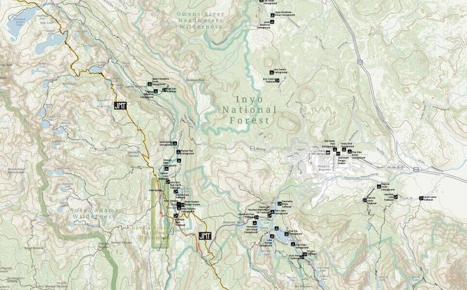
The John Muir Trail Foundation partnered with GreenInfo Network to create definitive poster and detail maps of the John Muir Trail. The 220-mile trail was established back in 1915 and stretches across the high Sierra Nevada of California.

Mapping California’s public lands
Before GreenInfo created the California Protected Areas Database, there was no single source of data about protected lands in California. Now, the database has become a national model and a foundation for a huge range of conservation and park equity work.
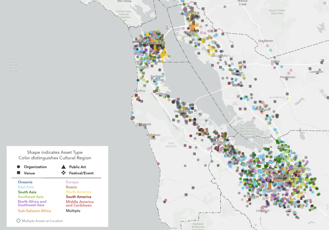
Mapping the Mosaic America atlas
The Mosaic Atlas is a project created by Mosaic America and San Jose State University to highlight culturally significant sites across the San Francisco Bay Area. Mosaic America came to Greeninfo to help visualize these locations on an interactive map,
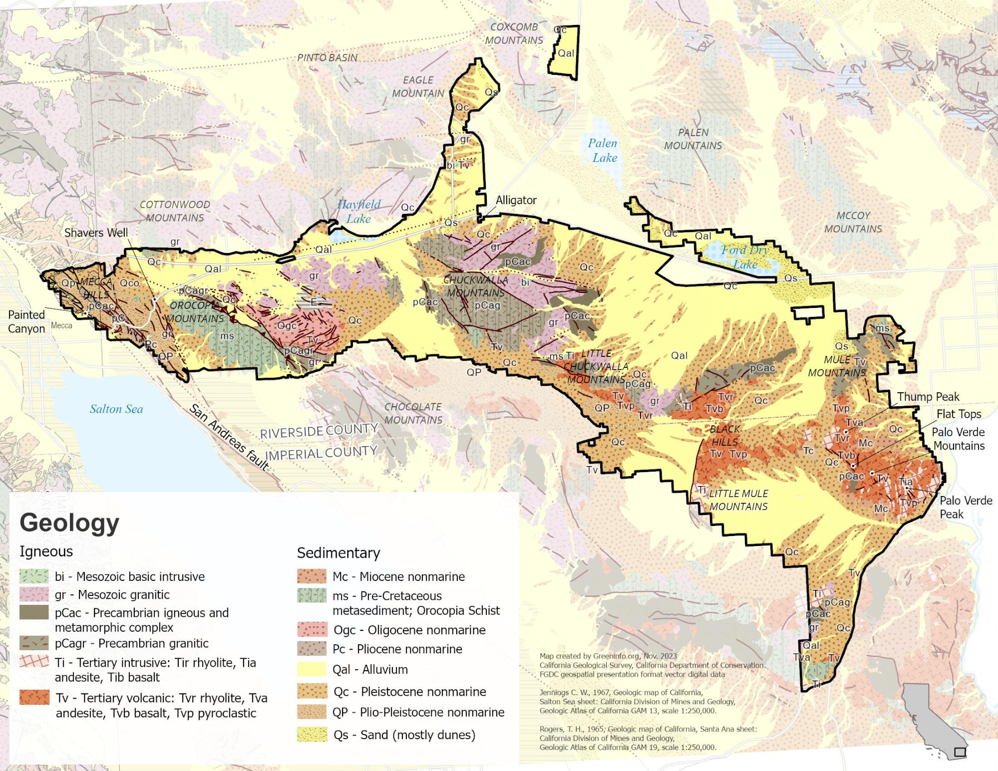
Mapping to Make Monuments
Our work with Tribes and conservation advocates in California was an essential part of campaigns that led to the designation of two new national monuments: Sattitla Highlands and Chuckwalla.
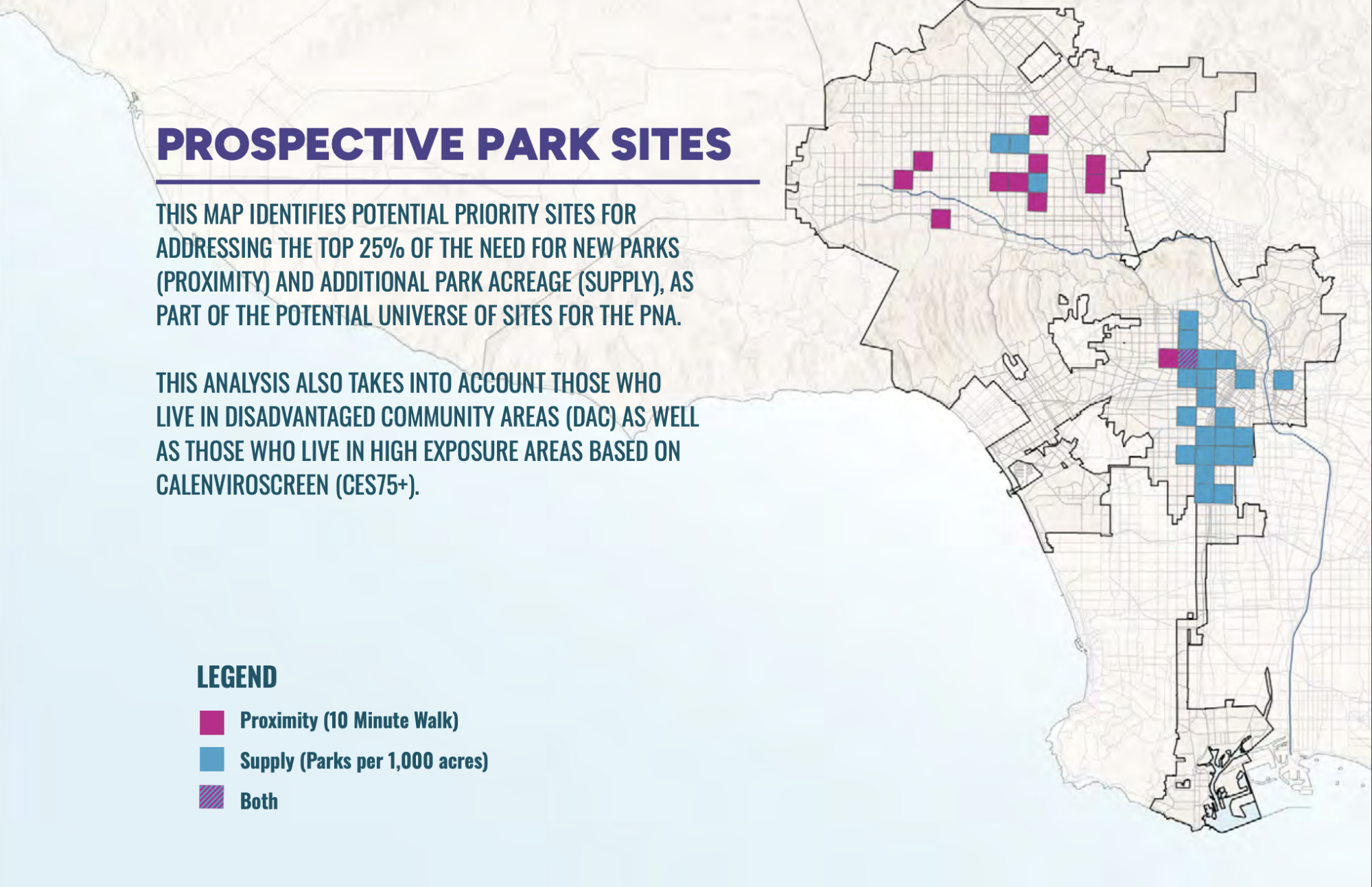
PerSquareMile data supports first park needs assessment in Los Angeles since 2009
In early 2025, the City of Los Angeles undertook its first Park Needs Assessment since 2009. GreenInfo joined the team to help determine where new parks would have the most impact. We developed the PerSquareMile tool with UCLA to select 36 locations where new parks would most benefit people who lack park access.
Read more about PerSquareMile data supports first park needs assessment in Los Angeles since 2009
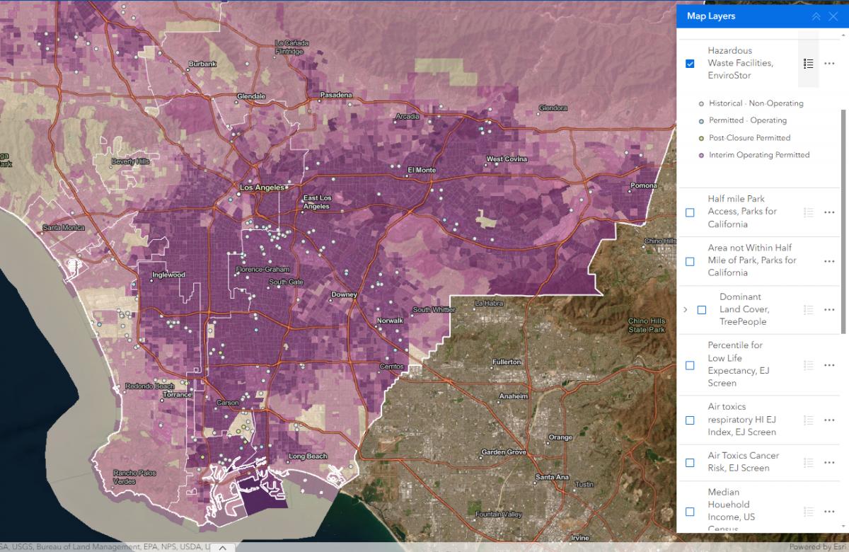
Powerbuilding with Maps
Prevention Institute’s People, Parks, and Power (P3) is the first national funding initiative in the U.S. to support powerbuilding by community-based organizations to reverse deep seated park and green space inequities in Black, Latino, and Indigenous communities across the country. GreenInfo Network was brought in to assist with our mapping expertise.
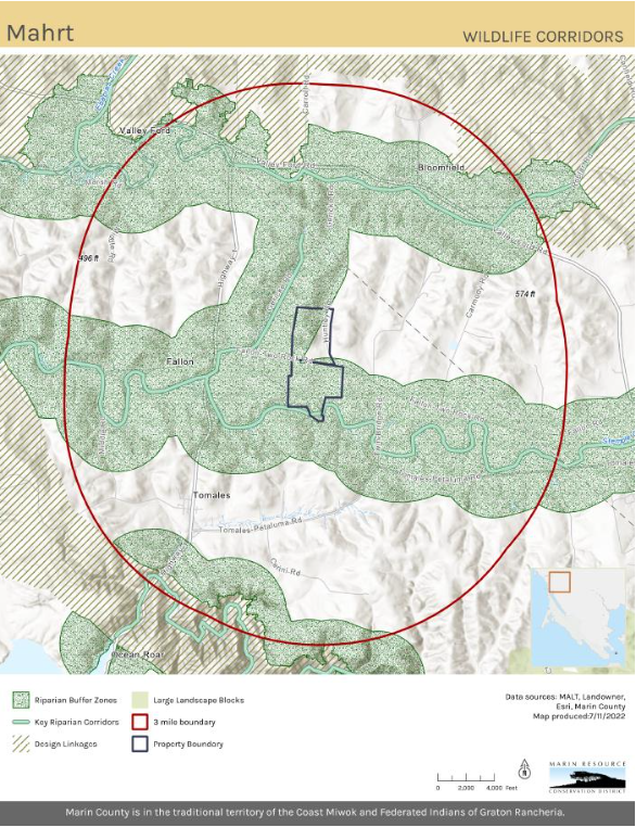
Updating Maps and Creating GIS Best Practices
Back in 2022, Marin Resource Conservation District (RCD) worked with GIN in developing and implementing a robust new GIS system. Over several months we did monthly training for ArcGIS Pro and data management. Collaboratively we consolidated and updated existing data into organized geodatabases.
Read more about Updating Maps and Creating GIS Best Practices