Portfolio
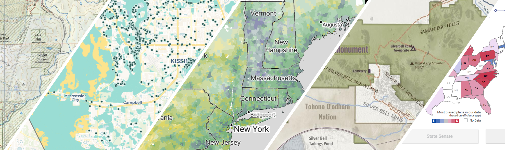
GreenInfo delivers user research, thoughtful design, and innovative technology. We create data, tools, and maps that are meaningful, accessible, usable, and impactful.
Equitable park access research project
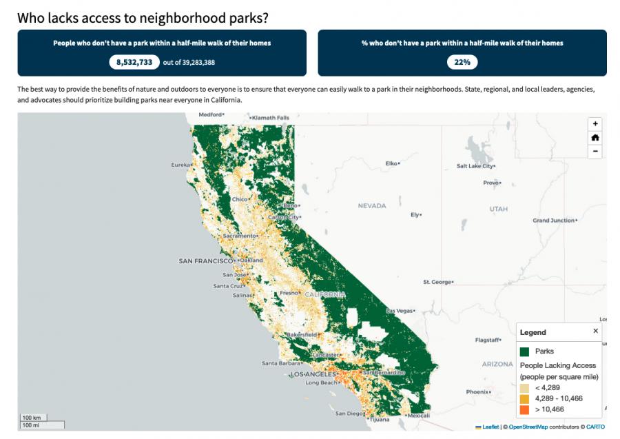
The Equitable Outdoor Access Research Project uses public data to map people and public parks and open spaces across six states (Arizona, California, Georgia, Montana, New Mexico and Washington). Across those states, we found that nearly 23 million people don’t have a neighborhood park within a 10-minute walk from their homes.
Mapping the Mosaic America atlas
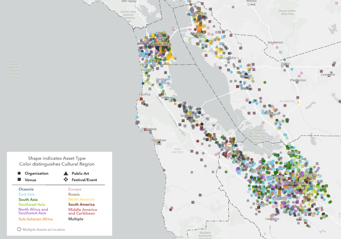
The Mosaic Atlas is a project created by Mosaic America and San Jose State University to highlight culturally significant sites across the San Francisco Bay Area. Mosaic America came to Greeninfo to help visualize these locations on an interactive map,
Reducing Wildfire in Marin County
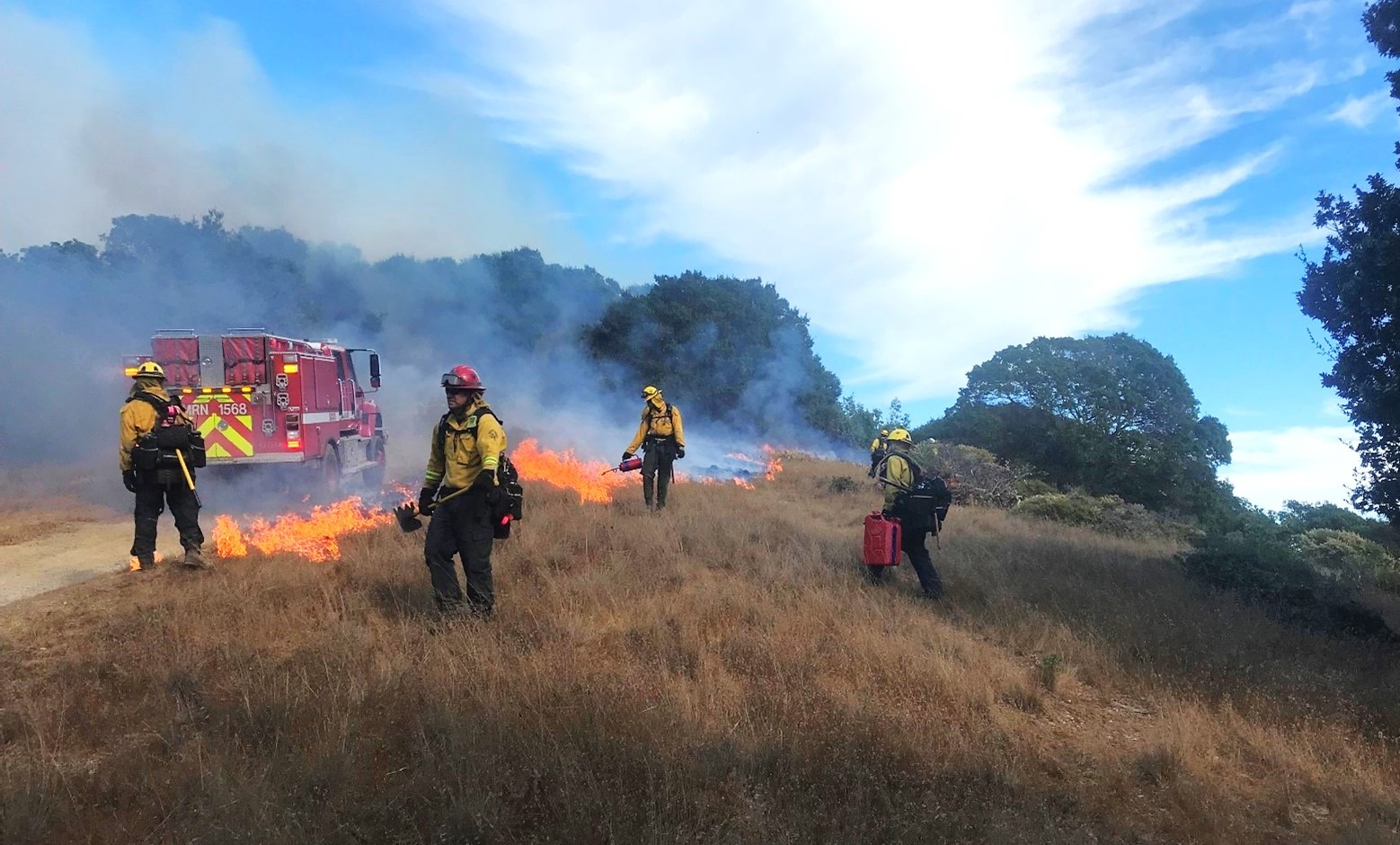
Wildfire is a fact of life in California. In 2000, Marin County residents voted to fund a new agency, the Marin Wildfire Prevention Authority, to chart a path to a fire-resilient future. We helped them build a mapping and data program to track their progress.