Portfolio
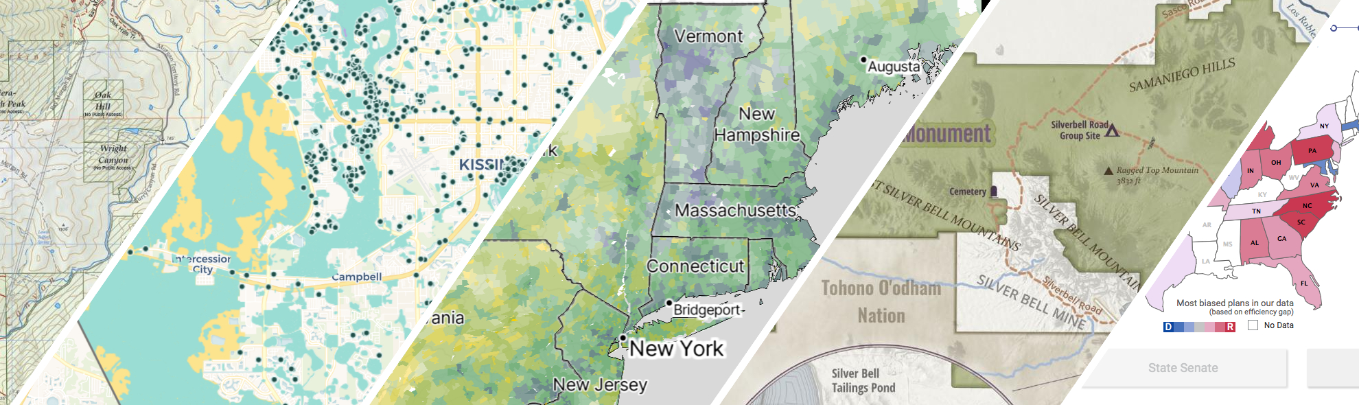
GreenInfo works on both a wide range of projects in the public interest and across many disciplines. We offer information design, cartographic, web design, design research, and accessibility services to partners working in conservation, social and environmental justice, public health, voting rights and democracy.
Expanded portfolio

Intertidal Strategies design research
The California Department of Fish and Wildlife (CDFW) manages California’s diverse fish resources and habitats. One way the department collects data is the fishery logbook, a form where people record catches or attempts for specific fish species. Greeninfo was contacted by Intertidal Strategies, who partnered with CDFW in creating a more efficient logbook entry platform.
John Muir Trail Maps
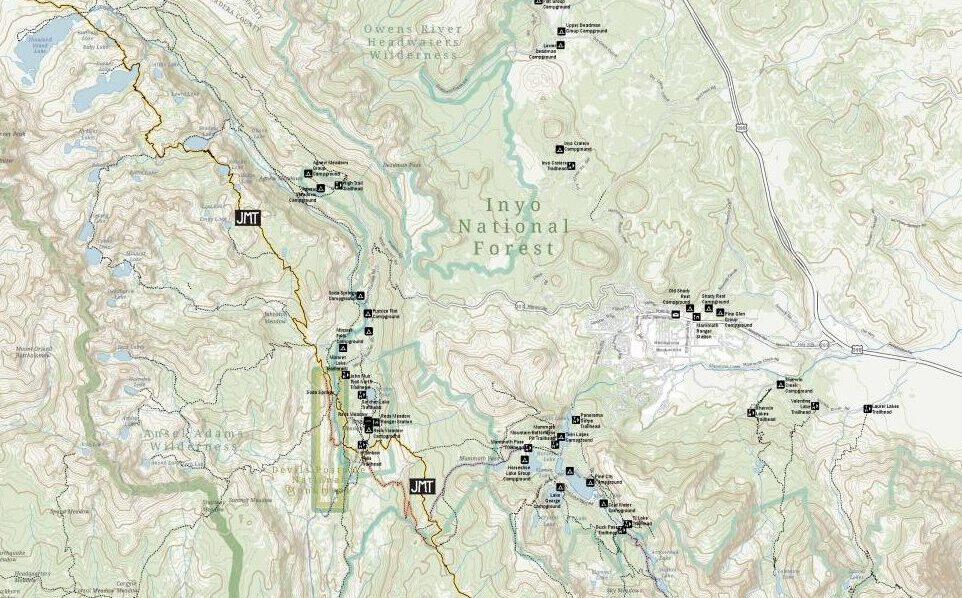
The John Muir Trail Foundation partnered with GreenInfo Network to create definitive poster and detail maps of the John Muir Trail. The 220-mile trail was established back in 1915 and stretches across the high Sierra Nevada of California.
Kelpwatch.org design and development
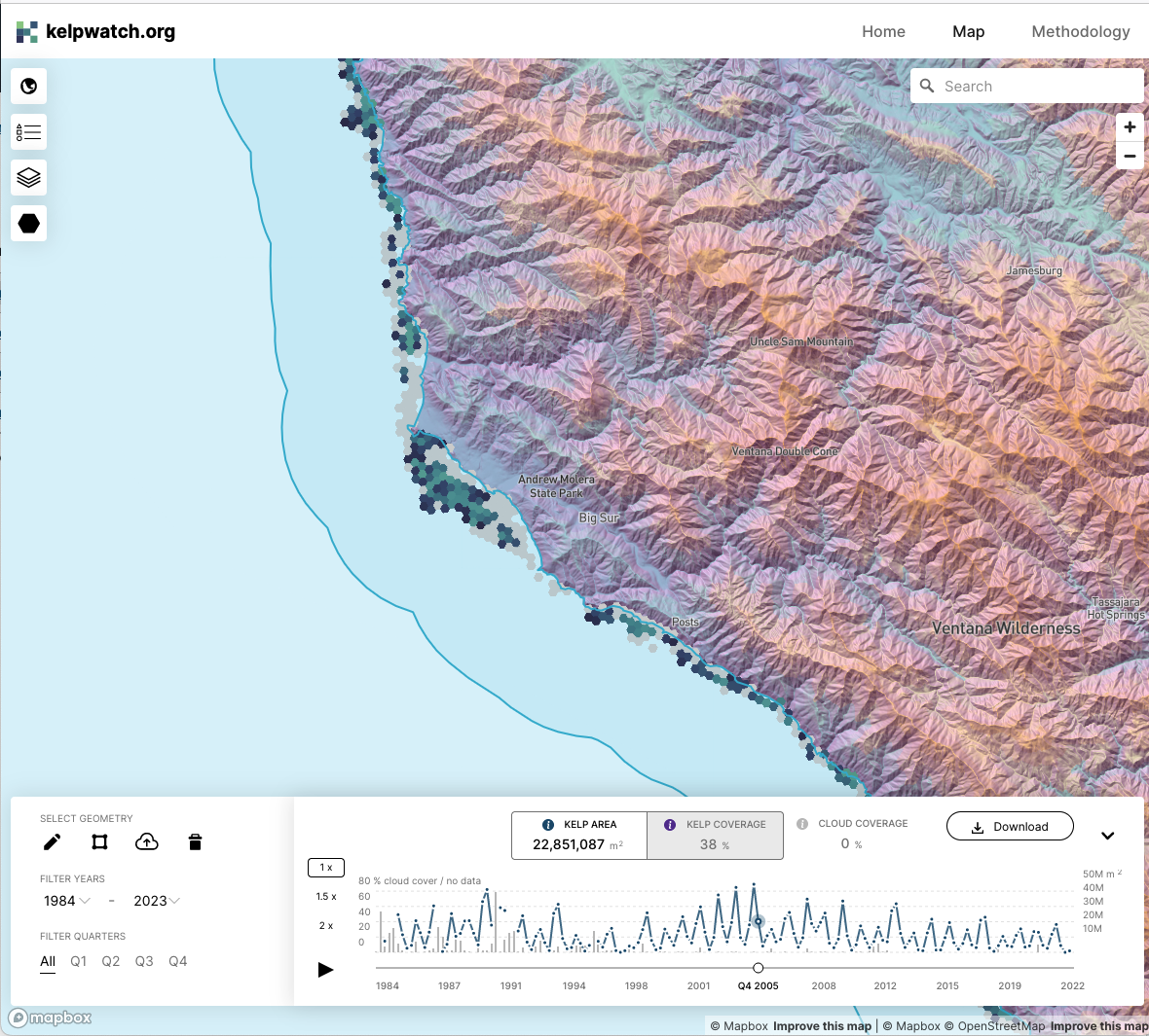
Working with academic and government partners, TNC staff had designed, built, and launched kelpwatch.org as an MVP demonstrating how earth observation data can be made actionable in California. They came to GreenInfo and we recruited help from our partners at Development Seed to grow the site into the world’s largest dynamic map of canopy-forming kelps.

Mapping California’s public lands
Before GreenInfo created the California Protected Areas Database, there was no single source of data about protected lands in California. Now, the database has become a national model and a foundation for a huge range of conservation and park equity work.
Mapping the Mosaic America atlas
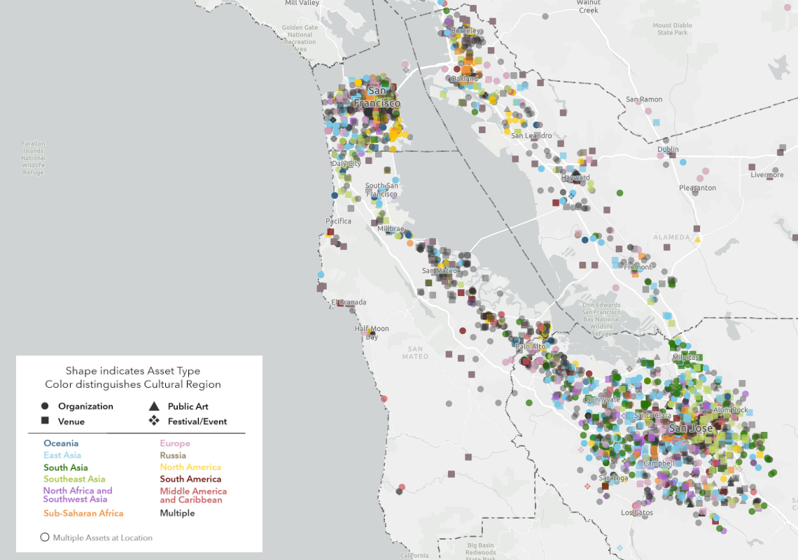
The Mosaic Atlas is a project created by Mosaic America and San Jose State University to highlight culturally significant sites across the San Francisco Bay Area. Mosaic America came to Greeninfo to help visualize these locations on an interactive map,
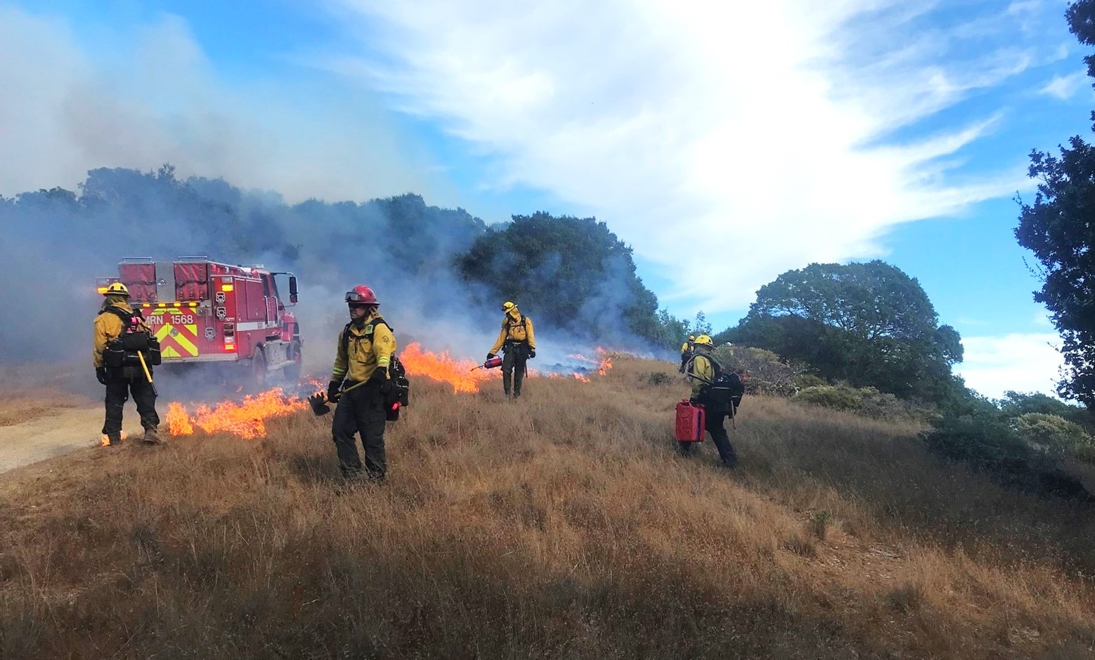
Reducing Wildfire in Marin County
Wildfire is a fact of life in California. In 2000, Marin County residents voted to fund a new agency, the Marin Wildfire Prevention Authority, to chart a path to a fire-resilient future. We helped them build a mapping and data program to track their progress.
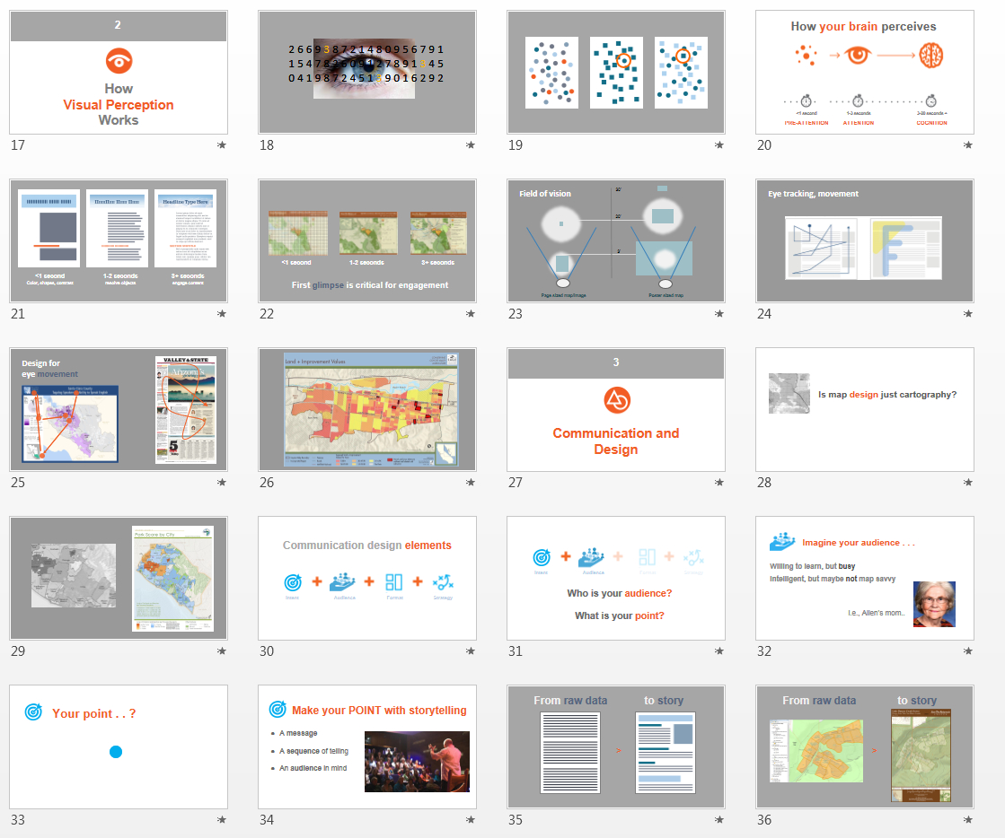
Visual Design Presentation
GreenInfo has long been supported by Esri, the leading GIS publisher, and its conservation program which donates ArcGIS software used heavily by GreenInfo. Ever year, Esri holds a major User Conference with over 15,000 GIS users, featuring hundreds of workshops and other learning sessions. Based on discussions between GreenInfo and Esri at the 2013 conference about the quality of maps being exhibited by users, Esri underwrote the development of a three part presentation series for 2014, co-created by GreenInfo and Esri staff which has been exhibited between the years 2014 to 2018.