Portfolio
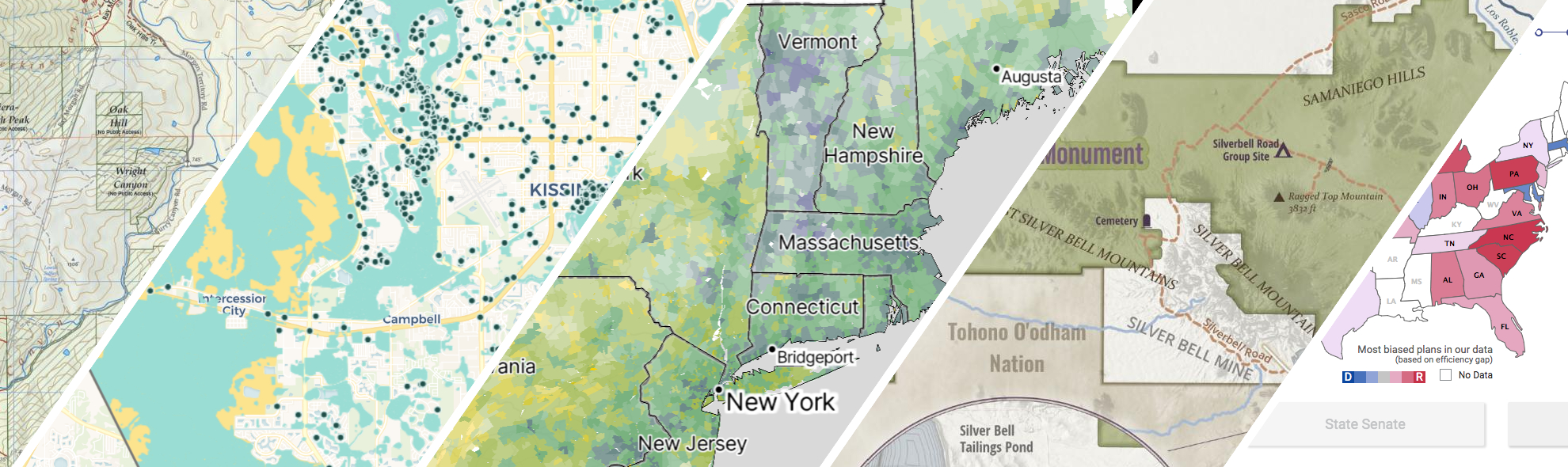
GreenInfo works on both a wide range of projects in the public interest and across many disciplines. We offer information design, cartographic, web design, design research, and accessibility services to partners working in conservation, social and environmental justice, public health, voting rights and democracy.
Expanded portfolio
A crowdsourced zoning map for the nation
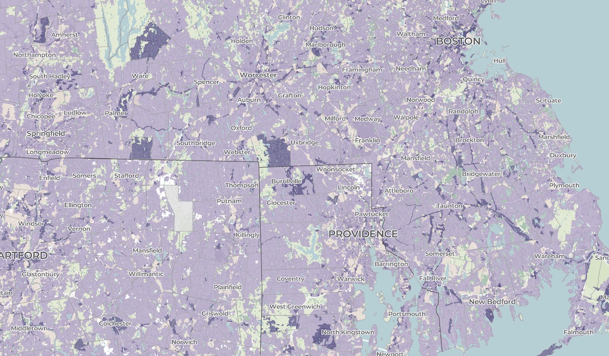
Zoning laws dictate much of what can be built in communities across the United States. But the details of the laws are often locked in lengthy and complicated PDF documents. The National Zoning Atlas crowdsources these incredibly influential laws by depicting their key attributes in an online, user-friendly map.
A cultural atlas of the LA River
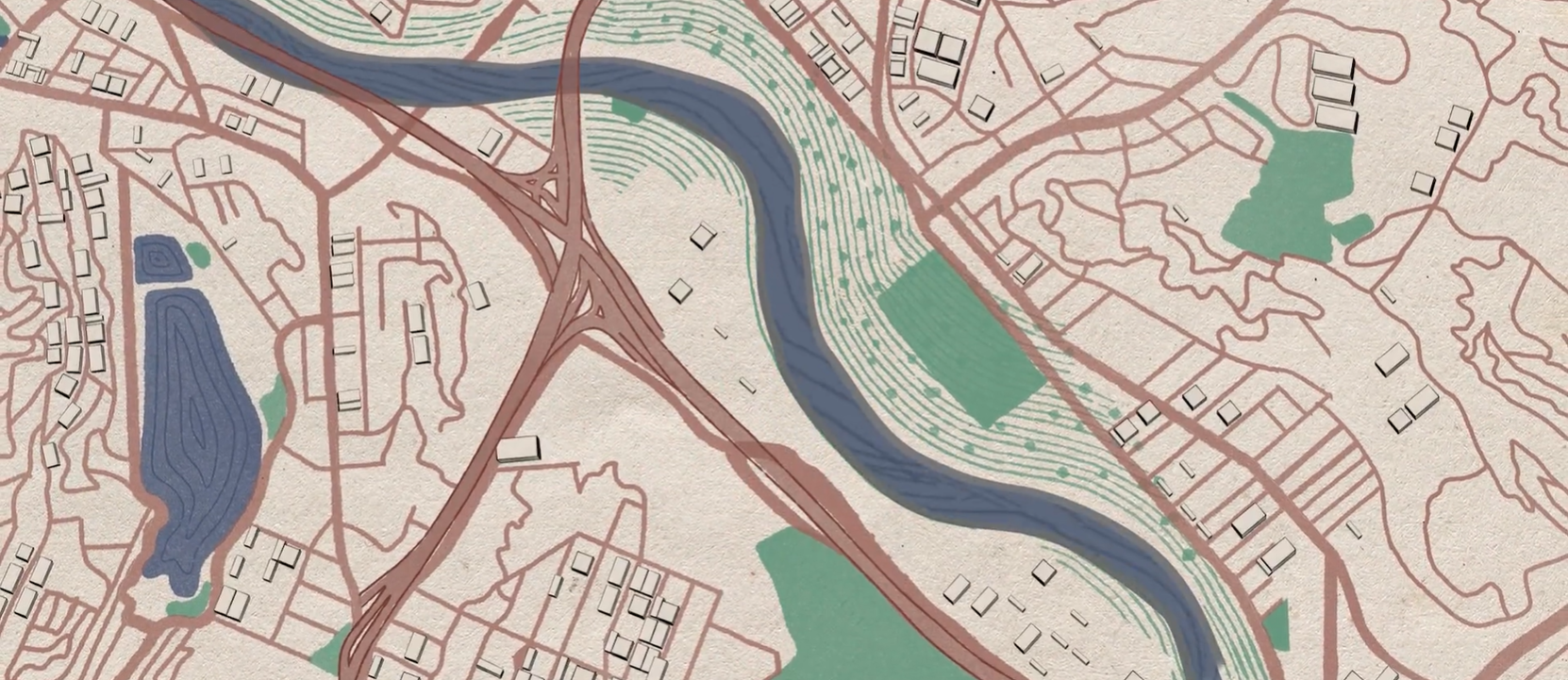
Take Me to Your River: A Cultural Atlas of the LA River is a three-year project initiated by the Los Angeles-based arts organization Clockshop with a mapping component done in collaboration with Greeninfo Network.
Kelpwatch.org design and development
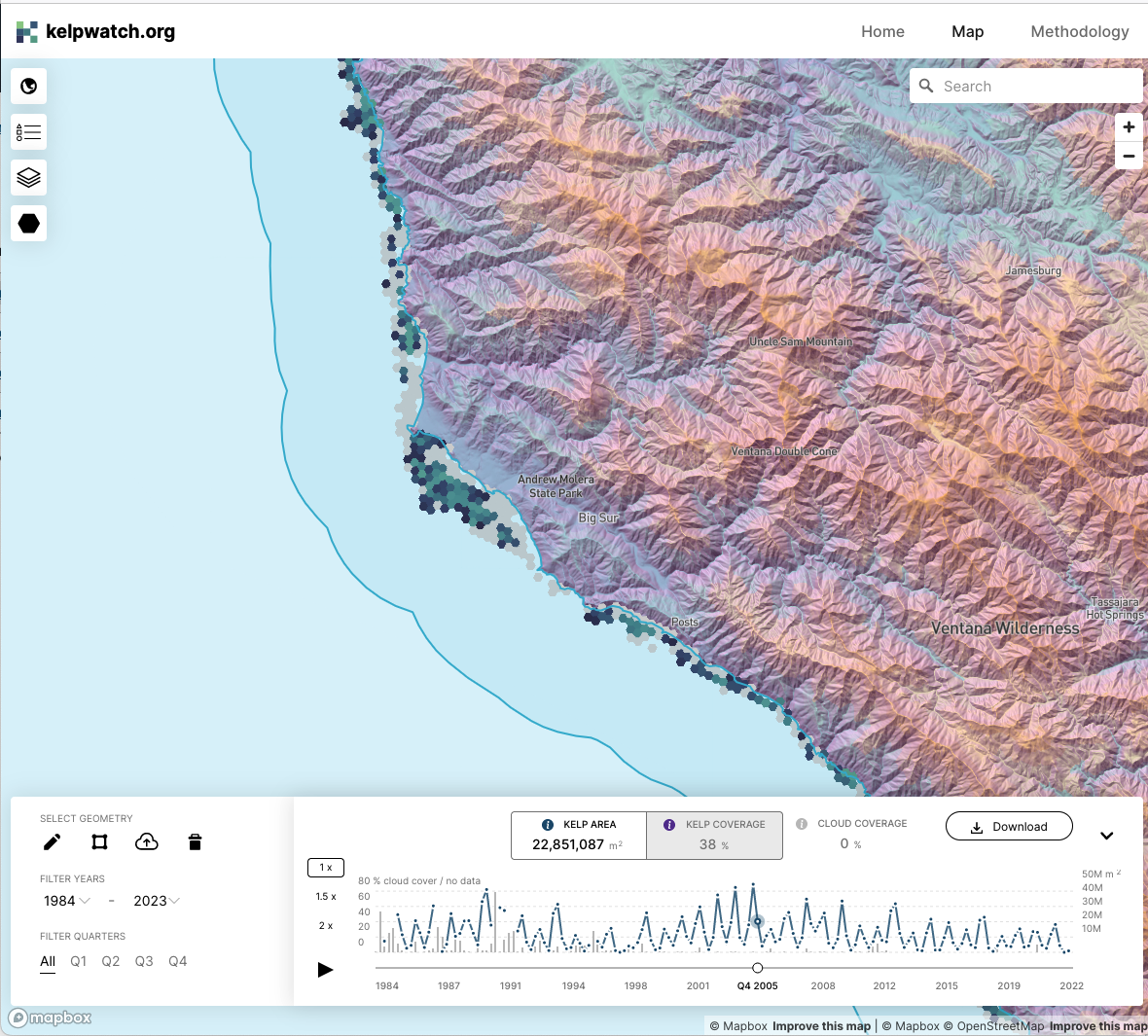
Working with academic and government partners, TNC staff had designed, built, and launched kelpwatch.org as an MVP demonstrating how earth observation data can be made actionable in California. They came to GreenInfo and we recruited help from our partners at Development Seed to grow the site into the world’s largest dynamic map of canopy-forming kelps.

Mapping California’s public lands
Before GreenInfo created the California Protected Areas Database, there was no single source of data about protected lands in California. Now, the database has become a national model and a foundation for a huge range of conservation and park equity work.
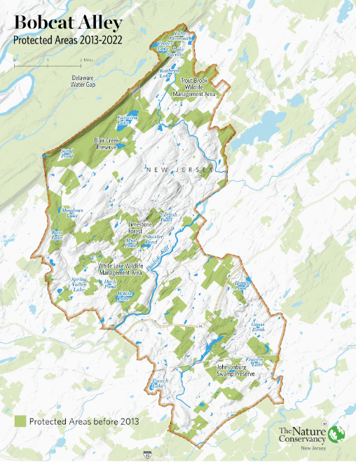
Showcasing Important Migration Routes
Within New Jersey is Bobcat Alley, a 96,000 acre wildlife corridor managed by The Nature Conservancy New Jersey to assist in the recovery of the bobcat population. TNC NJ partnered with Greeninfo Network to create a set of maps whose purpose was to (1) promote Bobcat Alley and (2) to visually map the migration routes of bobcats within the area.