Updating Maps and Creating GIS Best Practices
Marin Resource Conservation District
GreenInfo team: Maegan Leslie Torres
Project years: 2022
Tags: Communications Conservation Environment GIS Services Graphic Design Publications Recreation
Overview
What challenges is this project trying to solve?
- Spatial analysis has its place in the field of conservation, and Marin Resource Conservation District found a need to implement this approach into their work
What were the client’s objectives?
- Their objective was to implement GIS into their pre-existing systems and to organize data into geodatabases.
Results
- Greeninfo created a series of monthly trainings for Marin Resource Conservation District
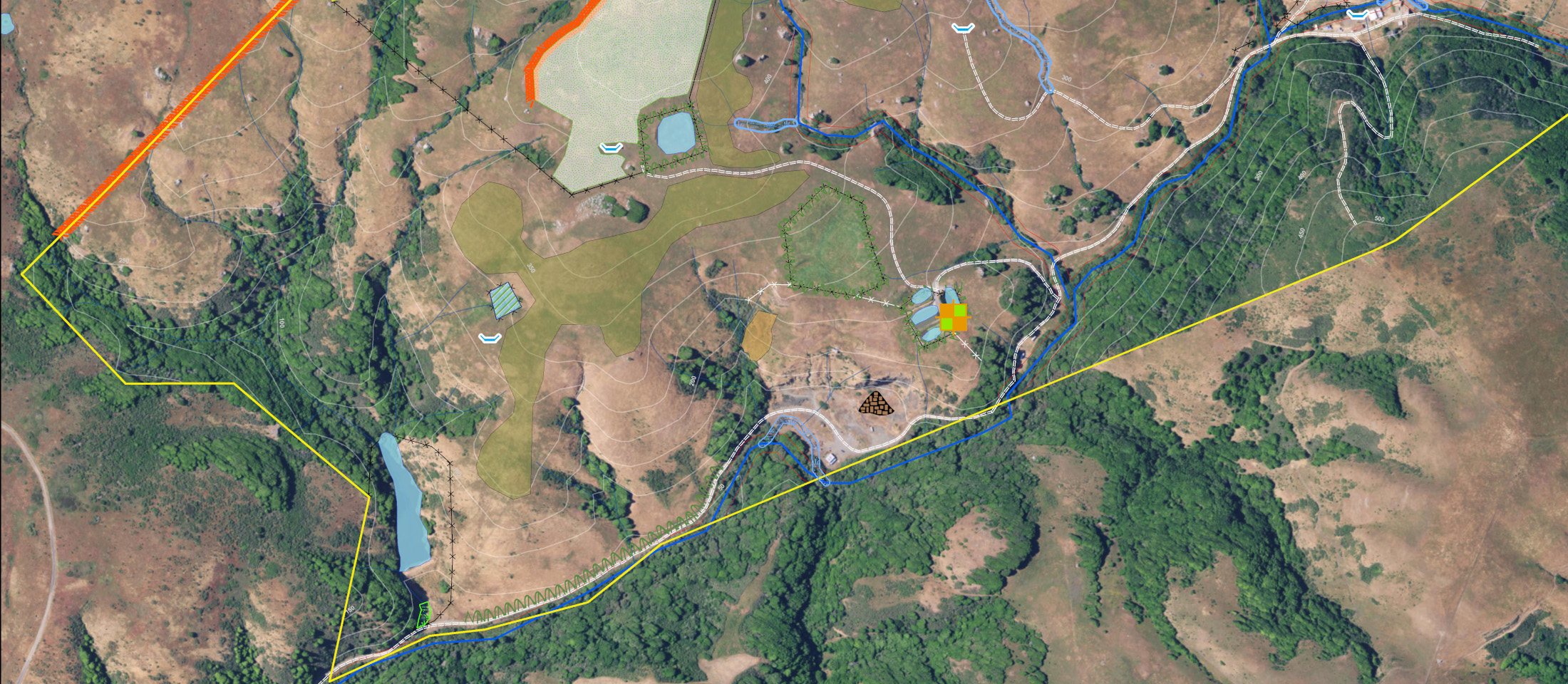
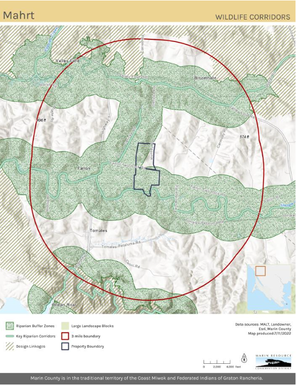
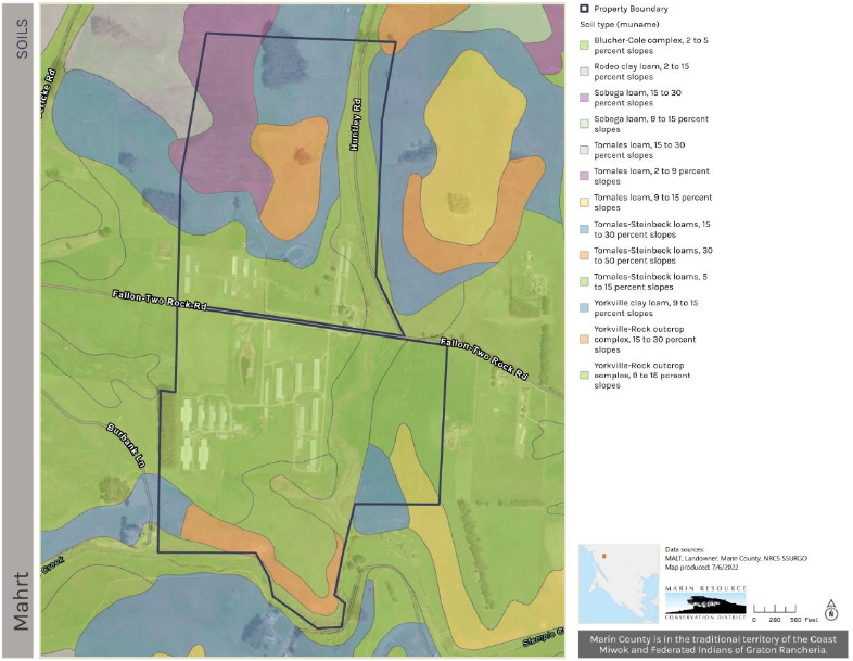
- Over the course of several months, Greeninfo produced a GIS Best Practices guide for Marin RCD staff and designed a template for their Carbon Farm Plan maps
The Work
Background
Marin Resource Conservation District (RCD) worked with GIN in developing and implementing a robust new GIS system. Over several months we did monthly training for ArcGIS Pro and data management. Collaboratively we consolidated and updated existing data into organized geodatabases. We created templates for their Carbon Farm Plan maps and a style file symbology for consistency across the program. Lastly, we created a GIS Best Practice guide that highlighted the new data structure, templates, styles as well as key functions performed by Marin RCD GIS staff.