Conservation Lands Network 2.0
TOGETHER Bay Area
GreenInfo team: Amanda Kochanek, Dan Rademacher, Gregor Allensworth
Project years: 2016-2020
Tags: Applications Development Conservation Environment Interactive Solutions Strategy Web Mapping
Overview
What challenges is this project trying to solve?
- In order to conserve 2.5 million acres of priority lands by the year 2050, it will require us set up long-term strategies that involve experts in various fields to meet those goals.
- Effective regional conservation and habitat protection strategies must be considerate of the diverse range of habitats and environmental factors within a local region
- Create a list of actionable goals that allow us to meet our conservation goals
What were the client’s objectives?
- Create a flagship Bay Area regional conservation plan that include recommendations for adapting to and mitigating climate change.
- Conserve rare, diverse, and irreplaceable landscapes, and manage them for health and resilience.
- Identify crucial habitats, streams, wetlands, ponds, seeps, and associated riparian and upland areas to manage for health and ecosystem resilience.
Results
- An overhaul update on Conservation Lands Network from 1.0 to 2.0, which includes setting clear and measurable goals for habitat protection and resilience.
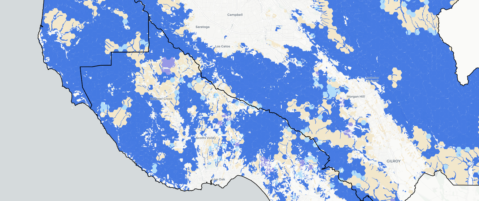
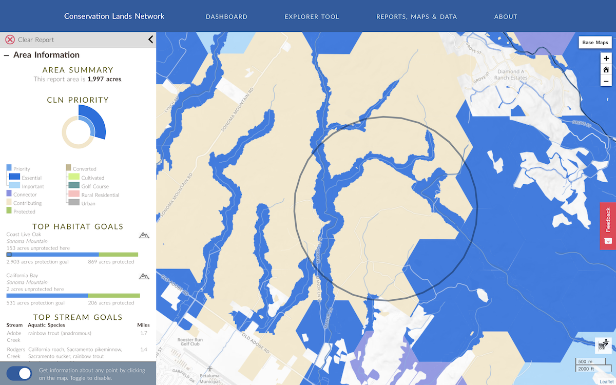
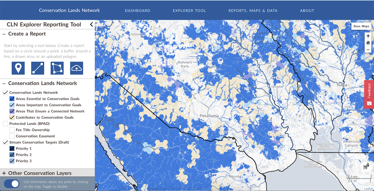
- The addition of Conservation Lands Network 2.0 Explorer tool, a geospatial tool that highlights actionable conservation goals within ten California counties, with a primary focus on the Bay Area.
- A visual dashboard on the CLN 2.0 website to track our progress in reaching conservation goals.
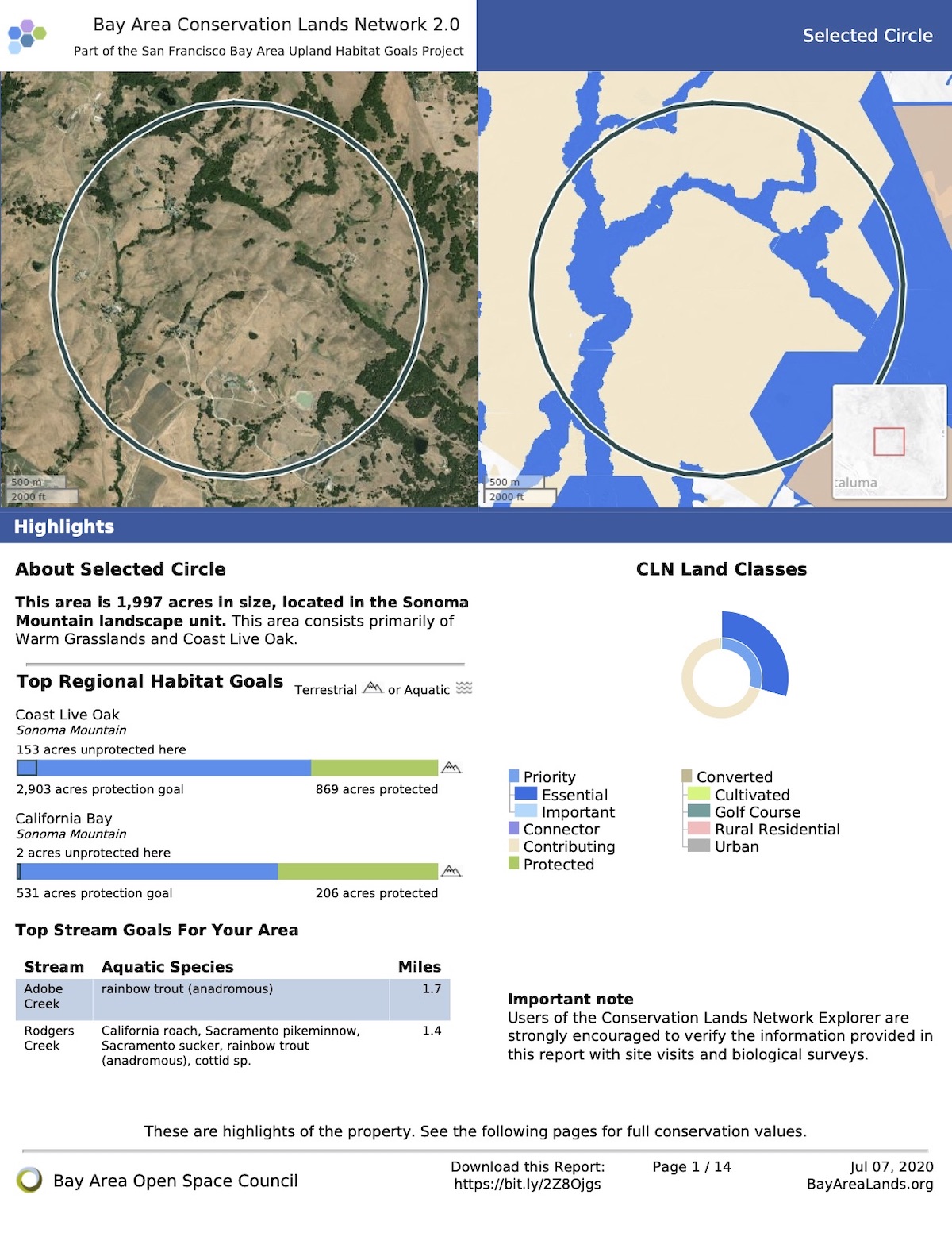
- A series of reports and updates which highlight local and regional progress in a concise manner.
The Work
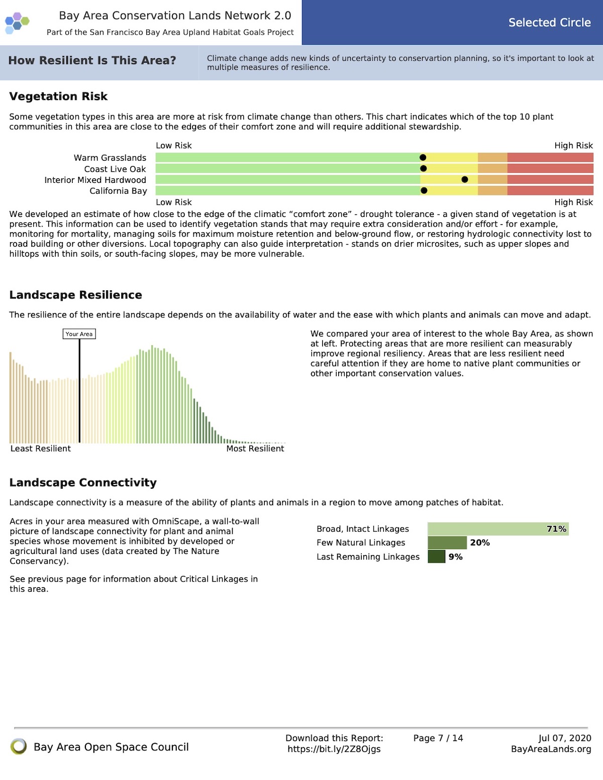
Working closely with TOGETHER Bay Area (formerly the Bay Area Open Space Council), we worked to completely update and relaunch the Conservation Lands Network and associated web tools. This foundational dataset has been a key guide for regional conservation funding and habitat protection for more than a decade. The update included a complete rerunning of the underlying analysis and an extensive reimagining of the online Explorer tool and the Conservation Portfolio report.