John Muir Trail Maps
John Muir Trail Foundation
GreenInfo team: Larry Orman
Project years: 2018
Tags: Applications Development Environment Government Agencies Interactive Solutions Recreation Website Design
Overview
What challenges is this project trying to solve?
- The John Muir Trail Foundation needed maps that could compare the present-day John Muir Trail with the trail's historic alignment
What were the client’s objectives?
- Creating a definitive poster and detail maps of the entire 220-mile-long John Muir Trail (est. 1915)
Results
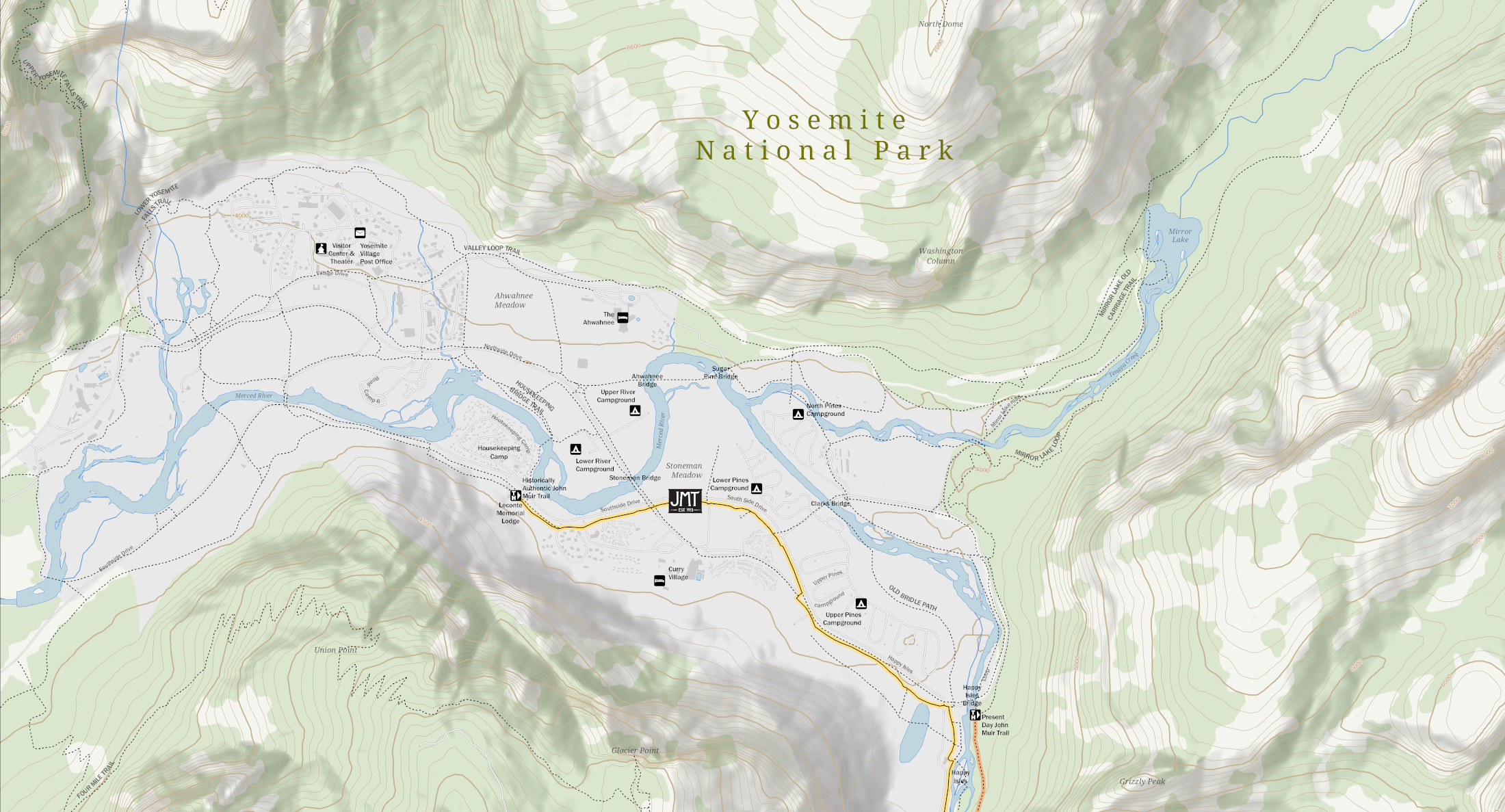
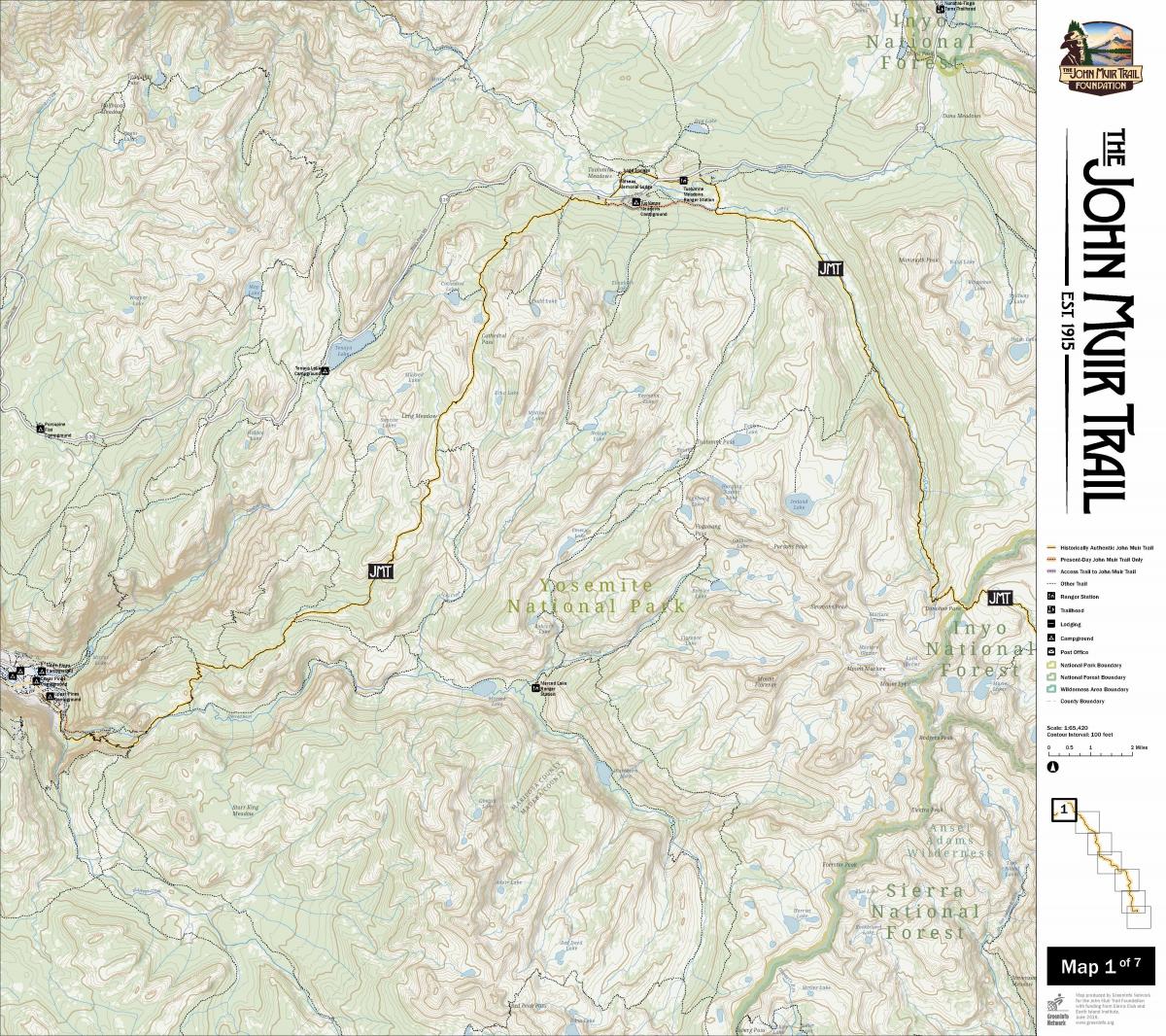
- A set of trail maps, including a series of 7 24"x27" detail maps, a special 24"x27" inset map of Yosemite Valley, and a 20"x36" poster of the entire trail
The Work
Background
The John Muir Trail Foundation was formed in 2018 to the conserve the John Muir Trail (est. 1915) for people to enjoy for the centuries to come by caring for the wilderness, wildlife and waters along its path in the high Sierra Nevada of California. The foundation came to GreenInfo for help creating definitive poster and detail maps of the entire 220-mile-long trail. Along with a large-scale poster, we created a set of seven detail maps, with highly refined cartography and prominent use of the foundation’s branding. These maps are detailed enough for planning purposes and beautiful enough for visual communications, a balance we strive for in much of our cartographic work.