Portfolio
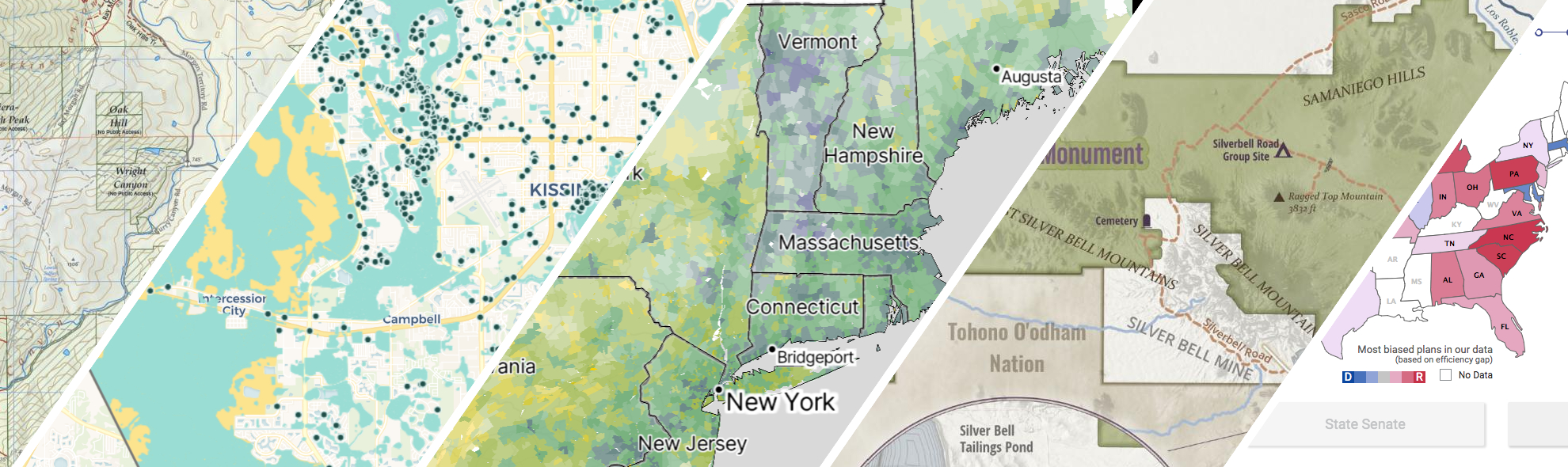
GreenInfo works on both a wide range of projects in the public interest and across many disciplines. We offer information design, cartographic, web design, design research, and accessibility services to partners working in conservation, social and environmental justice, public health, voting rights and democracy.
Expanded portfolio
A cultural atlas of the LA River
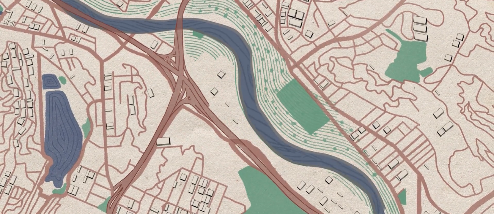
Take Me to Your River: A Cultural Atlas of the LA River is a three-year project initiated by the Los Angeles-based arts organization Clockshop with a mapping component done in collaboration with Greeninfo Network.
All About Redistricting
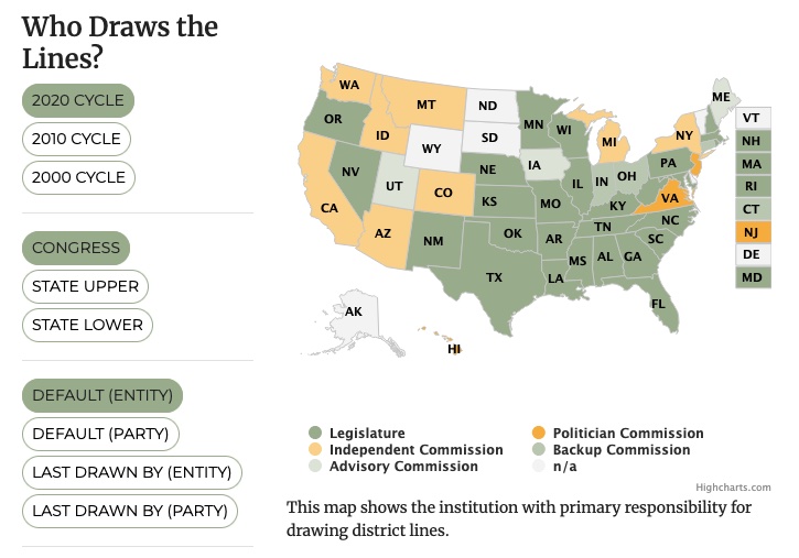
Every 10 years, the geographic boundaries that define our democracy are redrawn. It’s an obscure but very important process. And it can be done fairly — or not. Legal Scholar Justin Levitt is a nationally known expert on redistricting, and we helped create the online home of his All About Redistricting project.
Bay Area Greenprint application
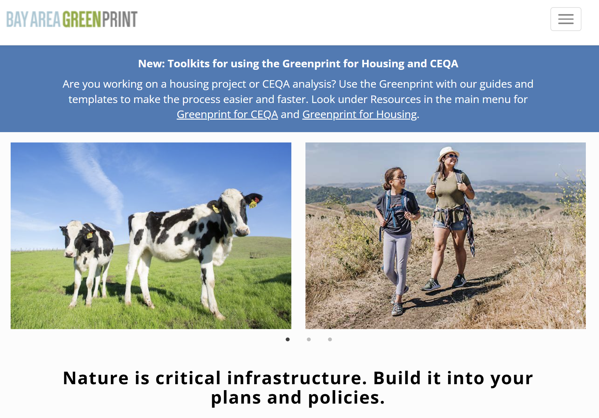
Bay Area Greenprint is a multi-year collaborative project created for TNC California alongside help from TOGETHER Bay Area, Greenbelt Alliance, and the American Farmland Trust California. It has grown into a website which provides a series of tools for reporting and analyzing various environmental factors across the Bay Area region.
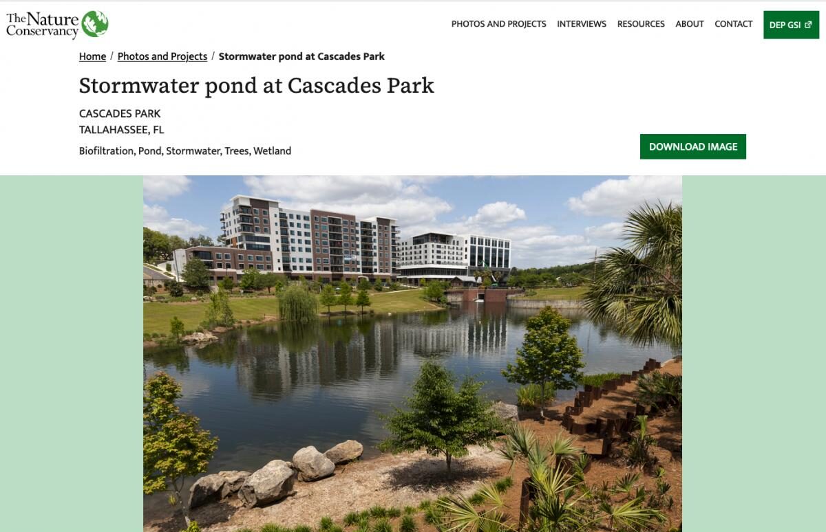
Florida green stormwater infrastructure photo library
TNC Florida parterned with Greeninfo to create an interactive library that advocates for and showcases the positive impacts of Green Stormwater Infrastructures with concrete examples that make the case for more sustainable stormwater management Resulting from this work is a public website that includes a photo search and project search, along with key facts about each project with the purpose of educating and promoting Green Stormwater Infrastructures.
Read more about Florida green stormwater infrastructure photo library
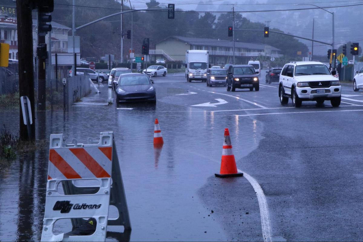
Helping transportation planners adapt to sea level rise
San Francisco Bay Area roads are at risk from sea level rise. In Marin County, major highways often run on low-lying lands that were once marshes. Marin County’s Public Works Department wanted to provide data about sea level rise to planners and engineers who work on road projects. GreenInfo Network and Tom Robinson Consulting built Marin County’s Resilient Roads application for that purpose.
Read more about Helping transportation planners adapt to sea level rise

Intertidal Strategies design research
The California Department of Fish and Wildlife (CDFW) manages California’s diverse fish resources and habitats. One way the department collects data is the fishery logbook, a form where people record catches or attempts for specific fish species. Greeninfo was contacted by Intertidal Strategies, who partnered with CDFW in creating a more efficient logbook entry platform.
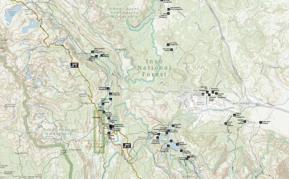
John Muir Trail Maps
The John Muir Trail Foundation partnered with GreenInfo Network to create definitive poster and detail maps of the John Muir Trail. The 220-mile trail was established back in 1915 and stretches across the high Sierra Nevada of California.
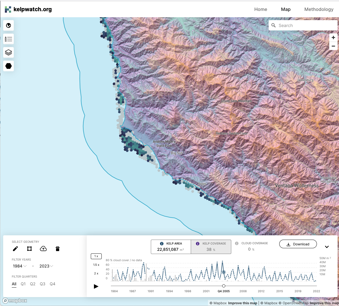
Kelpwatch.org design and development
Working with academic and government partners, TNC staff had designed, built, and launched kelpwatch.org as an MVP demonstrating how earth observation data can be made actionable in California. They came to GreenInfo and we recruited help from our partners at Development Seed to grow the site into the world’s largest dynamic map of canopy-forming kelps.
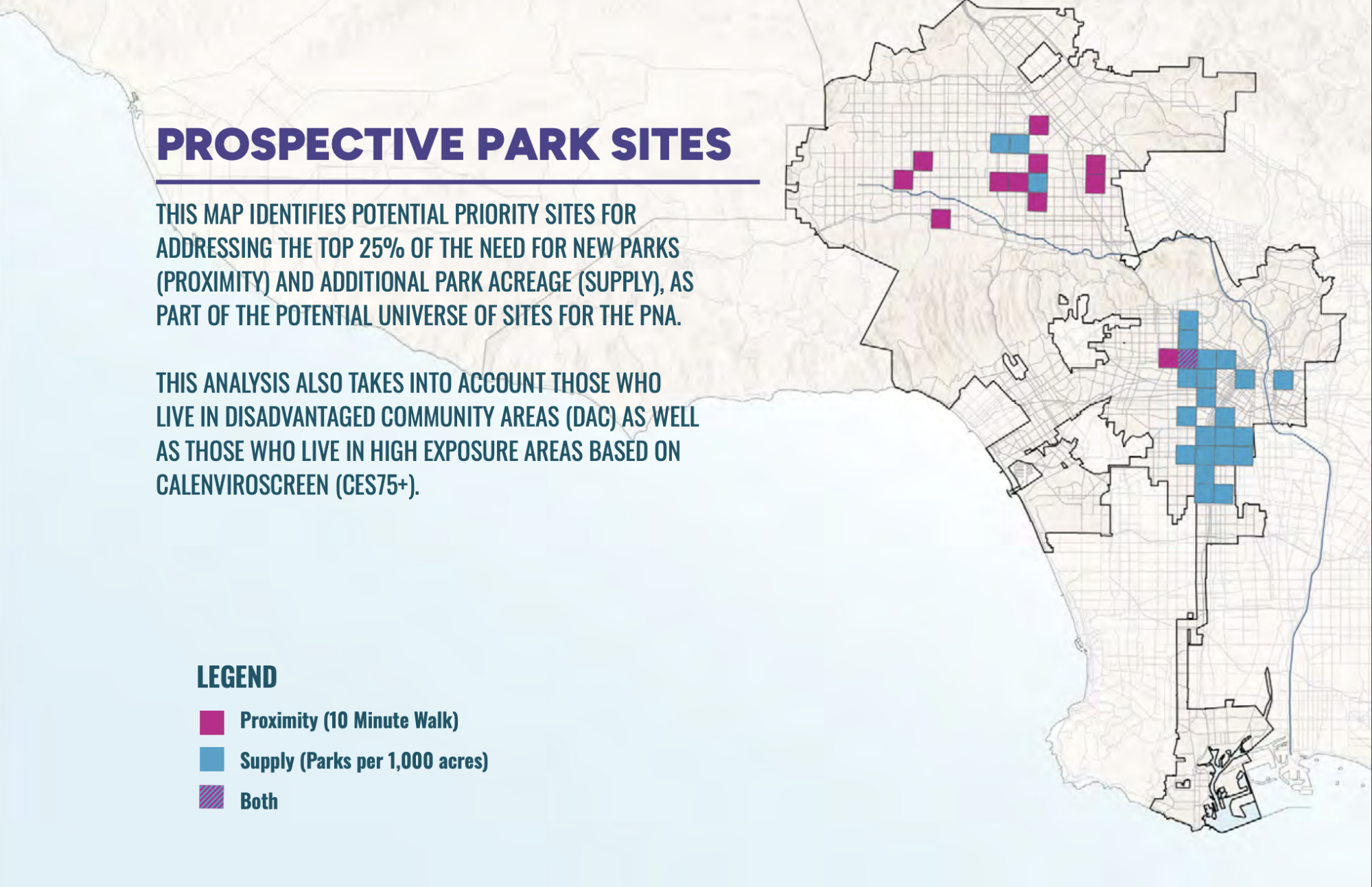
PerSquareMile data supports first park needs assessment in Los Angeles since 2009
In early 2025, the City of Los Angeles undertook its first Park Needs Assessment since 2009. GreenInfo joined the team to help determine where new parks would have the most impact. We developed the PerSquareMile tool with UCLA to select 36 locations where new parks would most benefit people who lack park access.
Read more about PerSquareMile data supports first park needs assessment in Los Angeles since 2009