Portfolio
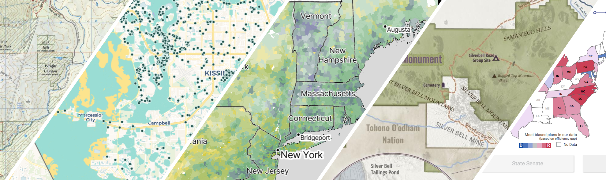
GreenInfo works on both a wide range of projects in the public interest and across many disciplines. We offer information design, cartographic, web design, design research, and accessibility services to partners working in conservation, social and environmental justice, public health, voting rights and democracy.
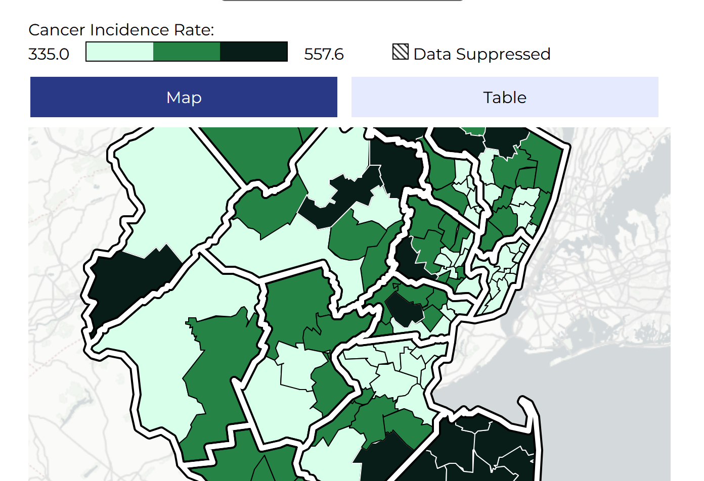
Making New Jersey’s cancer map more accessible
GreenInfo Network helped the New Jersey State Cancer Registry make its interactive cancer map more accessible, with clearer controls, stronger visual contrast, and new ways to explore data beyond the map. Building on a mapping platform we developed several years earlier, we refreshed the interface, added alternatives to visual displays, and expanded the data people can explore.
Read more about Making New Jersey’s cancer map more accessible
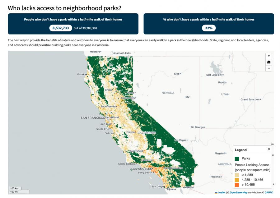
Equitable park access research project
The Equitable Outdoor Access Research Project uses public data to map people and public parks and open spaces across six states (Arizona, California, Georgia, Montana, New Mexico and Washington). Across those states, we found that nearly 23 million people don’t have a neighborhood park within a 10-minute walk from their homes.
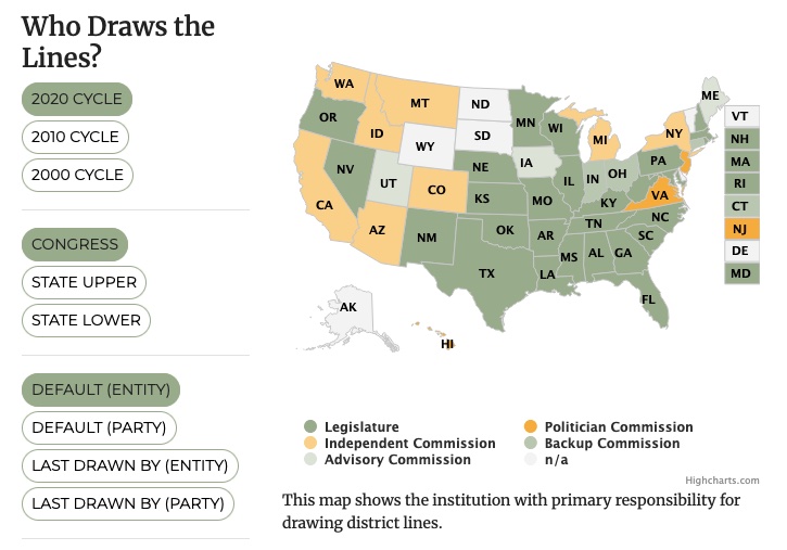
All About Redistricting
Every 10 years, the geographic boundaries that define our democracy are redrawn. It’s an obscure but very important process. And it can be done fairly — or not. Legal Scholar Justin Levitt is a nationally known expert on redistricting, and we helped create the online home of his All About Redistricting project.
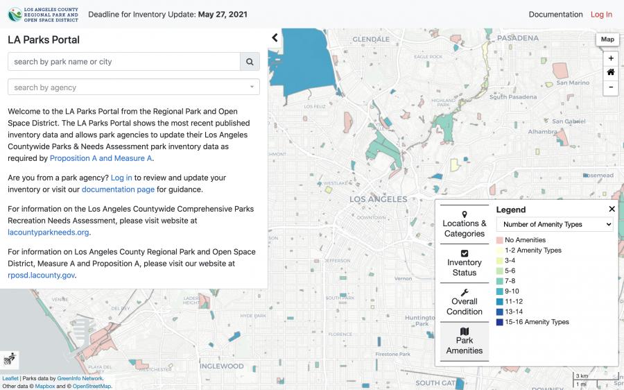
An inventory of parks for Los Angeles County
With the passing of the 2016 Measure A (Safe, Clean Neighborhood Parks and Benches Measure) came a greater need to organize and inventory the various parks across in LA County. Greeninfo partnered with Los Angeles Regional Park and Open Space District to create a portal where various agencies can update their data in a streamlined environment in accordance with this new demand.
Read more about An inventory of parks for Los Angeles County