Mapping California’s Public Lands
California Natural Resources Agency
GreenInfo team: Amanda Kochanek, Andrew Nham, Dan Rademacher, Dariya Draganova, Gregor Allensworth, Jayita Bhojwani, Joseph Stout, Tim Sinnott, Tom Allnutt
Project years: 2008 to present
Overview
What challenges is this project trying to solve?
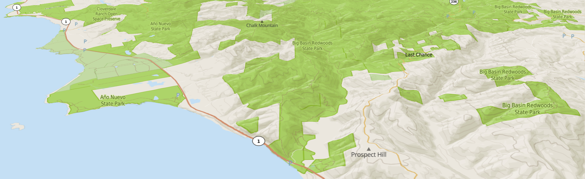
- There was no single source of all public lands in California.
- Data about the location of parks and other public open spaces was scattered across hundreds of agencies across the state.
- The boundaries, ownership, and status of public open space lands change over time, so data that’s accurate today may not be in a year or a decade.
What were the client’s objectives?
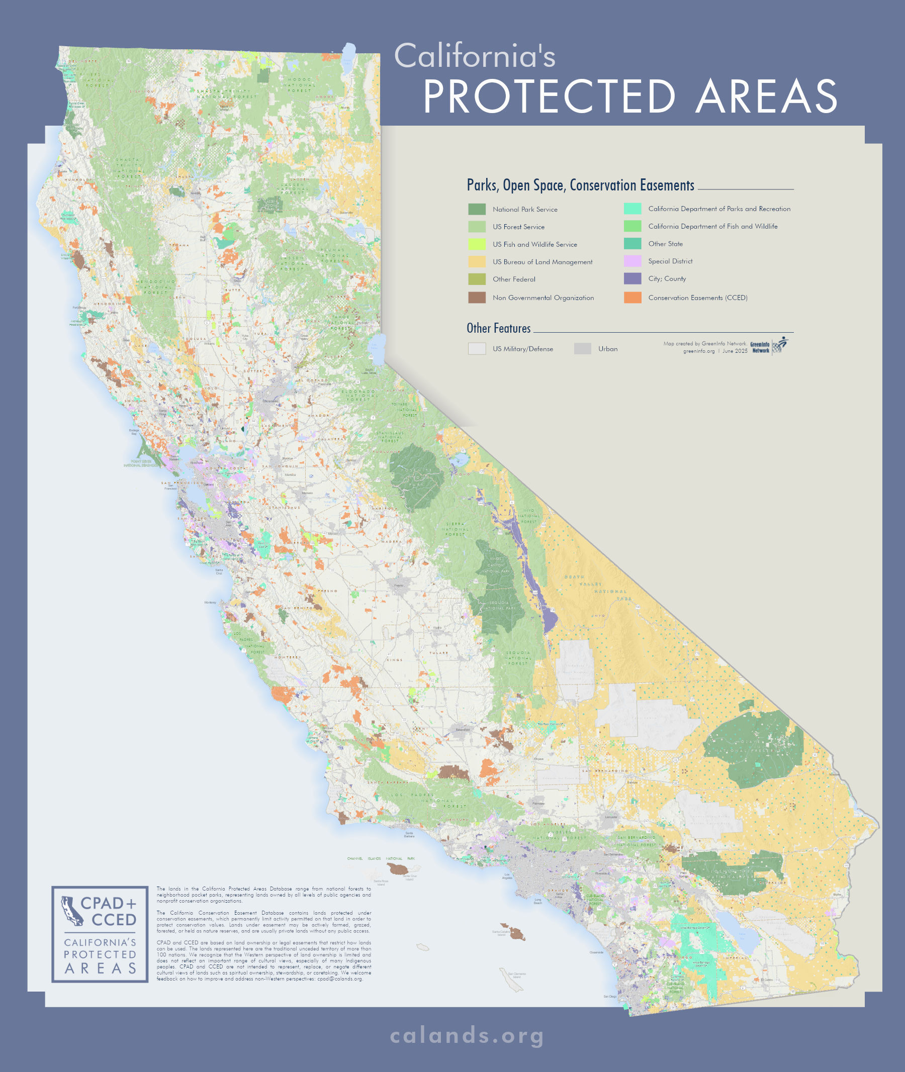
- To create the California Protected Areas Database (CPAD) as a reliable, up-to-date source of data about lands owned for open space or recreational use.
- To create the California Conservation Easements Database (CCED) to track conservation easements, which restrict allowable activities to protect biodiversity or other conservation values.
Results
- CPAD and CCED have become the go-to sources for any projects that involve public lands and conservation, recreation, or access to nature and the outdoors.
- We have published dozens of releases of both datasets since 2008.
The Work
The History
No work is more foundational to GreenInfo Network’s history than our public lands mapping in California. We first released a statewide version of the California Protected Areas Database (CPAD) in 2008, but we were building toward that since our founding in 1996. We began in the Bay Area, expanded to Los Angeles, and finally achieved enough coverage for a statewide release in 2008. Since then, we have consistently maintained and updated the data on an annual or semiannual basis. Along the way, we also created and now maintain the California Conservation Easements Database (CCED).
The work has been supported by main entities, including foundations, other nonprofits, and government agencies. In 2016, we received direct support from the California Natural Resources Agency for the first time, which has provided foundational support that ensures both datasets remain current and robust.
Long-term Support for Complex Data
To maintain the databases, our team works across a range of disciplines, from outreach and training to GIS analysis, automation, and digitization. We incorporate input from a wide range of contributors, from large agencies with substantial GIS staff to interested members of the public who might email us about a new park they heard about.
We use a range of mostly open source tools, especially PostGIS and QGIS, to edit and review both databases. Over time, we have developed increasingly sophisticated and automated Python scripts as part of an overall system to validate and improve data quality.
We also consistently search out connections across our clients to ensure they get value out of public data, and their insights and knowledge contribute back to the datasets. For example, the California Department of Parks and Recreation uses CPAD combined with other data tools we developed for them, to make decisions about where to fund local park projects. As part of this process, the areas around potential projects get intense scrutiny and improvement, which feeds back into CPAD.
Every June and December, we release updated datasets, which we publish to calands.org, our dedicated website for CPAD and CCED.